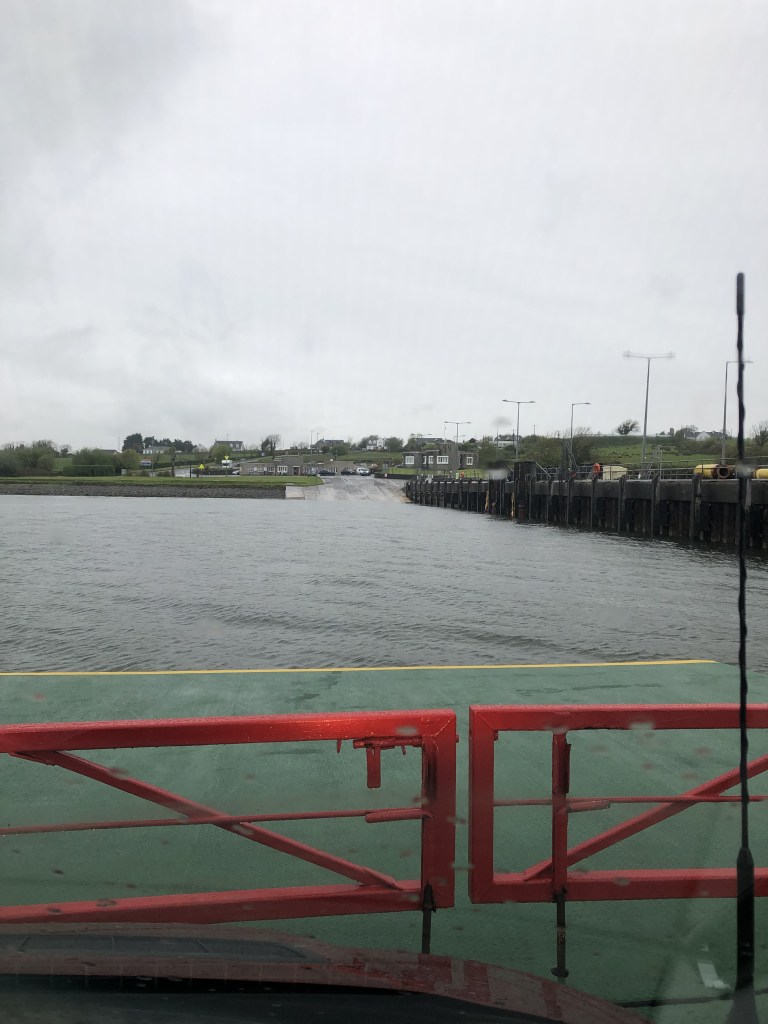
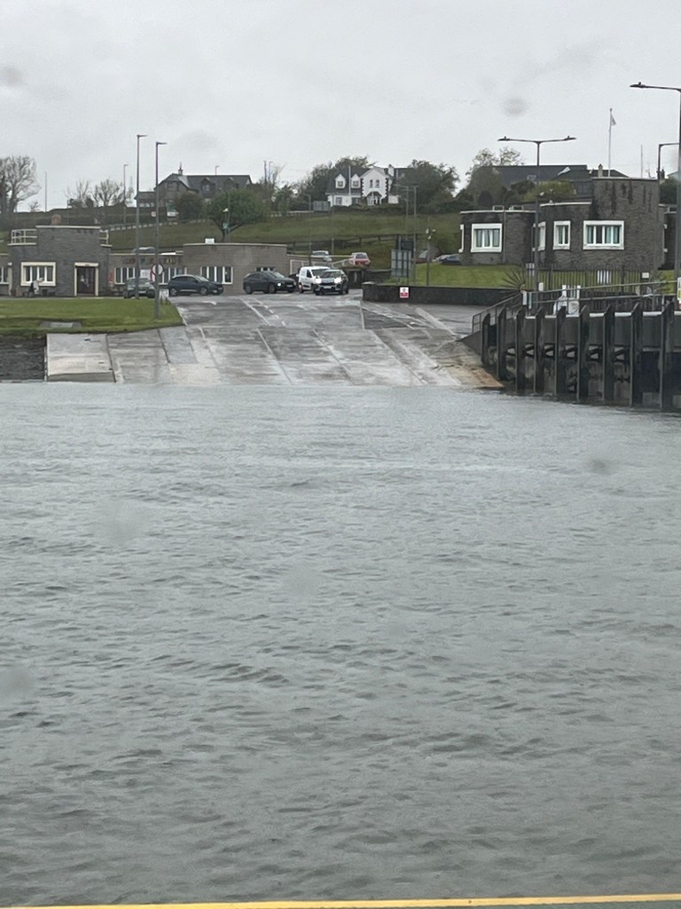
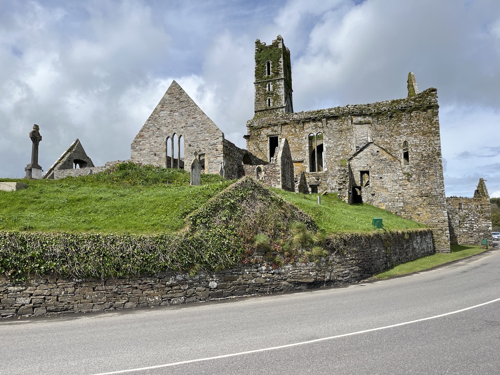
Today we crossed from County Clare into County Galway. The morning dawned overcast and dull but dry. It was 9C. A bit chilly. After a hot shower it was time to pack up the van for the day ahead.
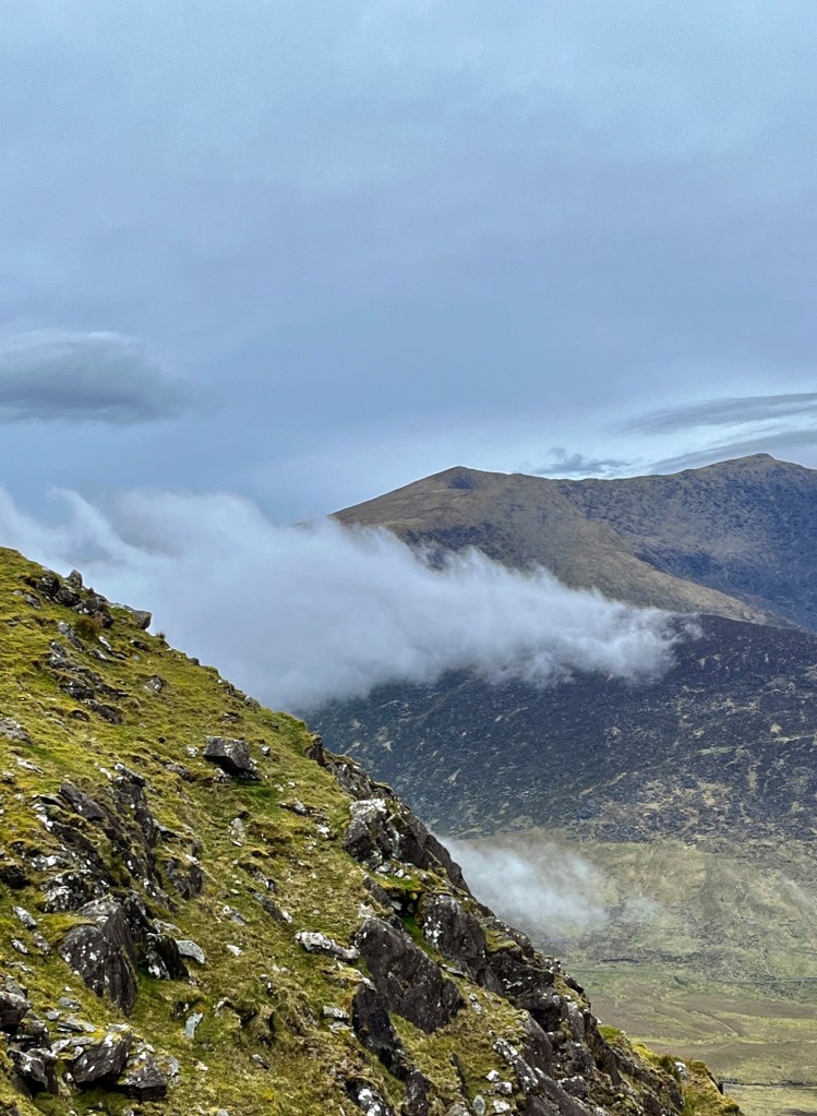
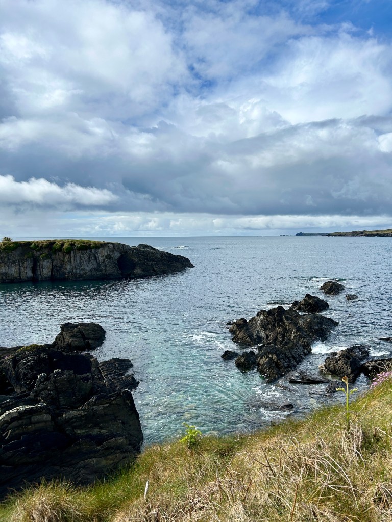
As soon as you leave Doolin you enter a part of Ireland called The Burren. The word “Burren” comes from an Irish word “Boíreann” meaning a rocky place. It is an apt description. Described as a Karst/glaciokarst landscape you are probably no wiser than I was having read about it. So, if you are interested you can read more about it here. It is a most surreal looking place.

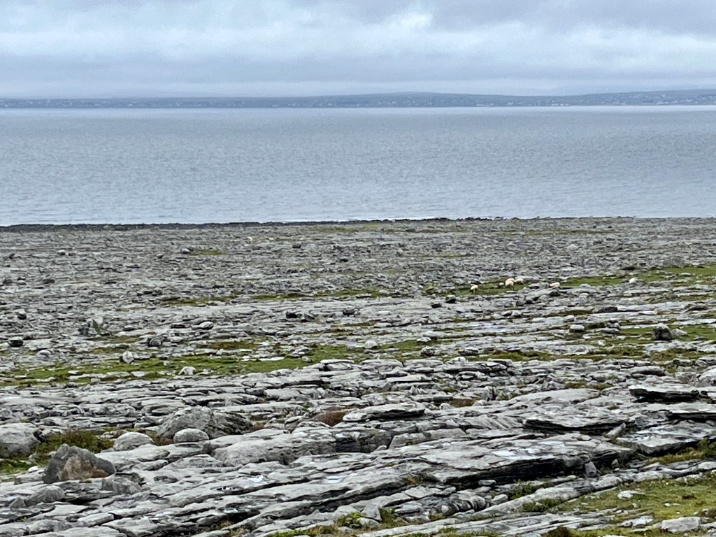
What is clear even to the untrained eye is that the numerous quite distinct layers indicate that it is a sedimentary rock. Glacial erosion has smoothed off the exposed top. I cant think of anywhere that I have been thats quite like it.
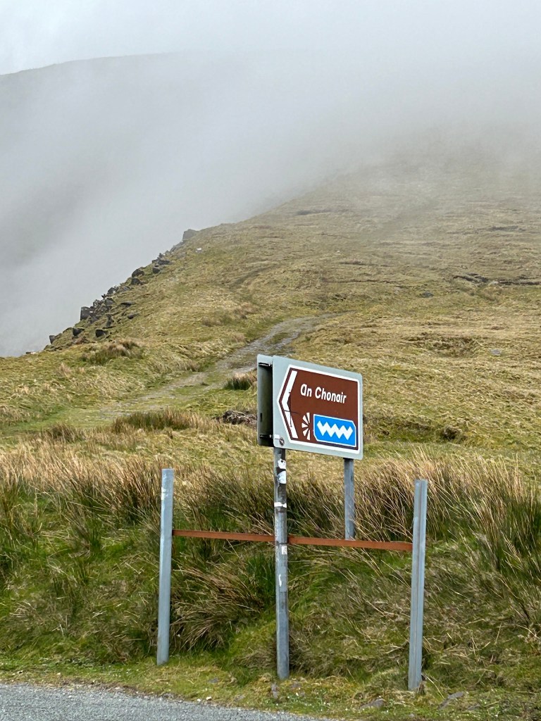
The road continues around Black Head where a short and stubby lighthouse stands. Last year I brought my ship into Galway Bay and had to seek shelter for a day under this very lighthouse to let a nasty little depression blow through before anchoring off Galway City the following day. It was nice to see it from the land side this time.

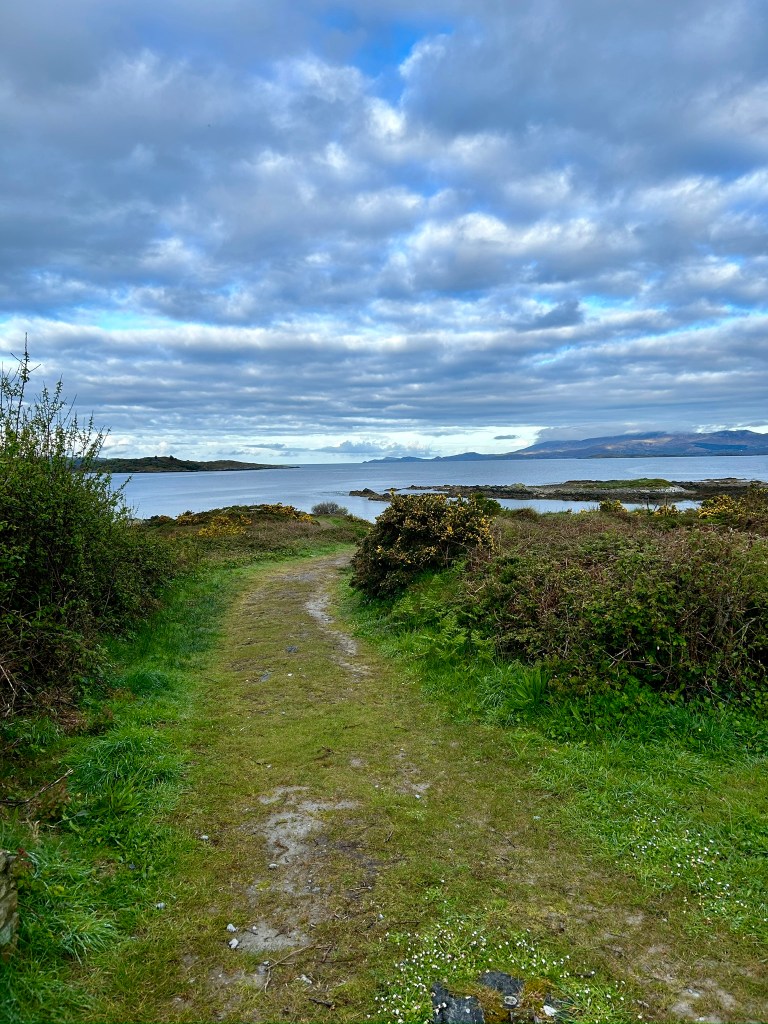
Continuing on we stopped in the small village of Ballyvaughan. It was deathly quiet. Really quiet. Looking out across the bay back the way we had just come all you could hear was the wind in the treesand the smell of the sea weed. The silence was punctuated by a few sandpipers calling to each other as they rummaged among the sea weed.

The beauty of the motorhome is the ability to stop, put the kettle on and take a break with a mug of tea and just stare at your surroundings. The bliss was short lived.
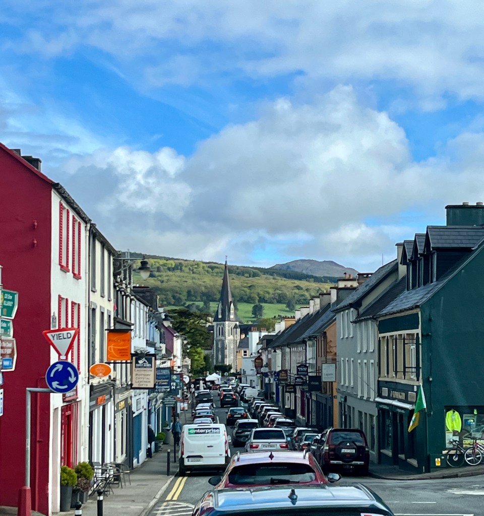
We headed into Galway city. Now I know why we have not seen much traffic of late. It was all in Galway. The place was grid locked. We had to find a supermarket to replenish our supplies but it cost us two hours. 30 minutes of shopping and 1 ½ hours battling traffic to get in and out.
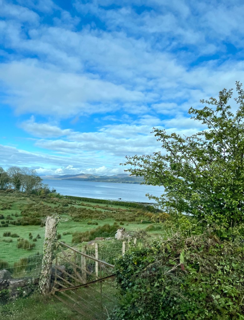
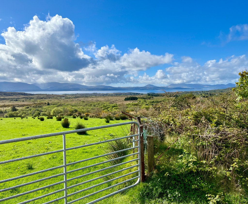
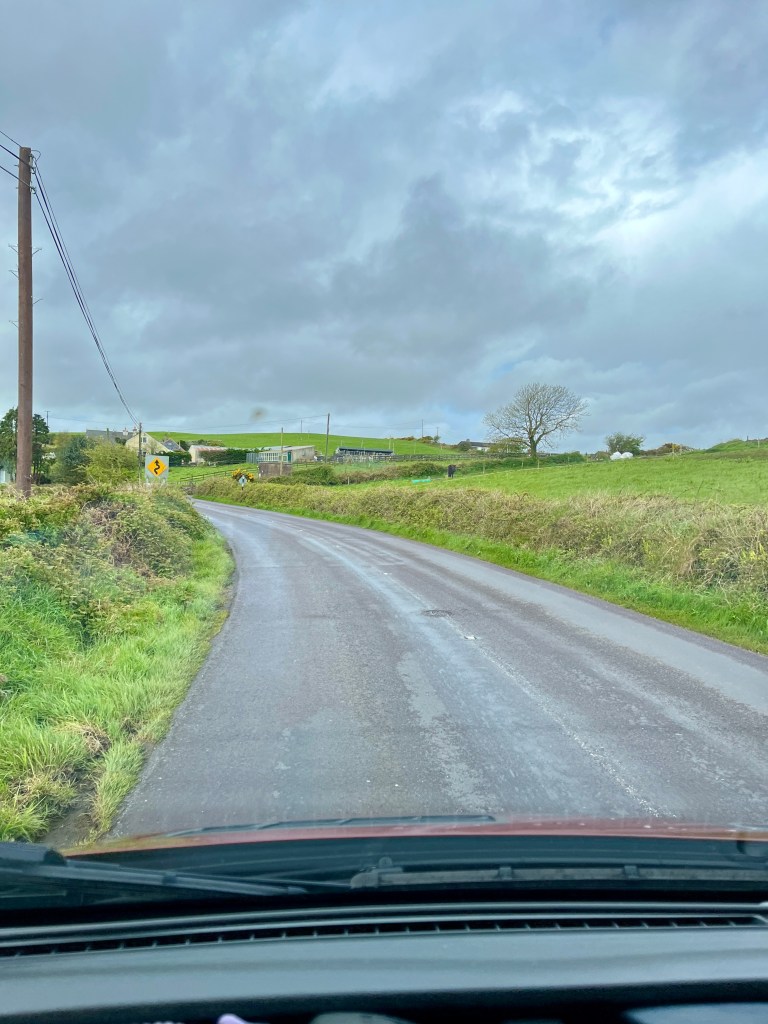
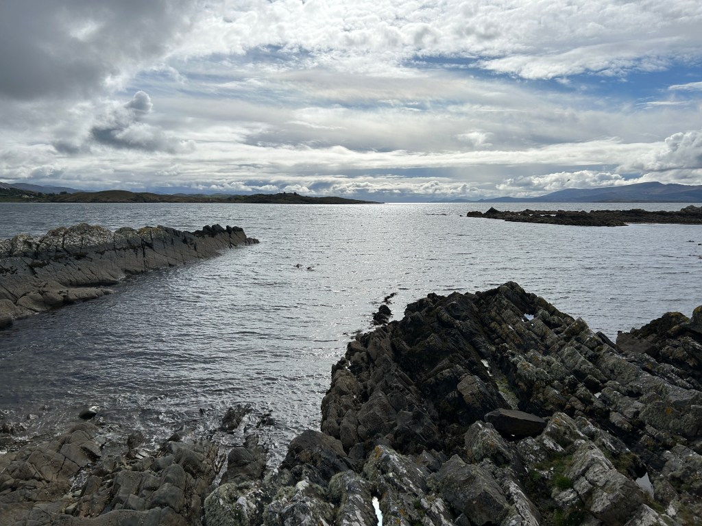
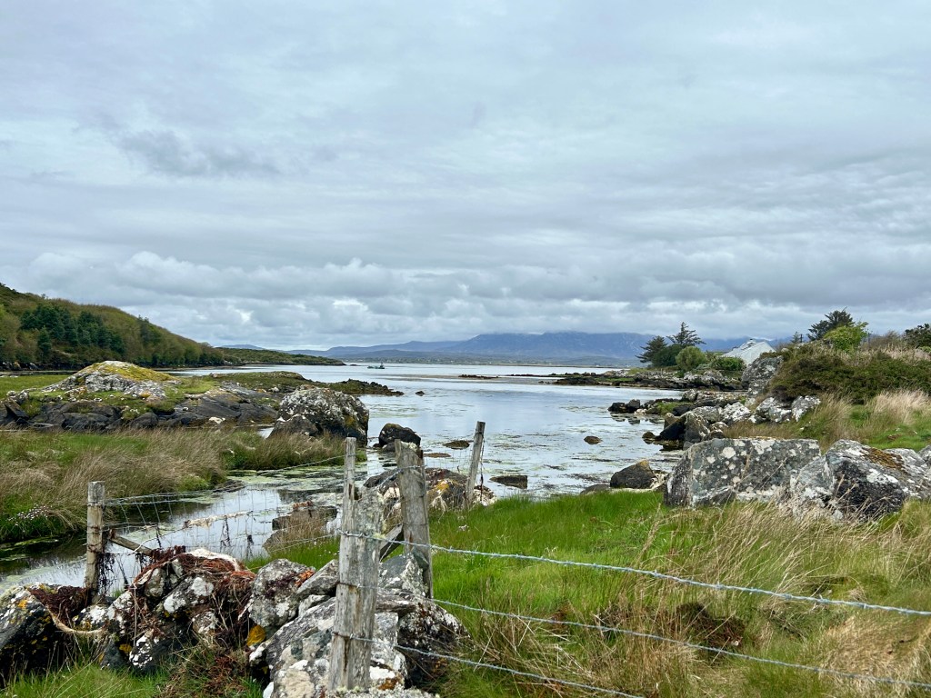
The HR Director on the ship I work on came from this part of the world. He gave me some tips and leaving Galway for Connemara we followed the road he suggested. It was amazing. The road is mainly on the flat but twists and turns continuously. Progress is slow. We headed for Spiddal on the north side of Galway Bay. Looking across the bay we could see from whence we came. This is a completely different landscape. It is austere. Rust coloured bogs interspersed with tea coloured lakes dot the landscape. Dry stone walls of dark stone thread their way from here to there.
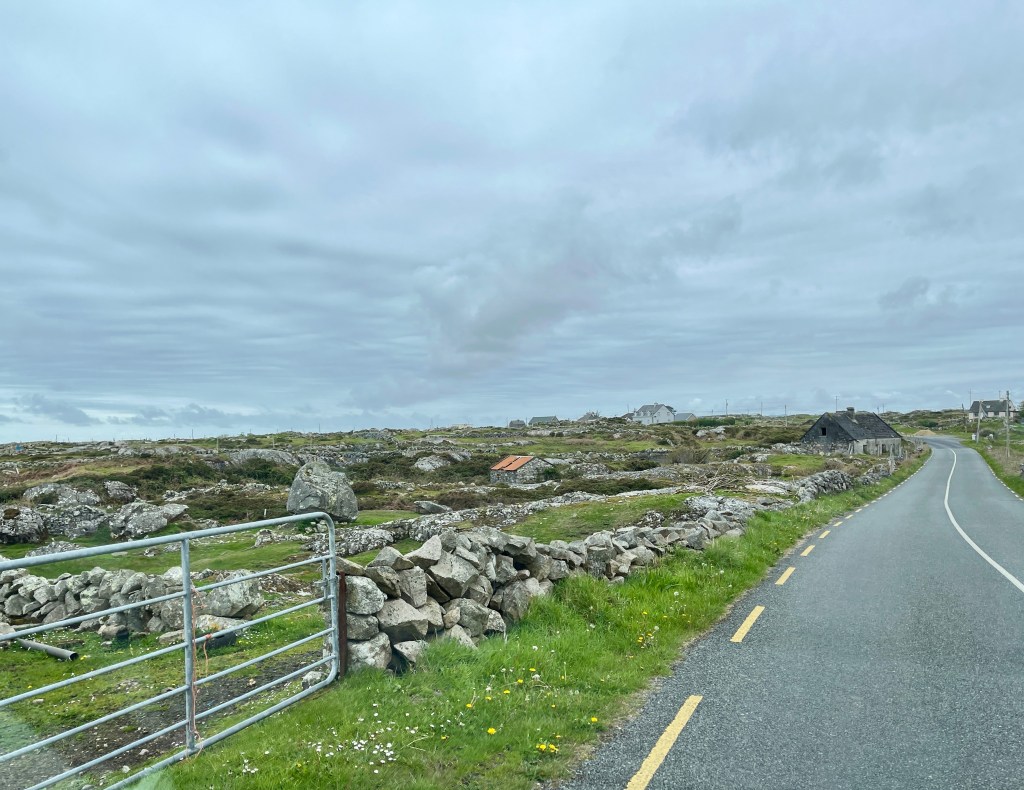
Some of the enclosures are no bigger than 10 metres by 10 but they are surrounded with dry stone walls. Some of them have stood for a great many years. Others were being constructed as we passed. Some contained a few sheep. Others a few cows. Within others were old barns and shelters made of the same stone. All looked weather beaten. Then, all of a sudden we came across a few new build houses plonked in the landscape. Some were built sympathetic to the landscape whilst others were not.
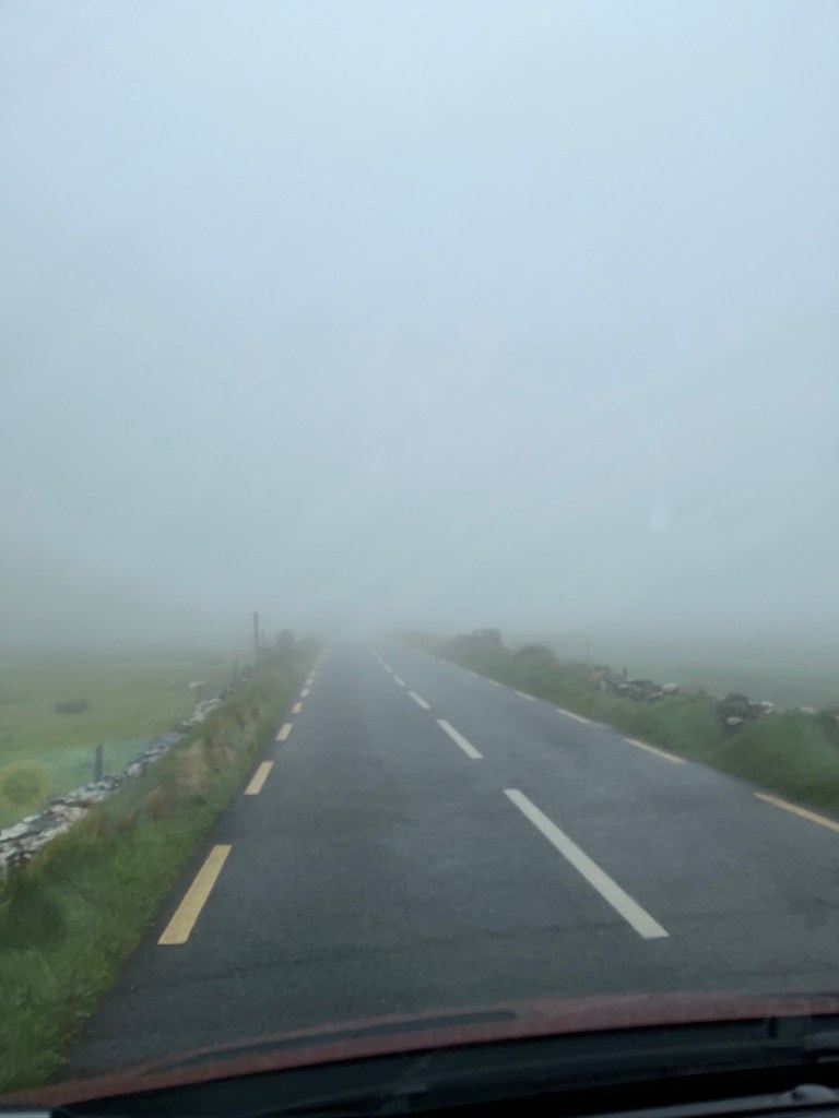
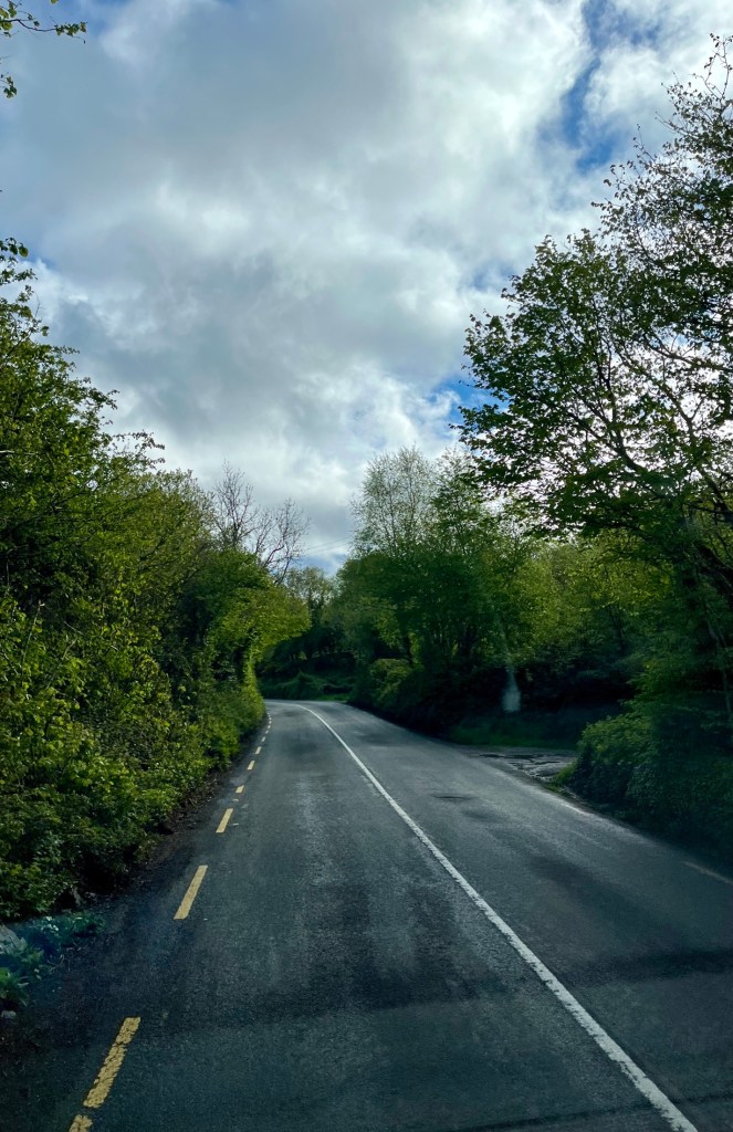
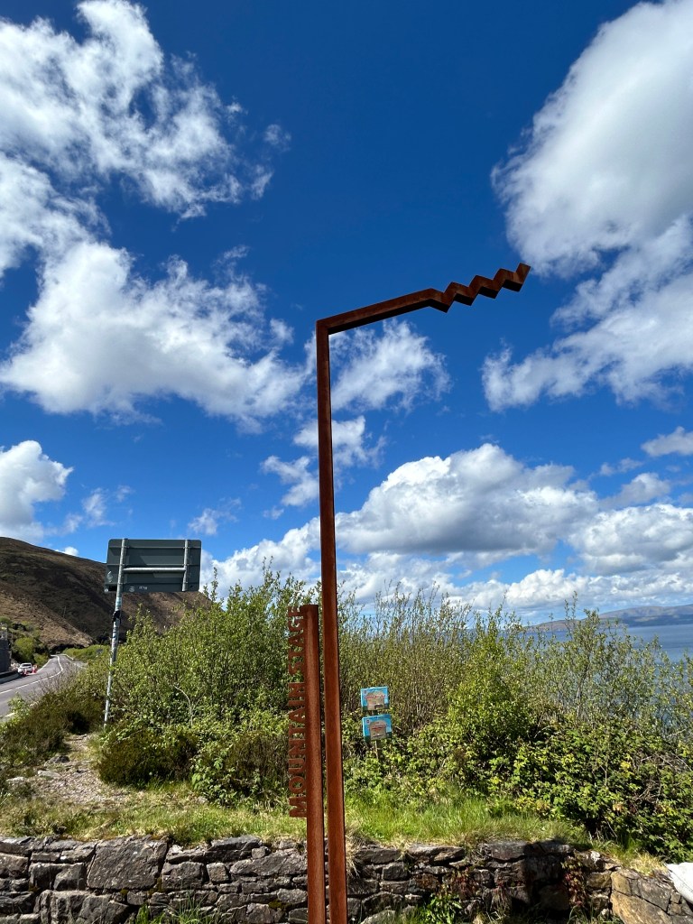
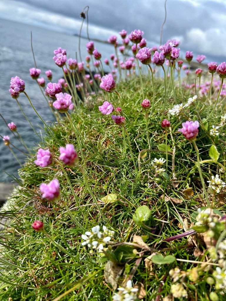
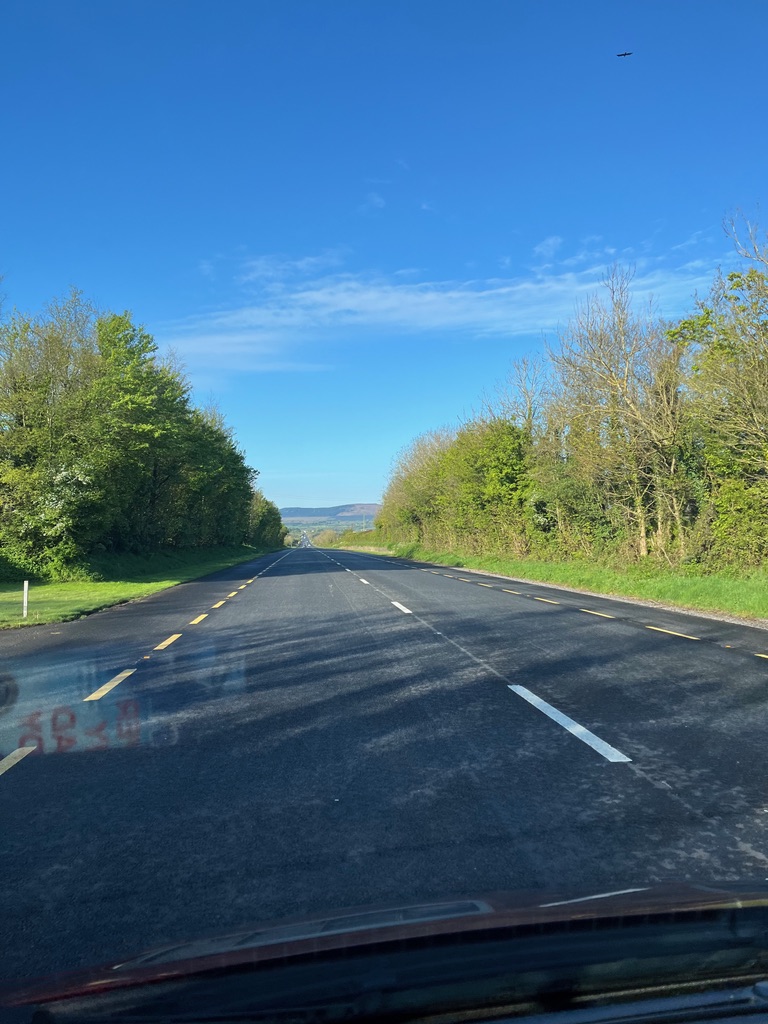
The Wild Atlantic Way snakes its way west following the coastline. It is quite a strenuous drive. The road can be narrow in places. The road surface at times threatens to empty the contents of the cupboards into the cabin. The suspension has taken a real hammering on this stretch where the road has sunk in places. Time for another stop to take a break and even among the peat bogs there are splashes of vivid colour.


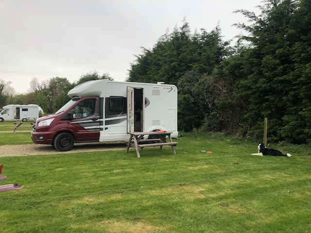
Journeys end is the Shanaheever camping site just to the north of Clifden. It is another peaceful oasis of calm set back from the main road. This weekend is Bank Holiday weekend. I expect the roads will be busy now for the long weekend. We shall see.
Todays distance: 122 miles
Total distance: 847 miles