Day 22, Buckie to Stirling.

The actual name of the small fishing port where we stayed for the last two nights is Findochty. It lies 3 miles east of Buckie. We stayed in a small campsite right on the sea front. I adored it. After I wrote the blog last night Debbie and I took the dog for a walk around the small harbour. I was reprimanded by Debbie for pointing out that one of the fishing boats we looked at moored to the harbour wall had a liferaft overdue for service. I know I know!

Sat on the harbour edge looking out to sea was this fellow.

I have no idea who the artist is or what it represents. But I love it. The facial expression is one of longing for the sea or perhaps waiting for someone to return from sea. Either way it really made an impression on me.

Sunset over Findochty harbour.

As we were walking back to the van I saw a lady collecting sticks off the pebble beach. She chose each piece of wood carefully. When she was finished I asked her what she was up to. Sandy who had moved here from Yorkshire makes knitted birds and perches them on the sticks she collects. She already had ideas for each stick. The dog thought the sticks were for her.

We awoke to full sun beaming into the van at 5am. I forgot to draw the blind over the sunroof window. We packed up and set off South to Stirling. Why Stirling you may ask. You will see tomorrow.

We took the scenic route as we had all day. Taking mainly B roads, (short for bloody terrible!), we made for Huntly in the middle of nowhere. This is serious farm country. Up and over hills on single track roads not often used by loons in camper vans. The road surface tested the vans springs and the ability of the fridge to keep its contents within. We had to stop as this little beastie was staring at us.

A railway viaduct in the middle of nowhere. What a beautiful piece of industrial architecture.
I could quite happily live there.

The road continued into the Cairngorm National park. We had travelled north up the west side of the park on our way to Buckie. Now we travelled south down the east side, passing Balmoral Castle. The car park was mobbed so we kept going until we reached Braemar. Again all the car parks were full so we found a spot in the car park at the Braemar highland games park. Photos on a big notice board nearby attest to the fact that the Royal Family are frequent visitors. I had been through this town before when I did a tour on my motorcycle. To me it is quintessentially Scottish. I particularly loved the look of the Fife Arms Hotel. A peek inside revealed what I would call a proper old hotel that has stood the test of time and stayed true to its traditional values.

The road south from Braemar rises up to pass the Glen Shee mountain resort, passes the most wonderfully named settlement of Spittal of Glenshee (where four Glens meet), drops down into Blairgowrie and Rattray before skirting Perth and dropping into Stirling. This stretch of road is like Arthurs Pass back in New Zealand. Beautiful, twisty and scenic with still remnants of snow on the higher peaks. You have to concentrate when driving this stretch of road.

We are here for two reasons which will become clear tomorrow. But here is a clue.

Not the caravan!

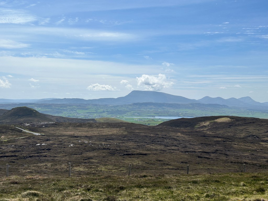
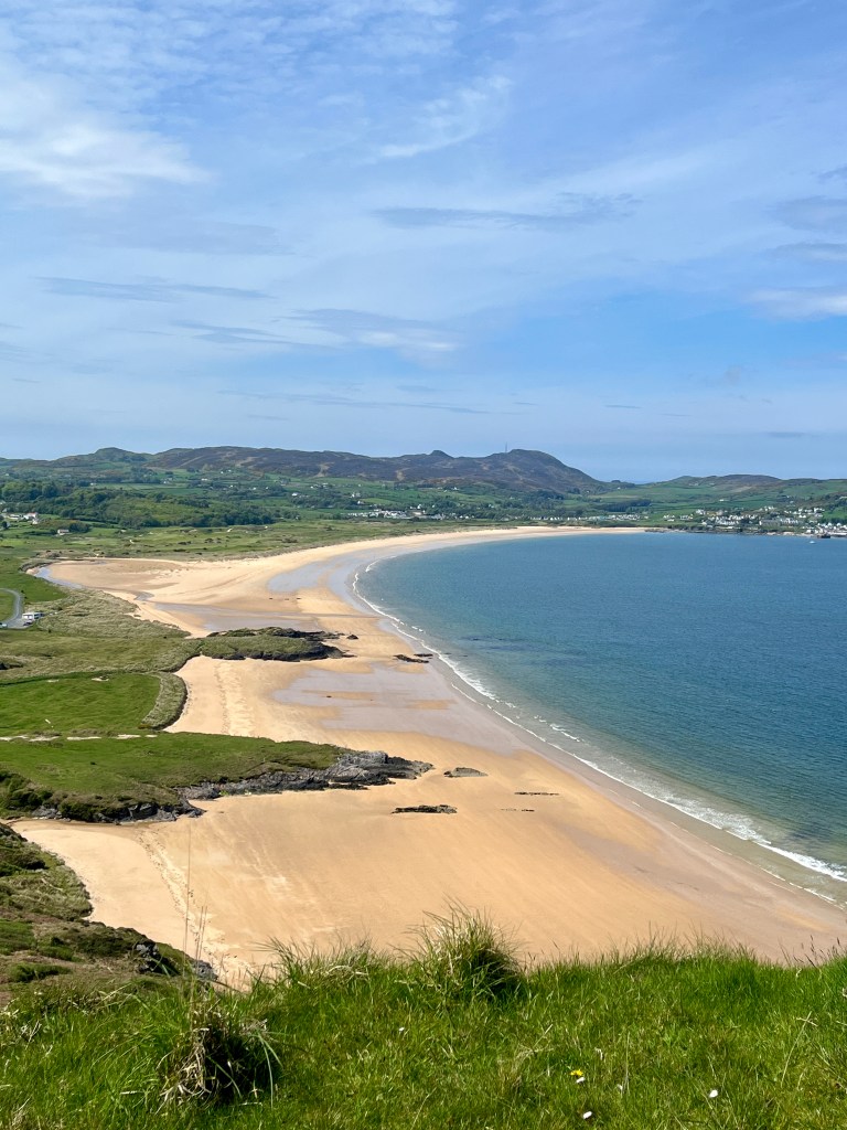
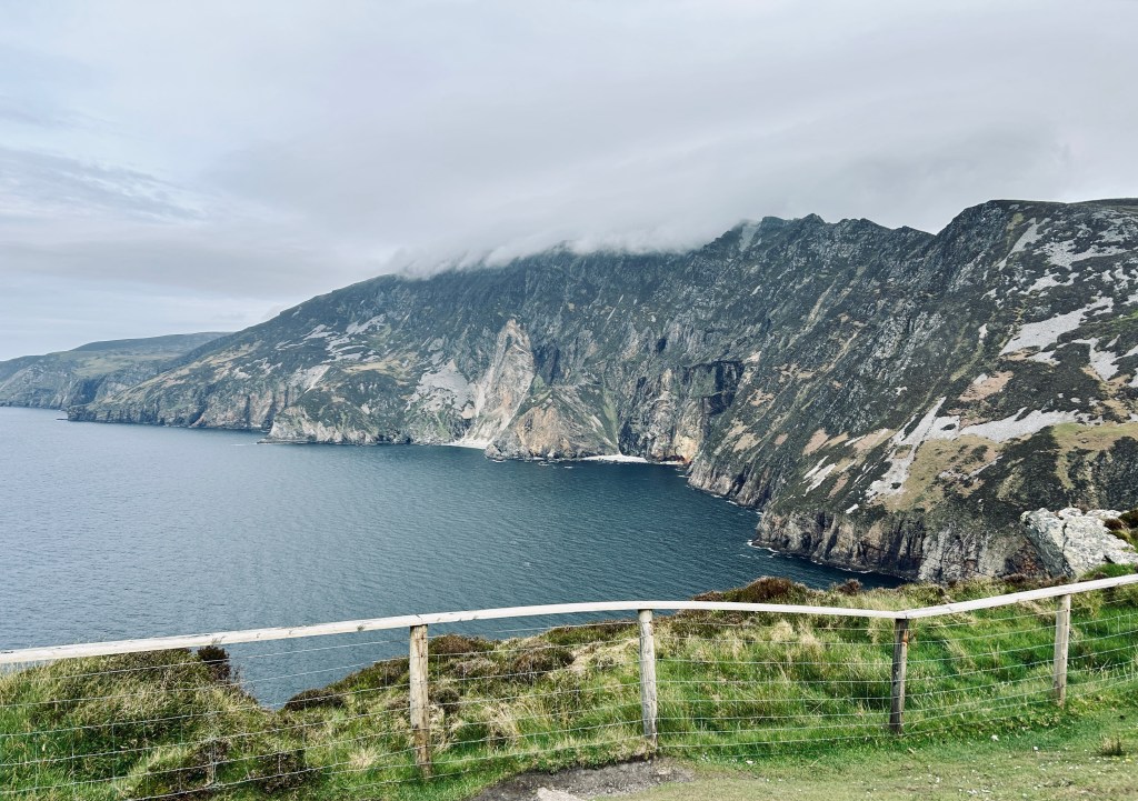
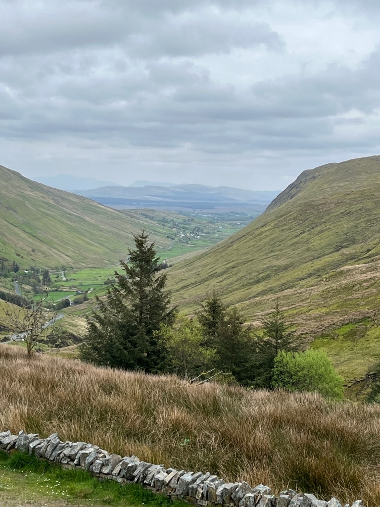
It has been another day of fabulous roads, amazing scenery and meeting lovely people. Well most of them. The roads for the most part have been reasonable. Like a lot of roads in the UK they need repairing in a lot of places. But they snake through some of the most lovely pastoral scenery around. I had no idea how remote some parts of Scotland really are.

Todays distance: 175 miles

Total distance: 2274 miles.

Day 21, Buckie and Culloden.

What a day it has been. Of emotions, sunburn and filling in gaps in our knowledge of events of old.

The day dawned warm and clear with amazing blue skies. Debbie started the day off at the Buckie fishing and heritage centre.

The lady at our campsite reception recommended this as the place to go. She was armed with the knowledge that George Forbes Stevenson , her Great Grandfather was a butcher whose young son Alexander would become her Grandfather. George had a shop and we had an address. The entire family emigrated to new Zealand on the White Star Line ship Athenic departing Southampton on the 29th January 1926.

I don’t know about you but when we find out information on our ancestors it gives me a sense of wonder.

Georges shop is the property with the brown facade. It is now apartments. The building is unchanged from the day the family left it and headed for their new life in New Zealand. We filled in some gaps but the one question we wanted answered we did not manage. Why did a successful businessman in his 50s sell up and move to New Zealand? He had no known connections that we know of with New Zealand before going.

The shop would have been busy. It was right next door to what is now Buckpool and was the original harbour in Buckie. It can be seen just behind the house. It is now redundant when a new harbour was built further east. The old harbour has been filled in but the old walls remain.

We know the town prospered. I snapped this from a notice board in the town.

There was no more to be done in Buckie. It took us just a little over an hour to drive west to Culloden battlefield. On the way we chatted about what Debbie had found and what she had seen.

Culloden on the other hand is like many old battle fields around the world. It is now just a field. It is hard to imagine the horrors that took place in the very short 40 minute battle between the British Government troops and the Scottish Jacobite men. It was utter carnage and as you look out over the moor we both struggled to imagine the scene. It was a peat bog of muddy and wet heather and shrubs. In April. The site does its best to portray the scene. Stones mark the mass graves engraved with the Clan names.

You can only sit and look out at the line of red flags that marks the line of the Government troops and the blue flags marking the line of the Jacobites. It is a moving place.

We returned home thinking of the days events. There are still more questions to be answered. There always are. Tomorrow we start our journey south. There are still a few outstanding items to do though.

Todays distance: 110 miles

Total Distance: 2099 miles.

Day 20, Stranraer to Buckie.

Day 20 was mainly a sit in the car and motor north East across Scotland. Our destination was 291 miles that took us around Glasgow to Stirling and up the west side of the Cairngorms. It was a day of two halves weather wise. We started out on cold and wet weather.

By the time we got to our lovely campsite at Findochty as few miles east of Buckie it was 22C and patchy blue skies.

We passed through parts of Scotland I had never visited. It was probably best not to have done it in a 3 metre high camper van but oh well. We passed through Callander which is lovely and I wished we had time to stop. It was a picture perfect little place. The A84 turns onto the A827 at Killin and runs along the west shore of the Majestic Loch Tay before we struck north on the B8019. I should have known by the B it was going to be narrow and twisty. Thus it was but oh the views.

And the logging trucks hurtling the other way. I still have both wing mirrors. I was too kind to a lot of cars coming the other way trying to get over as much as possible on my side of the road occasionally flinging mud up under my nearside wheels. The cars coming the other way seemed to make no attempt to slow down or move over so I adopted the hard nasty approach and held my line. I am simply too nice. The van is now covered in mud, dirt and dead flies. We continued. The village of Fortingall could be lifted straight from the Cotswolds.

The van is 3.2 metres high at the tv aerial. I winced passing under this bridge but no nasty scraping noises.

After 7 ½ hours we arrived at our camp for the next two nights. Right outside the campsite is the Red Admiral pub. It would have been desperately rude to travel the best part of 300 miles and not support a local business. So we did. And I was glad of it. The dust of the road was heavy in the throat. A cold pint of local brew was just what the doctor ordered.

Tomorrow will be a special day. Debbies Great Grandfather and his son, her Grandfather both came from Buckie and we are going to see what we can find. In addition we will visit Culloden battlefield.

Todays Distance: 291 miles

Total Distance: 1989 miles.

Day 19, Island Magee to Stranraer

Our adventure around Ireland came to a close today but what a blast it has been. We left the campsite early today and said goodbye to the farmer on whose land the site rests. He was busy feeding his chickens, ducks and guinea fowl in the farmyard. A scene from a Constable.

We headed south along the A2 for the short drive into the town of Carrickfergus. Dominated by its castle on the shore it was a sleepy monday morning here. It started to rain. It did not stop. But for us it was a chance to grab a decent breakfast at Springsteens American Diner. Give them their due, they did do an amazing, if not the healthiest grant you, breakfast with non stop coffee. Debbie popped into Sainsbury’s next door whilst I took the dog for a walk around the marina. Clearly Carrickfergus was a place of some importance in days of yore. With a Scotch[sic] quarter and an Irish quarter (the other two quarters were missing?) this place has history. Alas we could not stick around to find out what it was.

Carrickfergus Castle

The road down into Belfast passes through the suburbs found in any town around the globe. We checked into Stena Line for the Cairnryan sailing. It is a route I have never been on. We were first to arrive for the 15:30 sailing. Just as we started to board it really started to pour with rain. Debbie spied the gusty wind conditions and popped a seasick tablet in her mouth just in case.

The last view of Northern Ireland. Rain!

She need not have worried. The dog stayed in the van and took up residence in Debbie’s front seat. The crossing was quick. 2 hours 25 minutes berth to berth. When we returned to the van the dog was still in Debbie’s seat curled up until we opened the van door. You would think we had been away for hours by the greeting we got.

We are now set for the night in Ryan Bay campsite just to the north of Stranraer. It is lashing down with rain. It is time to do nothing but get our books out. It is a filthy night. We arrived into Ireland in dirty weather. We left Northern Ireland in dirty weather. The beginning of the Scotland Sojourn seems likely to continue in the same vein.

The route around Ireland and Northern Ireland. In at Rosslare. Out at Belfast.

Tomorrow we have a 280 mile drive north. Why? You will have to wait until tomorrow for that.

Todays Distance: 65 miles including the ferry crossing.

Total Distance: 1698 miles.

Day 18, Golden Sands to Islandmagee, County Antrim.

Today we continued along the Coastal tourist route following the A2 road. It is easily followed as there are signposts all the way with Causeway Coastal Route on them. Billed as one of the world great Road journeys it is worth doing.

There is a noticeable difference in the volume of traffic on the road. It was much busier. It is also a very sunny and warm weekend but I think I preferred the lanes of the West of Ireland more. There are a lot more people about too. Many of the seaside towns we passed through were very busy. Something we rarely saw on the west coast. Some were delightful such as Articlave and Coleraine. We passed the beautiful Royal Portrush golf course and it was very busy.

One event we had not planned on bumping into was the NW200 motorcycle race. Road Racing around a circuit roughly based on the towns of Portstewart, Portrush and Coleraine, the event ran from the 6th to 11th May. Today was clean up day and returning the circuit back to normal road use. It was very busy in that area, particularly with the thousands of motorcycles and fans that had gathered and were now heading home.

Our first stop of the day was the Giants Causeway. It was a must see. As a child I had a boardgame with the Giants Causeway as a stop on it. I had seen TV shows aplenty. But to stand there was amazing. Made up of around 40,000 basalt columns of mainly hexagonal profile it looks like a bees honeycomb from above.

The path is flat along the shore but behind it there is a path called the shepherds stairs consisting of 167 steps up the cliff face. We chose to do that to get a bit of air into our lungs. The views from the top are worth it as you look along the length of the bay and down onto the bus stop by the main columns. Yes there is a bus from the visitors centre down the slope to the columns and back if you need it.

It is difficult to walk away from this UNESCO World Heritage site without a sense of wonder. I have seen the same columns on the Isle of Staffa and Fingals Cave across the water in Scotland formed by the same volcanic events that formed the Giants Causeway. You simply cannot pass by without going to see it.

We moved along. This whole coast is full of dramatic cliffs and Vistas. Epitomised by the ruins of Dunluce Castle, the views are staggering and vestigial. Time has eroded these cliffs.

The ruins of Dunluce Castle. Not for the Lord with Vertigo!

The road continues around the NE corner of the Island at Ballycastle (which features in my own genealogy) before dropping to the coast at Cushendall. This is a lovely little town complete with Sunday market, people eating ice creams and lots of motorcyclists stopping for a coffee.

The road then snakes its way hugging the waters edge, literally at times to pass through the large and rather dull looking town of Larne before we arrived at our campsite for the night in Islandmagee.

We are only 40 minutes away from the ferry terminal in Belfast where we will cross over to Scotland tomorrow completing the Irish sector of our adventure. We have unfinished business in Scotland to attend to which will then see us heading south for home. More to come before then though.

Todays distance: 89 miles

Total distance: 1633 miles.

Day 17, Culdaff Beach to Golden Sands holiday park.

Today dawned bright, calm and warm. It had all the makings of a really lovely day for our last on the Wild Atlantic Way. It would be only 70 miles from start of day to the rest place for the evening. I wanted to be on the County Antrim coast to set us up to visit the Giants Causeway the following day. Under a bright blue sky we set off.

As I was to turn right out of the beach carpark I spied this right opposite and thought it was another gem of a find and simply had to be researched for more information. Alas I could find nothing so if there are any sleuths out there I would be interested to know. Not least why an RAF pilot is flying a Royal Navy aircraft.

On we went following green and pleasant lanes to the west coast of Lough Foyle. I wanted to see the lighthouse at Inishowen head. It flashes Fl(2) WRG 10s. This means that it is a sectored light having a white sector, a green sector and a red sector and flashes twice in 10 seconds. The fact it is sectored means that is covering a danger. To be safe and clear of the danger you must stay in the white sector as you approach the Lough. If you see a green light you are too far to starboard and need to come to port to enter the white sector. If you see red you are too far to port and need to alter your course to starboard to enter the white sector. It is likely guiding ships into Lough Foyle passed some outlying rocks or sandbanks. Here is the mariners chart showing the light house circled and the three coloured sectors. The red is indeed covering outlying sandbanks whilst the green helps clear the headland. By keeping the light dead ahead and white ships can safely enter the Lough.

But as I have mentioned previously it is what you find that you did not know about that brings these places to life.Next to the lighthouse there was this information board.

The board talks of Colmcille. You may know him better as Columba. For it was from here that Columba sailed to Scotland and the Island of Iona to take Christianity to the Picts. I have been to his monastery on Iona but I always thought he left Ireland from closer to Rathlin island further east along the coast. If interested you can read more here.

We then took the road south along the Lough to the delightful little town on the waters edge of Greencastle to take on supplies before continuing south to the larger town of Moville. Still modest in size, Moville is a quintessential seaside town. It was a very pleasant little place. A notice board in the town states “Moville was a point of embarkation for travellers, especially emigrants, to Canada and the United States of America. In the late 19th century, steamships of the Glasgow-based Anchor Line and Allan Line made port at Moville while en route to and from New York, while just after the turn of the 20th century, the Canadian Pacific Line also established a terminal at the port as part of their service connecting Liverpool and Montreal for Canadian-bound Irish immigrants.”

Another feature on interest was an arrow carved in a stone in a layby that we stopped briefly in, in yet another blink and you miss it item of interest. I can imagine that the sealed road was a cart track when the surveyors stone was inlaid into the wall.

We continued on to the border with Northern Ireland and the end of the Wild Atlantic Way. The way ends right on the border in the rather nondescript town of Muff.

In the blink of an eye the road signs are in miles per hour instead of Kilometres and the phone numbers on businesses are now familiar UK format. There is no formal border crossing, no duty free, nothing. The road changes from the R238 on the Irish side to the A2 on the Northern Irish side. It is the same road. All the formalities we went through in Rosslare with the dog and the expense and the visit to Irish customs simply don’t exist here. We could simply have crossed the border and back with zero checks at all. Weird!

We passed through the large town of Derry/Londonderry. The name depends on who you talk to. The first road sign for Londonderry had the London spray painted over.

The adventure is not over yet. We will now pass along the Antrim Coast tourist route to get to our ferry in Belfast. We still have another 11 days with the van so we will cross to Scotland as there is still unfinished business there to attend to.

Our campsite tonight is the Golden Sands campsite in Benone. It is huge and busy and full of families enjoying the weather parked on top of each other. It is not our cup of tea at all but it was all I could find that had space available on a Saturday night. The glorious weather has brought everybody out for the weekend. Give me Sleepy Hollows campsite with its 10 pitches over this any day. There must be close to 300 caravans, motorhomes and large caravan homes here. But it will do for a night.

Todays distance: 70 miles.

Total distance: 1544 miles.

Day 16, Mulroy Drive to Culdaff beach.

What a day! Perfect touring weather. Perfect places to visit and perfect interaction with the locals. Just perfect.

The morning dawned bright and clear with a forecast that looked really good for the day. We set off for Ramelton in Donegal. It is a very pretty town straddling the River Leannan. But it is famous for one of its sons. One David Gallaher. Who he you may ask?

David Gallaher was born in Ramelton in October of 1873. He emigrated with his family when he was only 5 years old to New Zealand. He grew up to Captain the Old Originals, the Original All Blacks Rugby team. There was no way we were not going to pay the place a visit. In a small garden there is a fitting memorial to him. You can read more of his story here.

There were even ferns planted under the sculpture. I had my All Blacks shirt on. One of the locals that I talked to remembers the great Jonah Lomu coming to visit the place. Another said that one day he saw “giants” in the garden when a number of the more recent All Blacks came to visit. They are big men.

We walked up the street from the garden to where the great man was born. Like all these places, it is just a house now. But still worth a look.

We had parked opposite a chemists and as we passed to return to the van, the pharmacist was outside being filmed by one of his staff doing a reminder to use sunscreen. He was making a right mess. I said that in New Zealand we say slip slop slap. Slip on a vest, slop on the sunscreen and slap on a hat. He loved it and asked if I would assist him. I ended up filming the advert with him. He said I was going to be famous in Donegal as the advert was going to be screened in all the pharmacy shops. I am famous again!

How could we beat that for a start to the day.

We headed for Malin Head. The most northern part of Ireland and the most northern part of the Wild Atlantic Way. We had to go as we had visited Kinsale lighthouse at the most southern part. To get there we climbed up and passed through the Gap of Mamore. Single track again and nobody stops to let a camper van pass. I had to pull over every time. But oh the view from the top of the pass was amazing.

So good that even the dog had to take time out to sit and admire the view.

I was intrigued to see a shrine and Holy well at the top.

We continued on to Malin Head. The good weather had brought everybody out including a large entourage of motorcyclists. I had sailed around Malin Head many times. I had heard the words Rockall Hebrides Malin many times on the shipping forecast and even picked up messages from Malin Head Radio as we headed out usually from Liverpool into the North Atlantic bound for the United States on cargo ships. We passed Malin Coastguard radio station with its aerial array and it brought back many great memories. Did you know that the Titanic tested its radio systems with Malin Head radio when it was out on sea trials from Harland and Wolf in Belfast?

There was no way we could do anymore this day without spoiling what we had already done. So we headed for days end at Culdaff Beach carpark where we will spend the night. It is a fantastic spot and I am sure we will be joined by other vans being a Friday night as well. Blue skies, picture perfect beach, rather coolish water temperature and an evening stroll. Perfect!

Todays distance: 99 miles

Total distance: 1474 miles

Day 15, Meenalecky to Mulroy Drive.

After a brief shower of rain yesterday evening we woke to a bright and dare I say it warmish day. 16C when we set off. Today we were just going to follow the Wild Atlantic Way and see what it presented us with. We are crossing the north west and top end of Donegal. It is windswept and spartan. Yet dotted about are collections of houses. Some new and on the large side. Are they holiday homes?

The road snaked its way along the hillsides into the small town of Dunfanaghy before climbing steadily away from the main road on a single track to Horn Head. Another amazing panorama spread out before us. It is all on private land now so access is limited but the view from the top where a WW2 lookout tower remains is staggering. The remains of a Napoleonic era lookout from 1805 still remain. I have sailed along this coast a few times and always viewed it from seaward. It is rather lovely to see it from the other perspective now.

Returning down the track we turn east towards Fanad Head. I had heard of this place. Firstly because a lovely lighthouse beloved of many a mariner adorns the headland but also that a 6000 burial tomb lies close by here. Rather puts things into perspective when you here the age of that don’t you think. This is hard country to farm. Walls of stone delineate fields strewn with boulders. What existence could have been eked from this landscape? We heard that peat cutting and seaweed burning for iodine were main professions.

Looking out over the present vista it is hard to imagine how tough life was.

The road now descended from its lofty perches past the most gorgeous beach at Ballymastocker strand and followed the line of the many sea inlets. Fish farming is big here.

We are now set for the night at the Mulroy drive campsite. This is a new site opened last year by a father and son who have visions to transform it into a must come place. It is a calm evening. Other than 3 motorcyclists we are alone. The midges are out so we are staying in to deprive them of an evening feast.

The son gave me a map listing many activities in the area. Whilst we have only a day this place could well be a hub for a few days at least.

Tomorrow is going to be a big day. Two things we must see. But more on that tomorrow.

Todays distance: 94 miles

Total distance: 1375 miles.

Day 14, Killybegs to Meenalecky.

The day opened to a view across from whence we had come to County Sligo. It was bright with a light breeze coming off the sea from the south west. High cirrus clouds obscure the full sun. The van thermometer reads 14C. We both had a good sleep. The fresh air is so thick and clean.

The road leaves Killybegs heading west and slowly climbs whilst twisting and turning. The trees all disappear. Moorland and the tufts of scrubby grass dominate. The landscape turned harsh. The single track road is rough in places and total concentration is needed for it climbs and dips and turns into blind corners. There are sheer drops with no protection should you stray. Slowly does it.

Our first stop of the day is to Slieve League. The magnificent cliffs are a highlight of the Donegal coastline. We have to leave the van in a car park around a mile and a half from the viewing platform. The road from there to the platform climbs sharply to begin with to get the heart and legs pumping then climbs less sharply for the rest of the way. The reward is this……..

The breeze coming off the sea is forced up. It cools your face and continues up to produce orographic cloud on the peaks. All you can do is stare, watch the wheeling seabirds, smell the salt on the breeze and take it all in. We retrace our steps.

The Wild Atlantic Way hugs the rugged coastline. The day brightens and we catch glimpses of white sand beaches with blue seas. They would happily be at home in the Seychelles.

The road stays high above sea level. Tiny little ports appear and I have no idea why they should be there. I can only think they are for fishing boats to land their catch but really I have no clue. But somebody went to some expense to build it.

It is tough going on this road. It is bumpy and very narrow. The only saving grace is that traffic is few and far between. But the concentration takes it out of you. The crockery rattles and shakes in the cupboards. The dog just lies on her coach and seems to ignore it all. The road bursts into civilisation at the small town of Ardara. With its little supermarket and shops it is a magnet for the local communities. No sooner do you enter it when you leave again back onto serpentine roads.

We stop in a layby to take a shot of this view. I spy a French passport dropped on the road. I retrieved it. What to do next? I opened it and using the name and photo I tried facebook and instagram to try and find the owner with no luck. I find the address on google maps but it does not help. I found a room key for a Brittany ferry crossing from Roscoff to Cork tucked in among the pages so I called Brittany Ferries in Cork and explained the issue. I said to the lady to look on the manifest for that sailing and she should have this persons contact details. I left her my phone number to pass on should the person call in a panic. She said she could not help me and I should hand it in to the Garda (Irish Police). No chance of that as we are remote for a few days so I kept the passport safe. We continued on.

We arrived at our campsite for the night. The delightful Sleepy Hollow campsite in the village of Meenalacky whose claim to fame is that the pub, Leos Tavern, is the home of Enya and Clannad the Irish band. This is our best campsite so far. Small, intimate, spotlessly clean and Ian and Nic who own the place are just a delight.

As we were setting up our pitch for the night. I had a missed call on my mobile. A French number. I called it back. “Brittany Ferries tells me you have my passport” says the man on the phone. I tell him I do but can he confirm his date of birth in the passport which he does. He is just over an hour away. He arrives and thanks me. He did not even know he had lost it until Brittany Ferries called him.

To celebrate we go to the pub with the dog.

We are greeted by the locals as if we were long lost friends. The pub fills up. They all love the dog.

After a Guinness or two we walked back to the campsite. I am knackered. The driving today had been tough even if it was not a lot of miles. These Donegal roads take time to navigate.

Todays distance: 79 miles

Total distance: 1281 miles

Day 12 rest day, Day 13 Ballina to Killybegs.

The rest day in Ballina achieved what it was meant to. We caught up on all the chores that we had fallen behind with. Cleaning the van, getting the laundry done and just catching up with the usual tasks of life that still need attending to even when on the road.

Despite the sky looking a little unpleasant it was warmer than of late when we set off for the run to Killybegs. The road from Ballina strikes north up the east side of the River Moy estuary. The landscape is estuarial and flat. But this immediately caught my eye.

With no identifying marks I took a photo to see if I could identify it later. Well what a find she was. Her name is Creteboom. Creteboom is one of only three ‘Crete Tugs’ that survive today, making her an incredibly rare and hugely important example of industrial and maritime archaeology. She is a monument to World War I invention and ingenuity and already attracts a lot of interest and is a popular tourist attraction for boat trips. You can read her very interesting story here. Another one of those amazing finds just off the road that well trod.

As we continued east towards the town of Sligo the imposing face of Ben Bulben fills the horizon. It is hard to miss. Part of the Darty mountains it dominates the landscape. The road passes along the western slope. It seems there are numerous walking trails signposted to it from the road.

We dropped into Sligo town. One of our gas bottles had run out and we have had a devil of a job getting a replacement. You would think it would be easy. But oh no. I phoned around a few suppliers to find a 6kg propane gas bottle. Nope. Seems it is too small for most applications. Until I called Sligo fuels and spoke to Ceara. What a complete and utter darling she turned out to be. Her first questions was “is it a south or north fitting?” Who knew there was a difference. I didn’t. I told her I had no clue. “We have 6kg bottles with both fittings so just bring it in.” I did. South or North refers to the Irelands. The North and also the UK valve fitting is female. The South Ireland and Europe is male. We had the north fitting and we were duly supplied a correct replacement gas bottle. Result! We filled up the van with fuel there as well. It was the least I could do to repay her kindness.

Just to the north of Sligo we stopped at St Columbas Church of Ireland in Drumcliffe. For here lies one of Irelands most famous sons. The poet WB Yeats and his wife Georgie. There was no way we were passing by without paying our respects.

His Great Grandfather John was the Rector at this church. The nearby cafe was relieved of a decent cup of coffee, a slice of raspberry and coconut cake and a book of poetry. We reflected and passed time in the church and moved on.

The road winds its way passed Classiebawn Castle on Mullaghmore head. We reach the seaside town of Bundoran. Most of the shops have their shutters down. It looks like one of the old English seaside towns. A shadow of its former self.

We pass through the bustling town of Donegal before making journeys end at Killybegs.

I took Debbie around the port road where I had docked my ship two years ago. We are camped for the night in the Killybegs holiday park overlooking the harbour entrance.

Here is the pilot Patsy Kelly and I just after we had docked.

I will leave you with a few shots from our motorhome. It has been another interesting day. Whilst we dont stop and take hundreds of photos, the changing scenery, the little towns and villages and the people we meet all paint their own pictures. Donegal is often called the forgotten county. I can understand that sentiment.

Todays jouney has taken us fro County Mayo to County Sligo to County Leitrim and finally into County Donegal. I had never heard of County Leitrim until today. Thats the beauty of travel. learning never stops.

Todays distance: 116 miles

Total Distance: 1202 miles.