Day 4 on the Wild Atlantic Way. Cloon to Dingle.

Hark! What light through yonder window breaks? ’Tis the sun! Shhh. Dont scare it away.

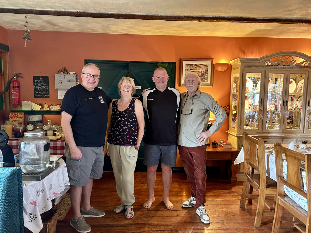
Our hosts Lillian and Dominic at the Old School House B+B in Cloon sure know how to put on a good breakfast. What an awesome couple they are. Witty, charming, warm and interesting and wanting to get to know their guests. With stories of the history of the old school, Dominics career in the music industry, Lillians talk of walking the Camino to Santiago de Compostella and meeting fellow travellers, the day got off to a flying start. Elegantly quirky, the Old School House is not for the traveller that wants all the mod cons, squeaky clean perfection or business like fitments. This is more for the traveller that wants a traditional Irish welcome into a 1800s family home with plumbing to match. We loved it!

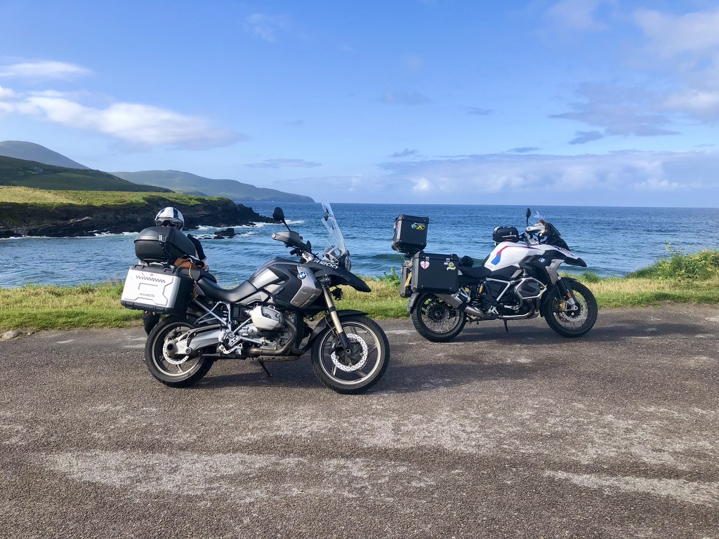
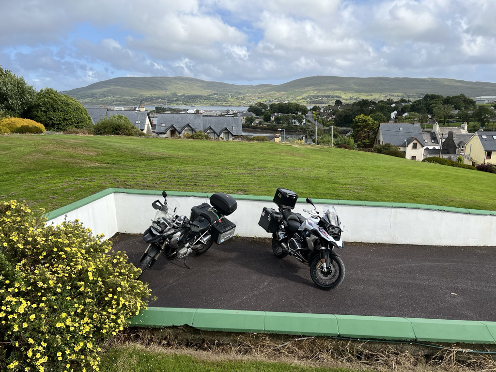
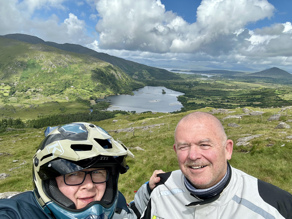
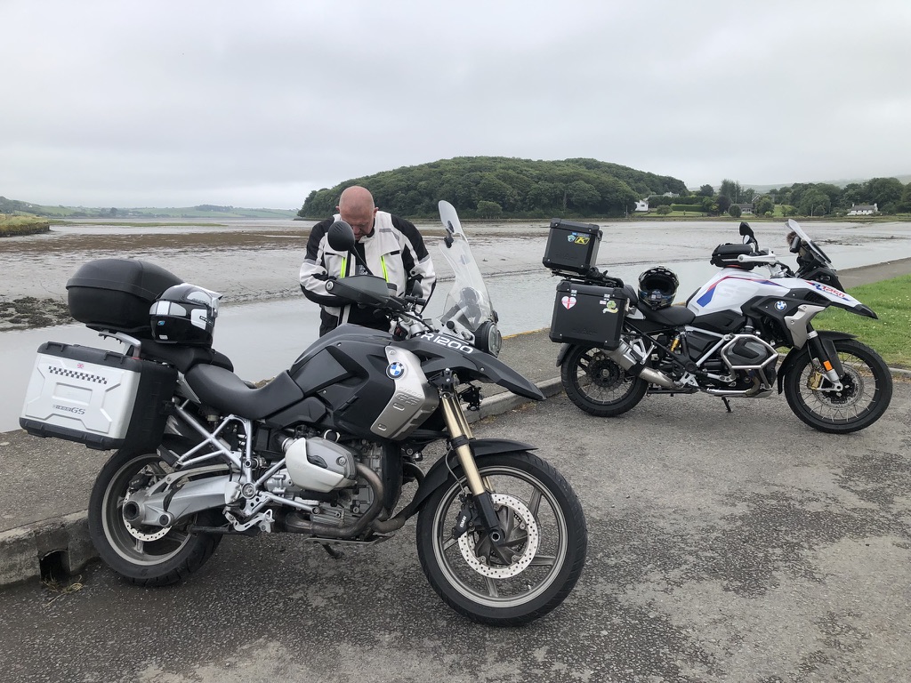
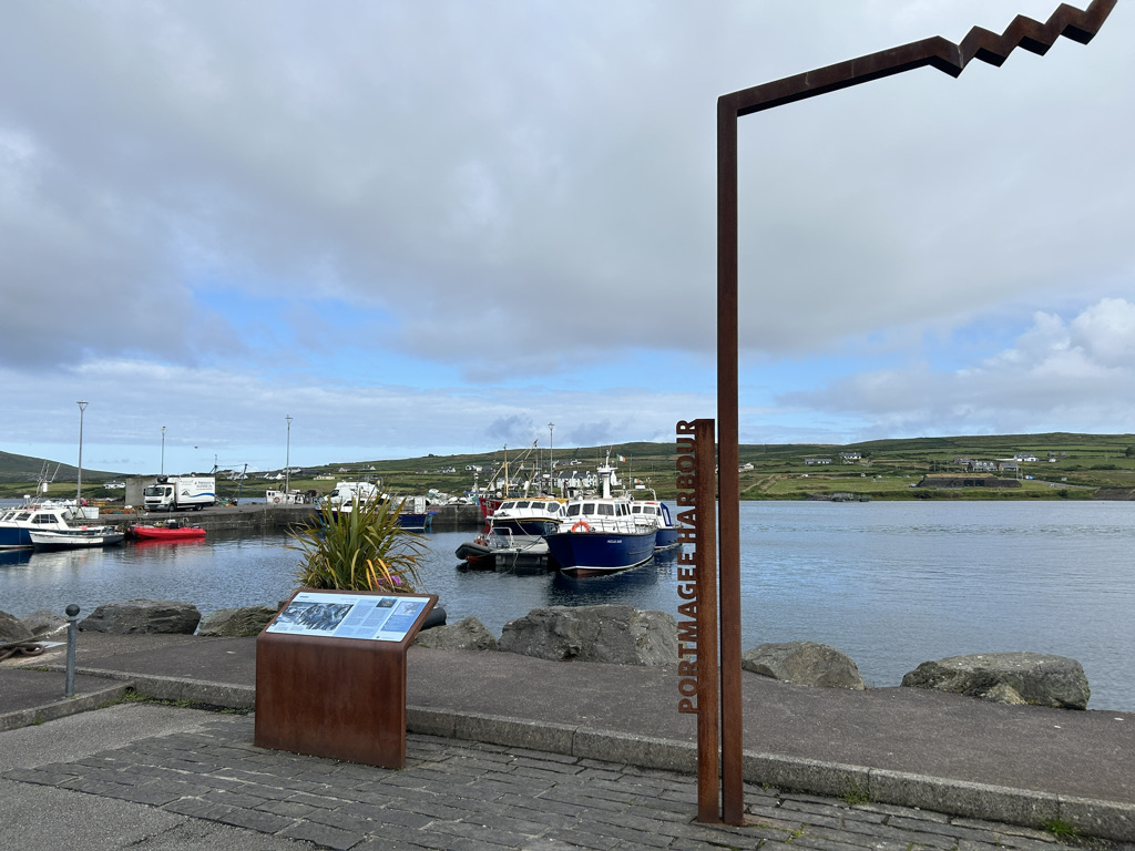
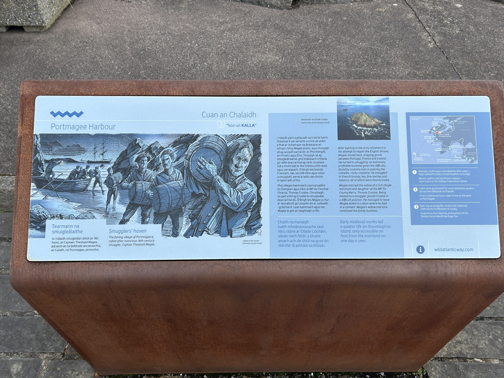
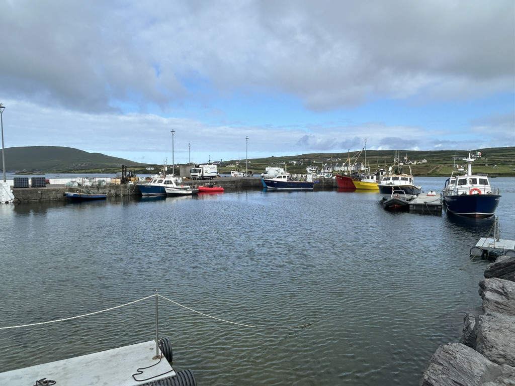
We packed up the bikes and set off on a cool and bright morning. Patchy clouds passed over. The rain stayed away. The hedges of fuscia spangled the green fields with red, wild flowers of orange, purple, red, mauve and white cast an artists palette of colour over the hillsides. The road snaked its way following the contours of the hills along the coast and dropped from height through hairpin bends down into Port Magee.  It is a small port town lying in the waterway between Valentia Island and the mainland. It offers the traveller all they need from supplies to cafes to points of interest.

Valentia Island joins the mainland by a causeway. Port Magee sits on the south side.

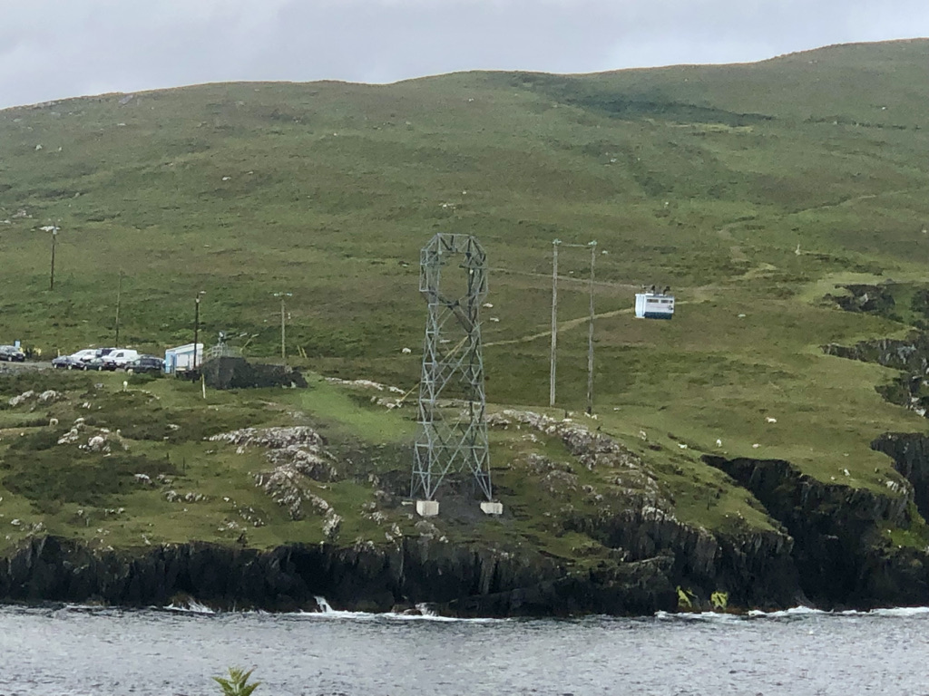
We stopped for a break in the town and to take in the views. It is a busy little place. Boats take day trippers over to the island of Skellig Michael if they can brave the sea conditions whilst others take fishermen out to try their luck with a rod and reel. 


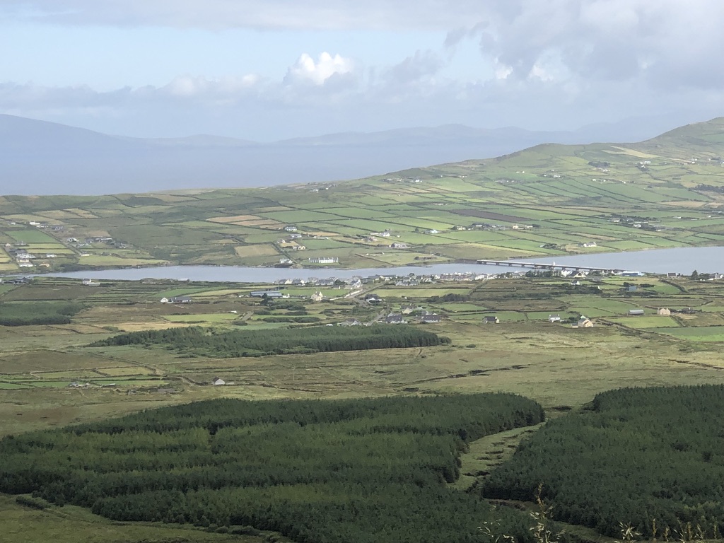
We crossed over to Valencia Island by the causeway and turned right to run along the southern coast to Knightstown. A small settlement on the eastern tip of the island, it is one end of the 6 minute ferry run that connects the island back to the mainland.

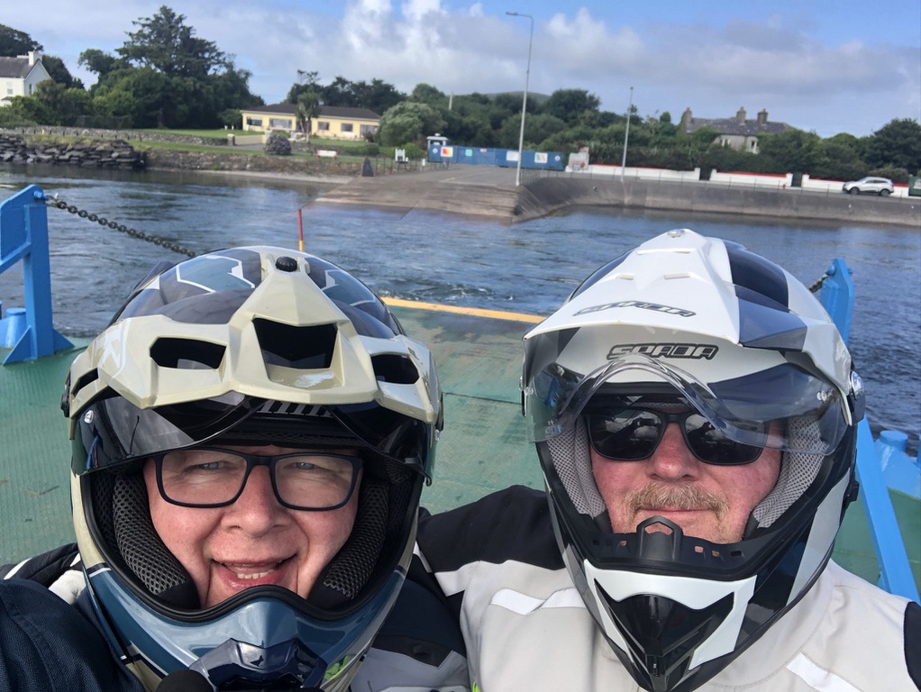
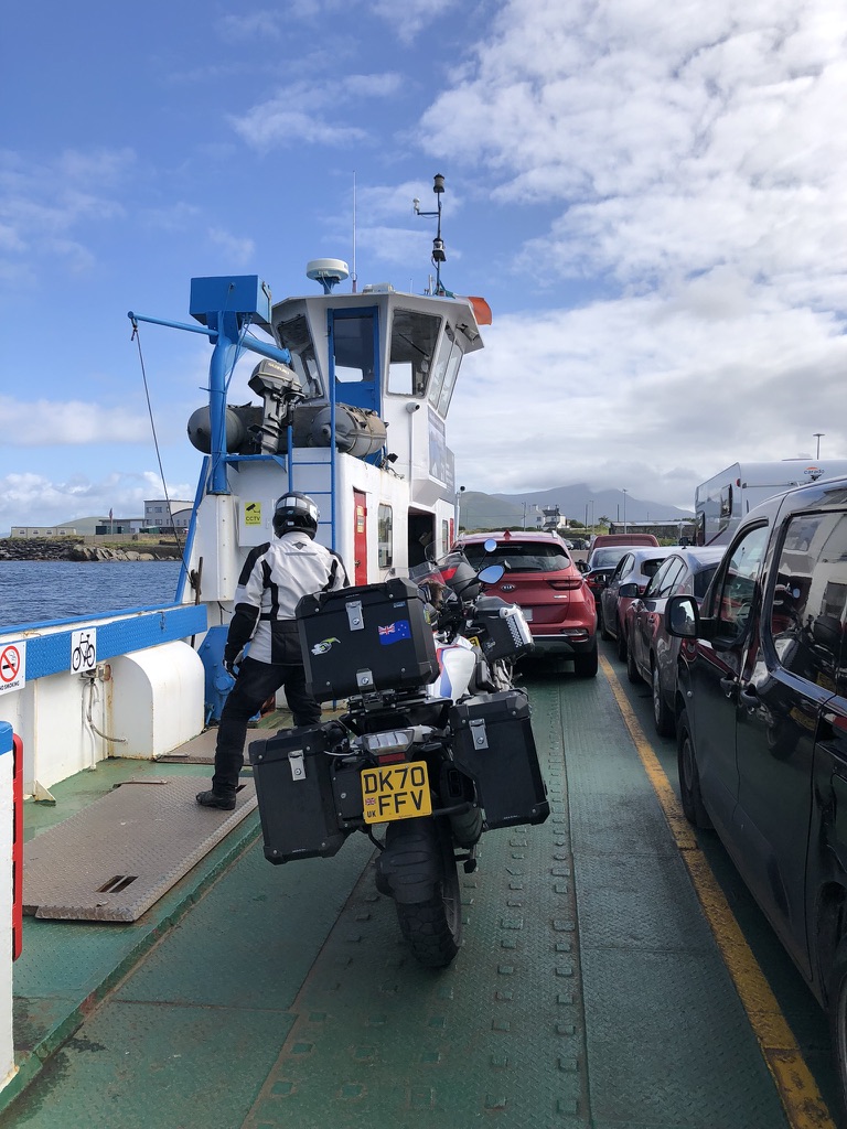
By the time we got on the ferry and took a few photos it was time to get going again.

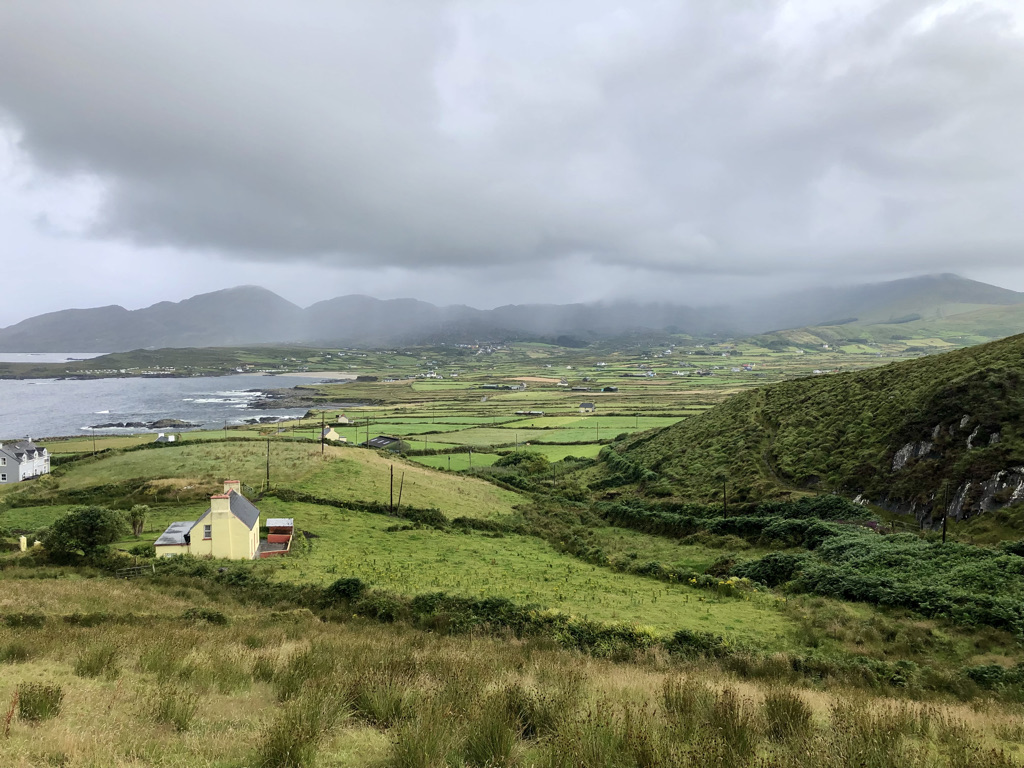
Just after the town of Cahersiveen we turned off the usual tourist route to take the road less travelled and climbed once again up into the hills that form the spine of the Kerry Peninsular to the small town of Glencar. It nestles among the green valleys. Blink and you miss it. The colours of the wild flowers are no less vibrant up here. Probably more so against the lush greens of the grass and brackens. The road skirts the northern fringes of Lough Leane before turning sharply left to rejoin the tourist road in the rather ordinary looking town of Milltown.

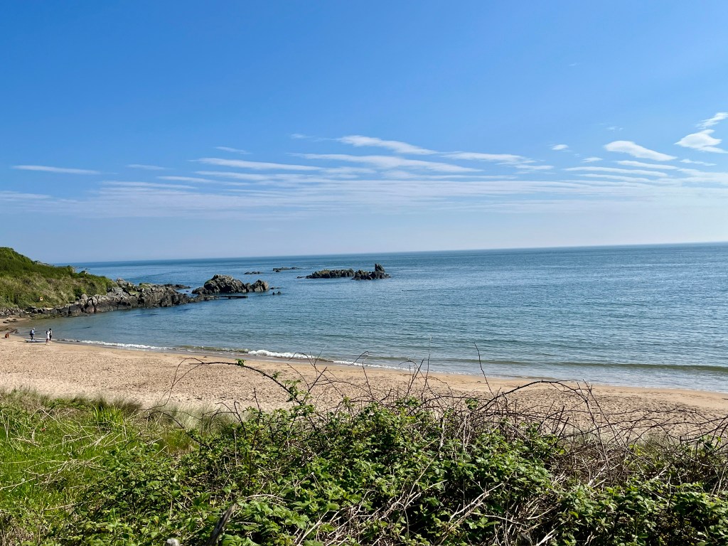
At Castlemaine we turn left to join the Dingle Peninsular road west. The weekend traffic is much heavier now. This is clearly a popular road. We pass a heavily populated beach at Inch. A magnet for beach lovers, the car park is stuffed full and tents have been erected willy nilly. We pushed on into Dingle. It too was heaving with people. Too many. It was not pleasant. Coach loads of people had been bussed in. It was impossible to find somewhere to sit.

Last year I brought my ship to Dingle and was inspired to travel the Wild Atlantic Way by one of the travel reps who visited us. I tried to find her in the tourist office to say well here I am doing it but she was not on duty. I left her a wee note to say thank you.

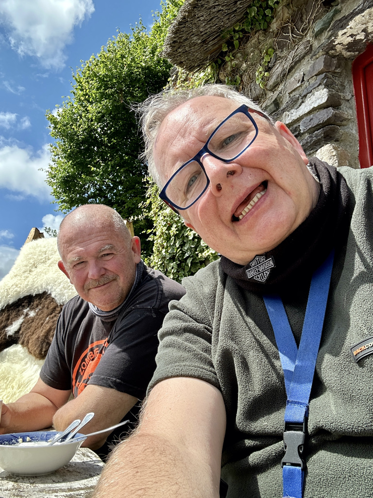
Tomorrow will be a rest day in Dingle. Time to give the bikes a once over, ourselves a bit of rest and a catch up with the wider world. We decided to go back into town hoping the day visitors had all left. Hurrah. They had. The day was rounded off in a local watering hole recommended by our hosts at the Duinin House B+B.

Day 3. Castletownbere to Cloon

Yup. I have no idea where Cloon is either but here we are. Lets start at the days dawning.

The sun eased its way above the horizon to be veiled by clouds. The clouds parted. Briefly. The sun continued its valiant effort to bring warmth to this part of Ireland. The jury is out on its success.

Its gallant attempts did not go unnoticed by my good self. “OOO Andy, Blue skies”. Zero response from my colleague in duvet land in his bed. Nothing. Oh well. It was only 5:40 in the morning. The weather looked good to start with.

We got up, showered and ate a hearty breakfast. We started packing the bikes up and the only black cloud on the entire west coast of Ireland moved over and dropped its contents on us. Clearly we have been praying to the wrong God.

Slightly moist now we set off on the days ride.

The road continues in a SW direction. Sometimes rough and ready and sometimes even worse than that but always fabulous on a motorcycle. 


We stopped briefly at the carpark where the cable car to Dursey Island leaves should you choose to be transported in what looks like a caravan suspended above the sea on wires. Not for us. We chose to take a selfie in the rain instead.


Retracing our steps and in what can only be described as a chance encounter in a lay-by we came across a cairn attesting to a feat of amazing seamanship. Blink and you would have missed it. A photo was taken. 


On On!! We followed the tourist route of the Beara Ring. For tourist route read farm track. In many places it was a single track road with eye height bracken obscuring everything. Grass grew down the middle of the road. The bracken obscured Camper vans driven by loons who thought that 60 km/hr was a safe speed coming the other way. It beggars belief why people drive faster than the distance they can stop in. Anyway. We continued on to a small cafe in Eyeries where a coffee and a slab of carrot and walnut cake in warmth and shelter alleviated the rising damp that had by now found its way past ankle height, above the knees, above even the trouser area into the midriff where the bottom of my shirt got wet. We needed to dry out. We went from wet to damp to slightly moist in around 45 minutes.

We continued on. Stopping now and then to take in the vistas and have a break the kilometres passed.

We turned off to take the Healy Pass road. If there is one road that simply must be ridden on a motorcycle then this is it. Twists, hairpin bends, a climb into a mountain pass and a descent to boot had us both grinning.

We stopped at the top to take some photos. Whilst I was snapping away Andy took a tumble behind me. He slipped on a rock. I turned and he was lying on the ground. I ran over and did what all good friends would do in such a dire situation. I roared with laughter. Called him various unpleasant names. He took a photo of me laughing from his prone position. He has a little bruise to show for it. I helped him up. I had to. Who else was going to pour my gin and tonic later in the day?

We moved on.

Back to Glengariff and turn north into the Caha Pass. A brief stop for a coffee break at Molly Gallivans Emporium.

We dropped down into Kenmare township for lunch. A superb bowl of Seafood chowder. Rich, tasty and a boon to the weary and now getting dry biker.

The final leg of our journey took us onto the southern part of the Ring of Kerry. It is busy. Tourist coaches rattle along at a fair pace. Traffic is busy. But then again it is promoted as a premier tourist route. For me, the Beara Ring is much more rustic, more beautiful and less trodden. 


We arrived at our stop for the night. The Old School House in Cloon. Quirky, well lived in, an owner who keeps bees, a little dog that greets you. Time to rid ourselves of the last vestiges of the days showers, relax, recharge self and various gizmos batteries and write home. 140 miles of smiling, cussing, oh wowing and sheer unadulterated motorcycling pleasure. 

Day 1. Exploring the Wild Atlantic Way in Unpredictable Weather. Rosslare to Clonakilty.

It rained on the way from home to the ferry in Fishguard. But, once the ferry had sailed for Ireland, the weather cleared and we enjoyed a wonderful crossing.

Until we got to Rosslare when the rain came once again. I had left the UK with a stinker cold caught on the airplane home from Tokyo. Just my luck. So having left the ferry we popped into the local supermarket to stock up on anti cold medicines. I felt dreadful. The next day dawned.

It was still raining. The major decision was whether to put on the wet weather over trousers and coat. You would think that it was an easy decision. However, if you do wear it you boil from within getting equally moist from perspiration. If you don’t wear it you get wet from the rain. Either way you are doomed. We put it on. We boiled.

The first part of the journey was an easy run. We bypassed Waterford and Cork on fairly fast roads. These roads lead to Kinsale, which is the official start of the Wild Atlantic Way. Lots of big trucks on the road kicked up spray reducing visibility quite a lot at times. Progress slowed.


We briefly stopped in the small seaside township of Dungarvan. We needed to get some more meds to try and keep me alive. Popping into the local pharmacy the first thing you notice is a barista coffee station. Never seen one of those in a pharmacy before. The people in the shop were fantastic. The pharmacist sorted me out with some cough linctus and offered us a coffee! Turns out he fitted the machine for his staff as they all love coffee. How cool is that. We both had a coffee. He would not take any money. So, I put some Euros in a lifeboat donation box on the counter. What is very clear is that if you make the effort to chat you are rewarded with warmth and kindness.

Kinsale was very busy. I guess being the holiday season it was to be expected. But the number of tourist coaches was probably more than the small town can handle. We dropped into the tourist information office to get a map. We did not hang around long and headed for the Lusitania signal tower on the Old Head of Kinsale.

We got there and could not see a thing for thick fog.

We ended a thoroughly wet day with a brief stop in Timoleague. It is a delightful spot. Then we headed for our night’s stay at Joans Bed and Breakfast just south of Clonakilty.

We were met with a big pot of tea and a very warm Irish Welcome. Now we have to dry out our gear ready for tomorrow. The forecast is better so hopefully we can continue in better weather. Just need to get rid of this awful cold.

Despite feeling dreadful and the unfriendly weather I am still delighted to be doing this. There is so much more to come. 179 miles under the belt. A mugshot to finish.

Day 17, Culdaff Beach to Golden Sands holiday park.

Today dawned bright, calm and warm. It had all the makings of a really lovely day for our last on the Wild Atlantic Way. It would be only 70 miles from start of day to the rest place for the evening. I wanted to be on the County Antrim coast to set us up to visit the Giants Causeway the following day. Under a bright blue sky we set off.

As I was to turn right out of the beach carpark I spied this right opposite and thought it was another gem of a find and simply had to be researched for more information. Alas I could find nothing so if there are any sleuths out there I would be interested to know. Not least why an RAF pilot is flying a Royal Navy aircraft.

On we went following green and pleasant lanes to the west coast of Lough Foyle. I wanted to see the lighthouse at Inishowen head. It flashes Fl(2) WRG 10s. This means that it is a sectored light having a white sector, a green sector and a red sector and flashes twice in 10 seconds. The fact it is sectored means that is covering a danger. To be safe and clear of the danger you must stay in the white sector as you approach the Lough. If you see a green light you are too far to starboard and need to come to port to enter the white sector. If you see red you are too far to port and need to alter your course to starboard to enter the white sector. It is likely guiding ships into Lough Foyle passed some outlying rocks or sandbanks. Here is the mariners chart showing the light house circled and the three coloured sectors. The red is indeed covering outlying sandbanks whilst the green helps clear the headland. By keeping the light dead ahead and white ships can safely enter the Lough.

But as I have mentioned previously it is what you find that you did not know about that brings these places to life.Next to the lighthouse there was this information board.

The board talks of Colmcille. You may know him better as Columba. For it was from here that Columba sailed to Scotland and the Island of Iona to take Christianity to the Picts. I have been to his monastery on Iona but I always thought he left Ireland from closer to Rathlin island further east along the coast. If interested you can read more here.

We then took the road south along the Lough to the delightful little town on the waters edge of Greencastle to take on supplies before continuing south to the larger town of Moville. Still modest in size, Moville is a quintessential seaside town. It was a very pleasant little place. A notice board in the town states “Moville was a point of embarkation for travellers, especially emigrants, to Canada and the United States of America. In the late 19th century, steamships of the Glasgow-based Anchor Line and Allan Line made port at Moville while en route to and from New York, while just after the turn of the 20th century, the Canadian Pacific Line also established a terminal at the port as part of their service connecting Liverpool and Montreal for Canadian-bound Irish immigrants.”

Another feature on interest was an arrow carved in a stone in a layby that we stopped briefly in, in yet another blink and you miss it item of interest. I can imagine that the sealed road was a cart track when the surveyors stone was inlaid into the wall.

We continued on to the border with Northern Ireland and the end of the Wild Atlantic Way. The way ends right on the border in the rather nondescript town of Muff.

In the blink of an eye the road signs are in miles per hour instead of Kilometres and the phone numbers on businesses are now familiar UK format. There is no formal border crossing, no duty free, nothing. The road changes from the R238 on the Irish side to the A2 on the Northern Irish side. It is the same road. All the formalities we went through in Rosslare with the dog and the expense and the visit to Irish customs simply don’t exist here. We could simply have crossed the border and back with zero checks at all. Weird!

We passed through the large town of Derry/Londonderry. The name depends on who you talk to. The first road sign for Londonderry had the London spray painted over.

The adventure is not over yet. We will now pass along the Antrim Coast tourist route to get to our ferry in Belfast. We still have another 11 days with the van so we will cross to Scotland as there is still unfinished business there to attend to.

Our campsite tonight is the Golden Sands campsite in Benone. It is huge and busy and full of families enjoying the weather parked on top of each other. It is not our cup of tea at all but it was all I could find that had space available on a Saturday night. The glorious weather has brought everybody out for the weekend. Give me Sleepy Hollows campsite with its 10 pitches over this any day. There must be close to 300 caravans, motorhomes and large caravan homes here. But it will do for a night.

Todays distance: 70 miles.

Total distance: 1544 miles.