Top Tips for Exploring the Wild Atlantic Way on a Motorcycle

I said that once we had returned to home I would write a few words about the trip. What we liked. What we did not and the do’s and don’ts.

A celebratory cinnamon bun having completed the trip.

There are plenty of books and maps to help in planning the Wild Atlantic Way. It’s best to visit any Irish Tourist office once you are in Ireland. Grab a handful of the free ones there. The entire route from Kinsale in the far south to Muff near the Northern Ireland border is very well signposted. Most of the tourist offices have maps divided into various regions. Examples include County Cork and the Ring of Kerry, and so forth.

I checked out various motorcycle forums, YouTube videos and general internet searches. There is so much information out there. Probably too much if I am honest. I included “must-dos” in the various forums. I added these roads where they fit into the basic route I had already planned.

I used the Calimoto app for planning the trip. It was easy to use and also the highlights are readily obvious. I downloaded the maps to use offline. I strongly recommend you do that. I did use Waze and google and Apple Maps for some background. Google Earth was also good to see what some of the very minor roads were like. Most places had cellphone signal. Only a bar or two was enough if near the towns and villages. But sometimes there was no signal at all. The downloaded maps became very useful then.

We used Stena Line ferries to and from Fishguard. They provided padded lashing straps for the bikes. There were no challenges using the ferry. The crew lashed the bikes. Its worth paying for access to the premium lounge. Plenty of food and drinks to stock up with.

We used bed and breakfasts where possible. When none were available we used hotels. I prefer the B+Bs as I like to meet the local landladies for a chat. Booking.com and AirBnB were handy. I did not find any decent Irish books or websites to find good B+Bs. There were so many B+Bs we passed that were not listed anywhere. I did ask one landlady why there is no decent directory of accommodation. She said the normal is just to rock up and knock on the door. This is to see if there were any vacancies. That approach isn’t helpful in some places. There were very few options, and there was no guarantee of a bed for the night. Do watch for this. Prices ranged from 80 Euros for the night to over 300 in some of the hotels. The standard was very good. There were a few quirky places and I loved them. Many of the pubs had accommodation but they tended to be noisy and no off street parking for the bikes.

Petrol (gas) stations were never a problem to find. Even the remotest places had a pump or two. Prices were cheaper in the bigger towns which is to be expected. We tended to fill up in the bigger places and top up if needed when remote.

So here are my do’s and don’ts.

Do’s

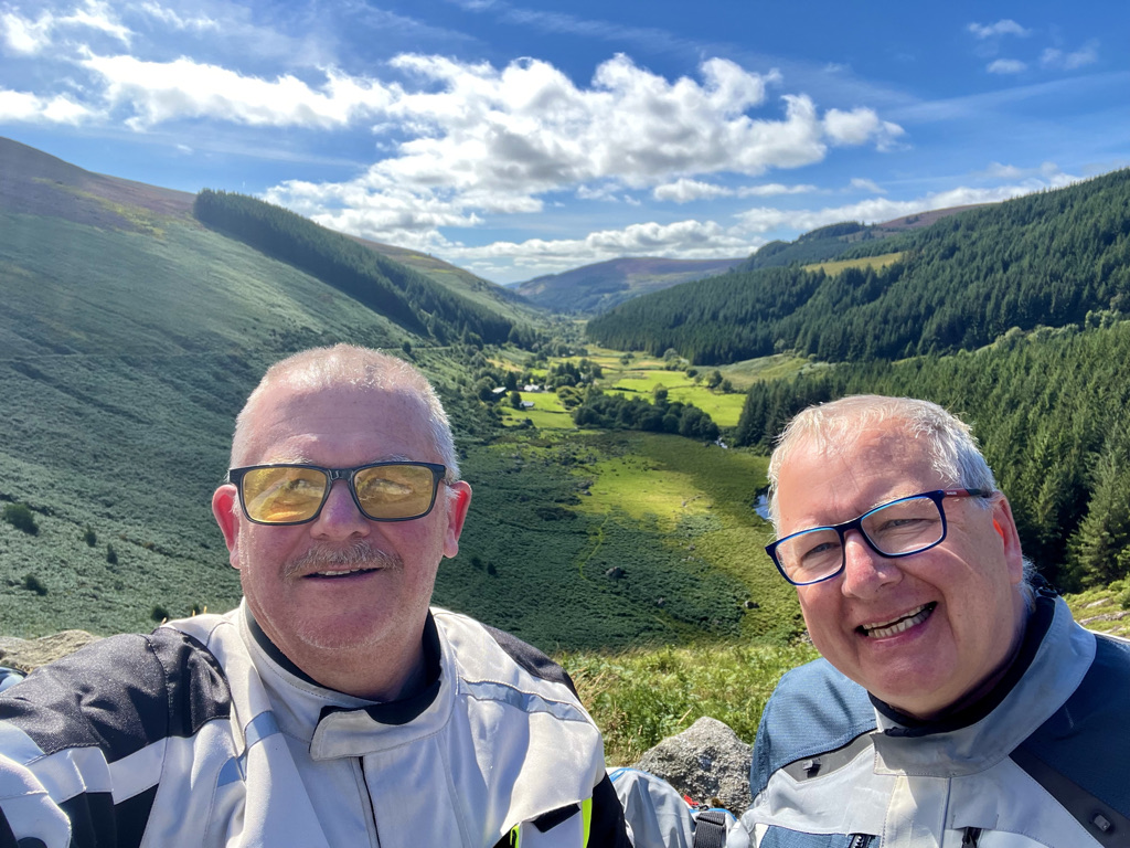
Whatever time you allow to do a particular leg then double it. Google maps often said 3 hours and it took 6. This is because unless you just want to get around as quick as possible then you simply have to stop. Then you get caught having a chat to a local. And oh how they can talk and I loved it. Often, sitting and having a coffee invited men to come and say hello. They would ask what we were doing and give tips on their best roads in the area. An hour was gone in no time! Then there are the photo stops and info boards at points of interest to read. Our day usually started around 9 am on the bikes. We would stop for lunch or coffee. We arrived at the B+B around 4 or 5 pm. Earlier if the weather was poor. That gave us time to have a hot shower and start to get wet stuff dried if possible. We tended to have a good lunch. In the evening, we would have a snack like an instant porridge pot. The B+Bs did not supply dinner but all had a kettle to boil water. Many were remote with nowhere in the area to go for food. Make sure to pack a box of porridge sachets or freeze dried soup. Keep them in your luggage for the evening if you need food. You can read the blog for an idea of mileage and the stops we made.

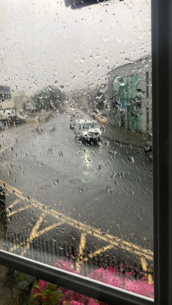
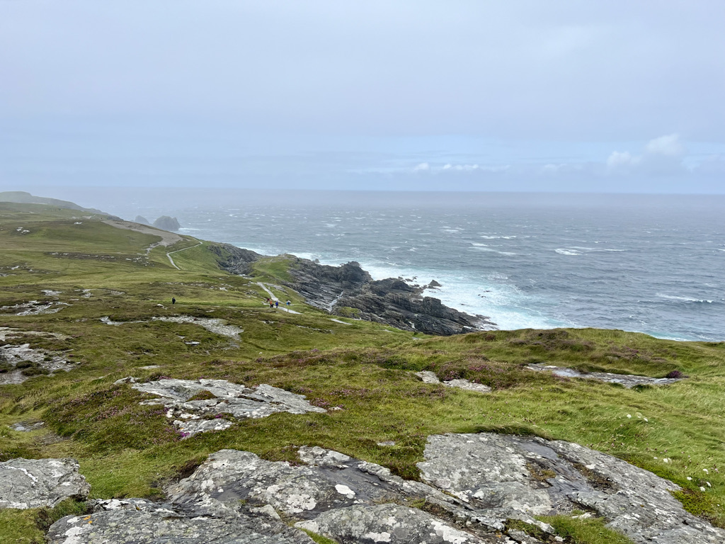
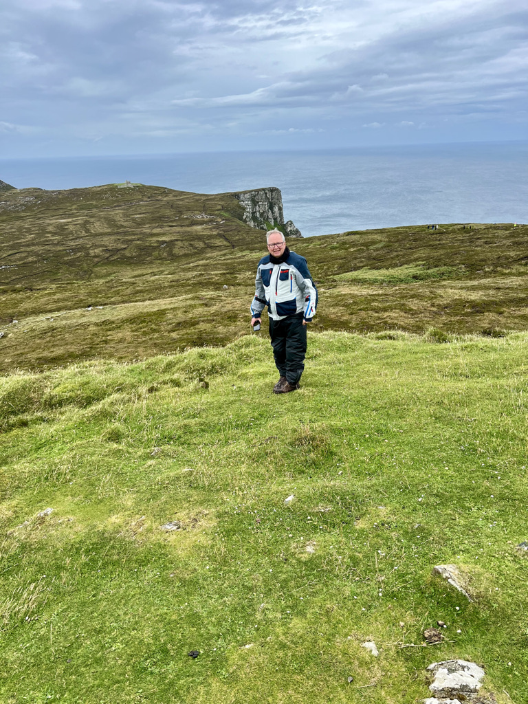
Do pack your bike for all weathers. It is called the Emerald Isle for a very good reason. You can get all seasons in one day. We were sat in the pouring rain one day miserable as hell. A local said don’t worry, summer will be along in 20 minutes. Sure enough it was. The wind on some of the west coast headlands can be significant. It can occur on peninsula’s at any time of the year.

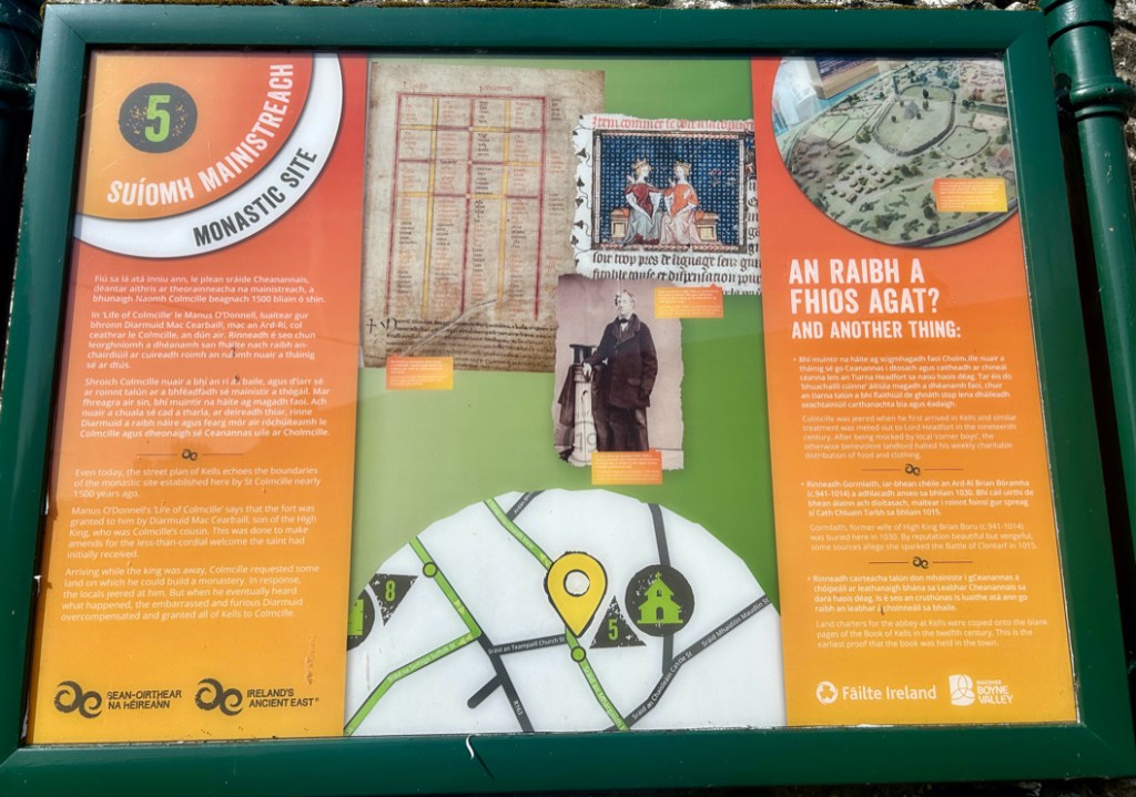
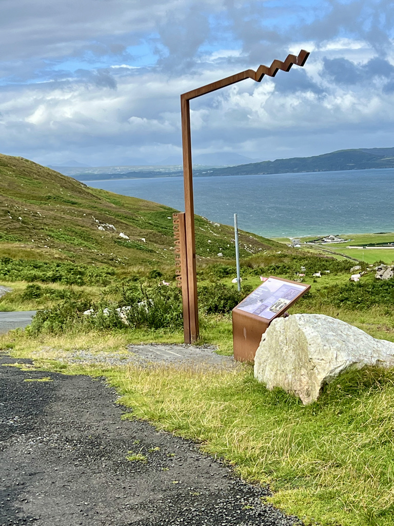
Do avoid the obvious tourist traps if you travel in high season. We arrived at the Cliffs of Moher and they wanted 15 euros just to park. It was full of buses. We moved on. Slieve League in Donegal is better and less busy.

Do be familiar with any satnavs or apps that you use. We came across bikers touring on hire bikes. They had a preprogrammed route in a satnav. The bikers were struggling to use it because they were not familiar with it. It is all well and good when things are going right. But, if you leave the route or change it, they struggle.

Do I really need to tell you to make sure you and your bike are in tip top condition before you set out? Do I? This can be a rough ride in places and is tough going on any machine. The suspension will get tested. The tyres will get a beating. You will be challenged mentally and physically. Whilst you don’t need to be Mr Universe do make sure you are in good health before setting out. I make no apology for mentioning again the remote nature of some parts of the route.

We packed 10 days worth of undies and socks and around 5 T shirts. I included a pair of quick dry fishing shorts. I also added two decent polo shirts and a hoodie. Additionally, I packed a pair of chinos should we need semi decent clothing to eat out. Besides my boots, I packed a pair of slip on deck shoes. They are for wandering around the B+Bs and the towns in the evenings. Otherwise the day was spent in bike gear. This is not a fashion show. That gave us time to get into the trip before we needed to find a laundry. You can always get t shirts in pubs you visit and in the local supermarkets if you really need to. We got one from a great pub in Dingle. Well it’s a must is it not?

Do plan in a days rest now and then. We took two days off in a 22 day ride. One in Dingle and another in Clifden. Dingle is a fabulous place even if it is very touristy. Clifden has a great laundry service in the town. It also offers good eat and drink venues. It was absolutely worth it to get laundry done, rest, and check the bikes over. It was also great just to take a breather. This is quite stressful riding.

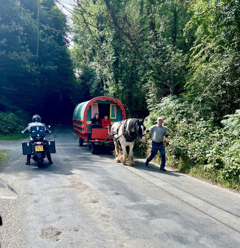
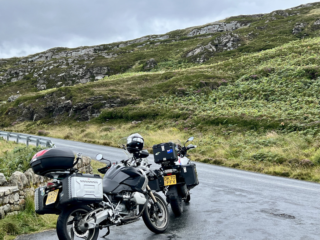
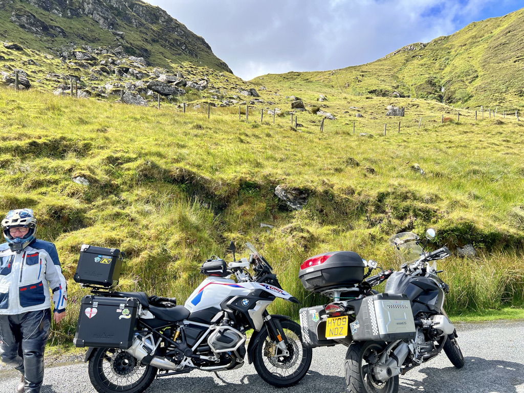
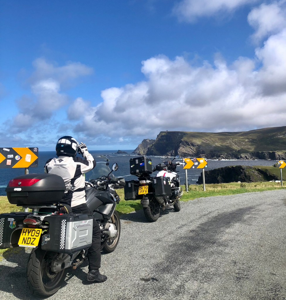
Irish roads can be interesting. You can be traveling over a brand new piece of road. The next minute, it suddenly reverts to teeth shaking and gravelly mush. Some of them are very narrow with stone walls close by or high hedges. Some can be rather rough in places. Tractors from the 1950s and 60s were plentiful bumbling along just around the next blind corner. You have been warned. The locals in cars and trucks don’t slow down much. Watch your lines through the curves. We encountered many cars crossing the center line on bends. Also beware the tourist coaches who really don’t care about anyone else. Again we had many encounters that left us scratching our heads.

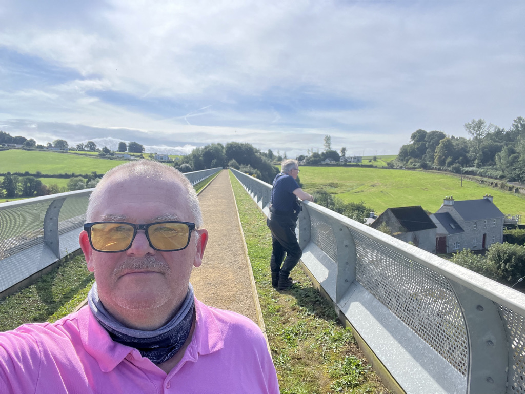
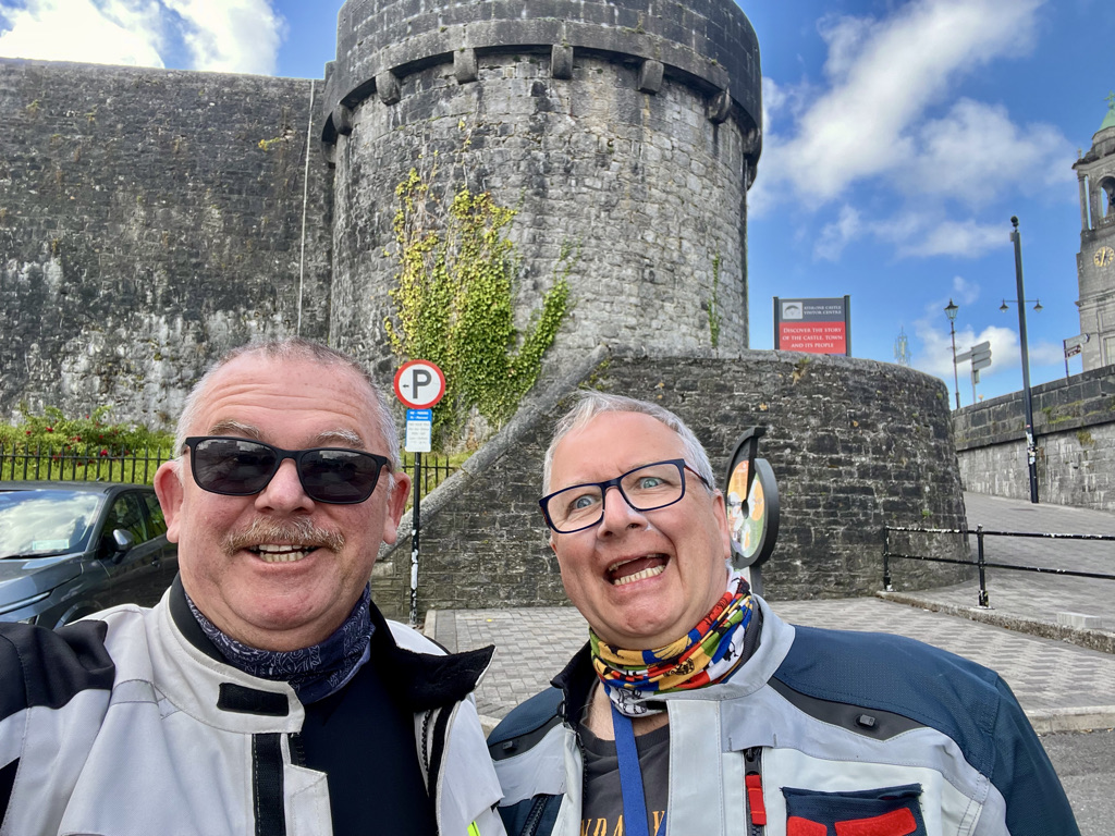
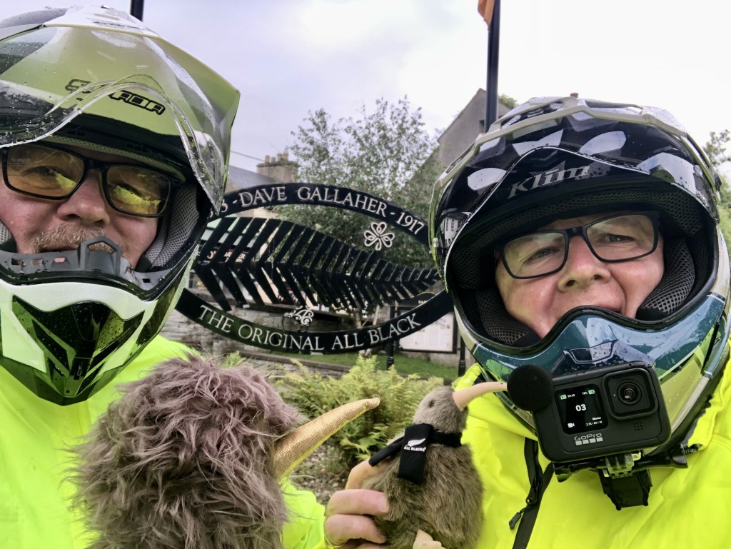
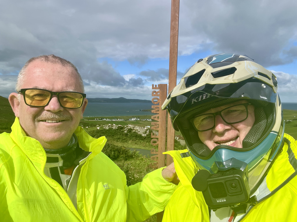
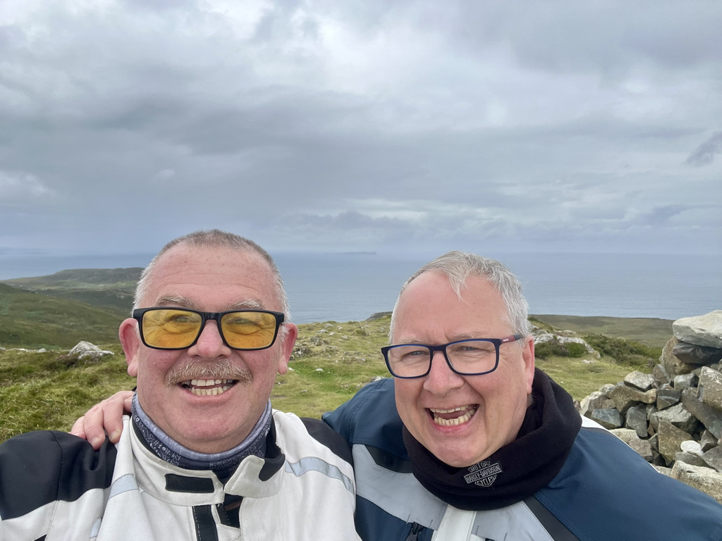
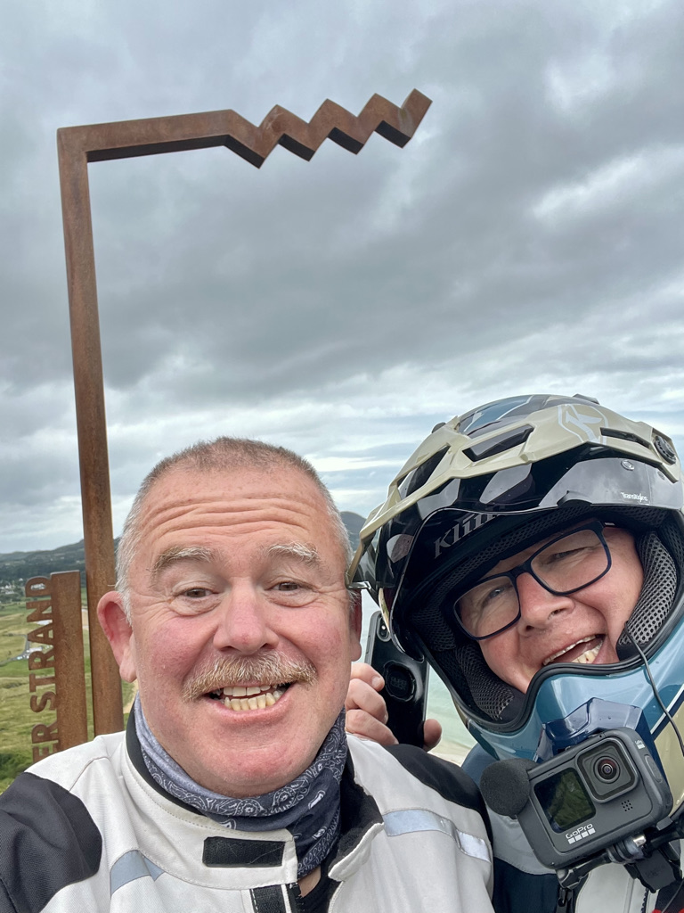
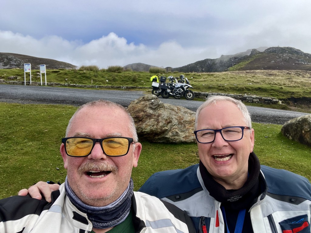
Whenever we saw other motorbikes we always went and said hello. In the far west, we saw very few. We never missed a chance to catch up with a fellow biker.

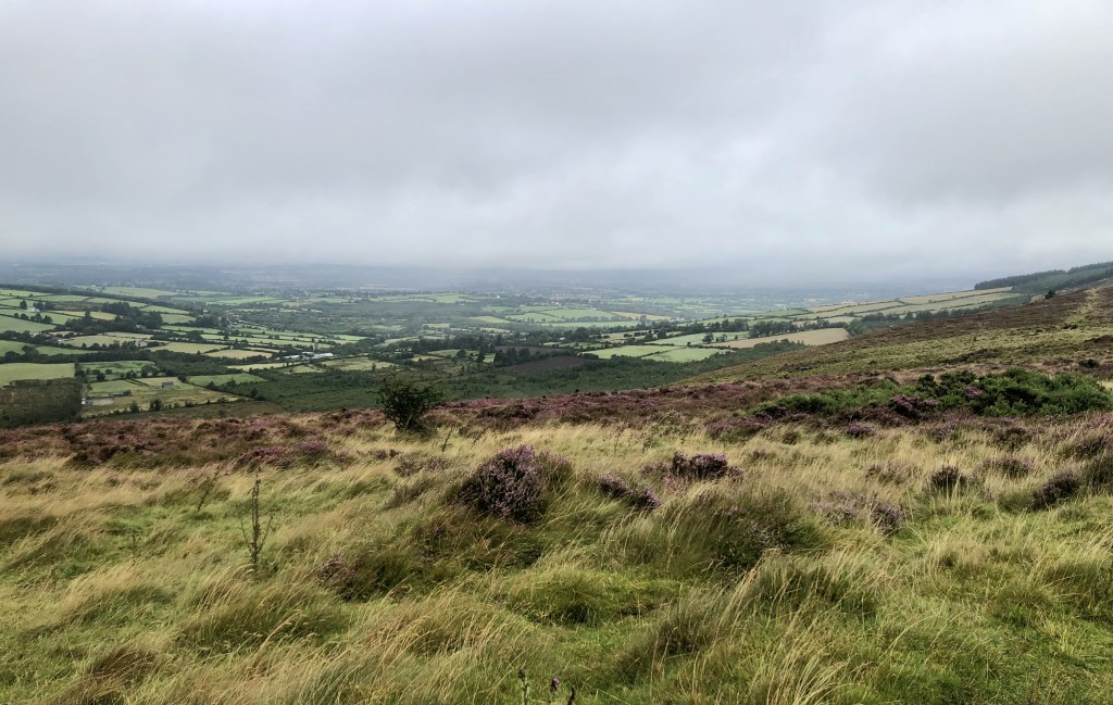
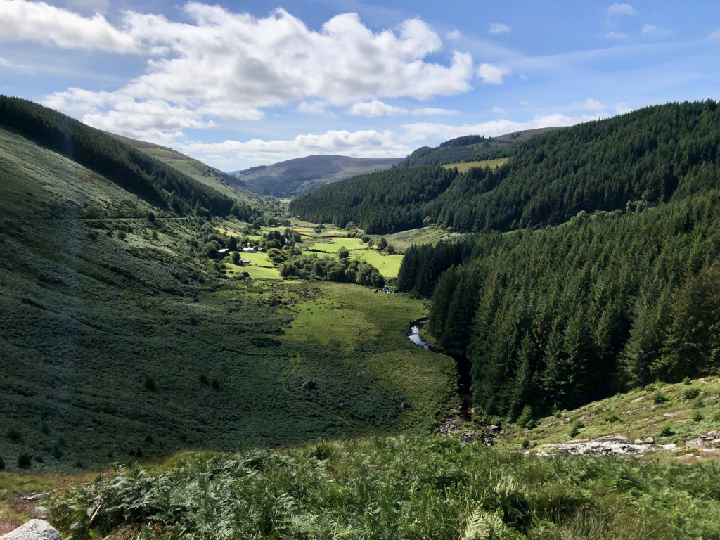
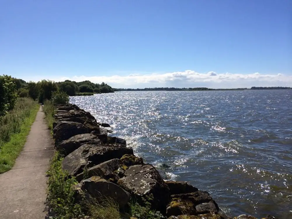
Do be choosy about points of interest you really want to see when planning your route. Visiting every single location listed in the books is impossible. You would need at least 6 to 8 weeks to spare. I stuck to places of cultural and historical interest primarily. So many fabulous beaches are along the way that I gave up after a while. There were too many viewpoints overlooking a beach. Locals call them strands. After the first week, we only stopped at the really spectacular ones.

Do be sensible with the booze. Nobody likes a drunk, especially a lairy biker. The locals welcomed us in all the pubs we went into. I have become very fond of a cold Guinness. Not once did we come across anybody who had too much in the lovely pubs out west. Don’t be the first and spoil it for the rest who will come after you. The trip for me was really all about the people we met. The scenery was quite good too!

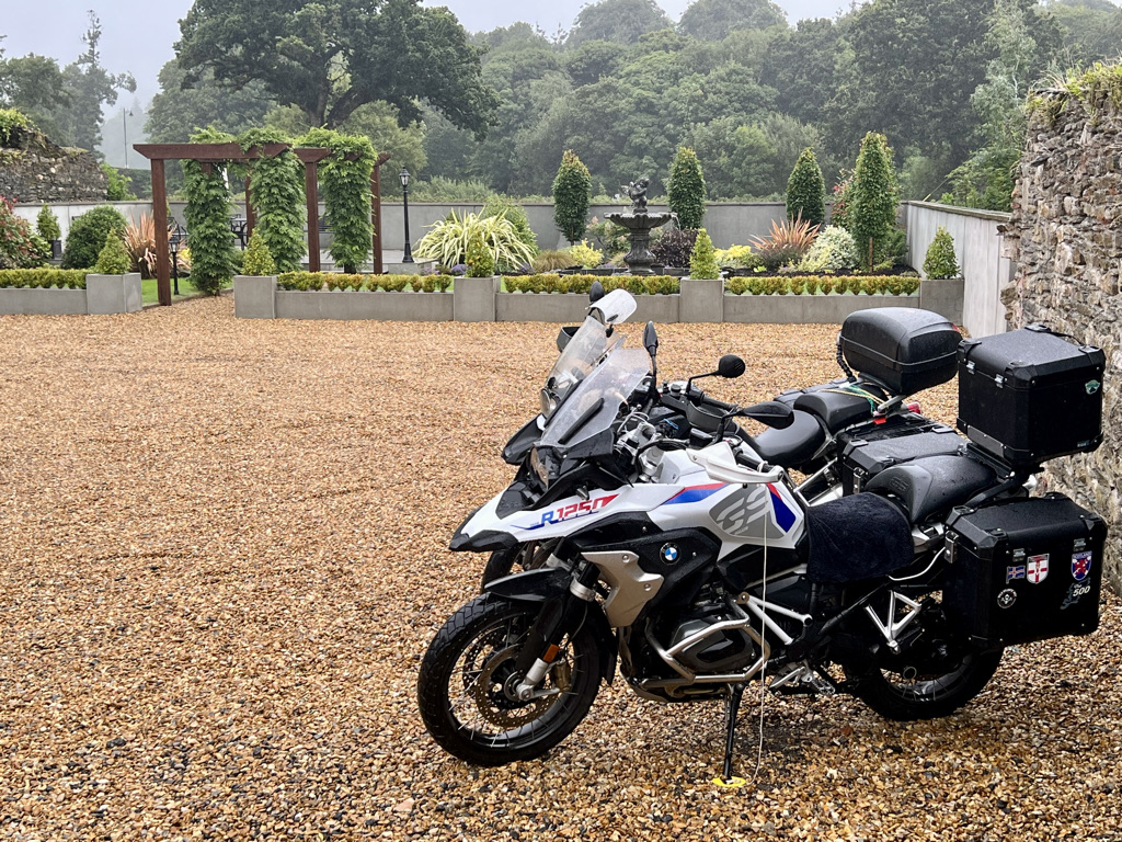
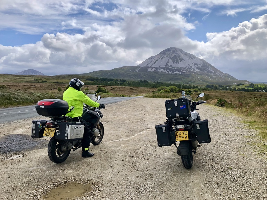
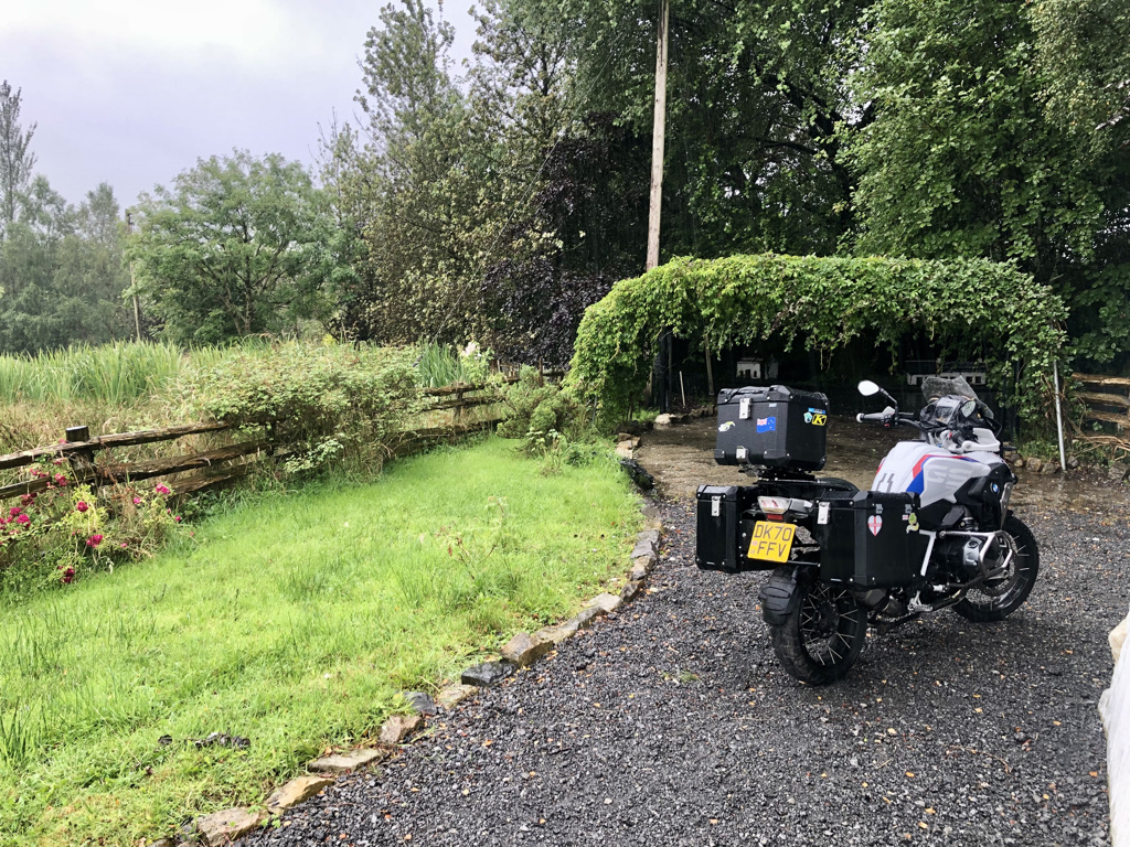
Do take a basic tool kit with you. Duct tape and cable ties are bikers friends. A puncture repair kit. Once you leave Cork and head west, you find fewer motorcycle shops. In large parts of the country, they reduce to zero. We were on BMW’s. There are two dealers on the entire Ireland so come prepared. Get good travel insurance that covers bikers. If possible, join the AA or RAC or similar for help if needed.

Do ride with a companion if you can. Some parts of the route are very remote. If anything untoward happens, having a mate along will really help. There were always cars and other travelers around but sometimes we did not see another soul for hours. Anyways, this is an adventure that really is best shared with a mate.

Another tip is to take two bread bags with you. You know the plastic bags that bread comes in. They are great if your boots get soaked and you cant dry them before the next day. Put dry socks on, put your feet in a bag and put your boots on. Feet keep dry even in a soggy boot. Likewise for your hands. If it rains, cover each glove with a bag. This keeps your gloves dry if you don’t have waterproof mitts. I never tour without two bread bags in my jacket pockets.

Do have the what3words app on your phone. Godsend for giving someone your location in any event if you need assistance. Particularly in the remote parts of west Ireland. Its free so why wouldn’t you?

If you have time, do plan to come down the middle of Ireland. Whilst not as rugged as the west coast it is as beautiful. It is often bypassed. It should not be. It is wonderful.

Don’ts.

Don’t plan the trip to death. We often took a wrong turn. Sometimes, we decided to venture off route up a road because it looked like a good road to ride. The calimoto app like most will always recalculate and get you back to your destination eventually.

Don’t rush. If you want to zip around, this blog is not for you. It’s meant for those who wish to enjoy the journey and not just the destination.

Don’t pass up the opportunity to have a chat with the locals. I found a simple good morning how are you today ended up passing an hour. In the entire time we were in Ireland we encountered Mr Angry only once.

Don’t spend money in the large supermarket chains unless you really must. Support the local businesses. There are loads of little local Supervalu supermarkets dotted about. They will thank you for it. We used local cafes and bakeries. They were really good. Besides, it is another opportunity to chat to the locals.

Don’t spend money on fancy visor cleaners. Go into your local specsavers or similar and pick up some spectacle cleaner. Much cheaper (sometimes free if you are a customer) and just as good. You will need it. I had anything from bird poo to flies to cow poo flung up at me. This is rural Ireland you are traveling through.

Don’t worry about the security of your bike. The B+Bs we used were mostly so remote they were totally safe. In the towns we stayed in the owners let us use a backyard or shed to put them in. One hotel had a secure car park. I took my big chain with me and used it once. Just take the usual precautions. Most people that were near the bikes just wanted to look at them. A couple of young kids had their photos taken on them. I never had any big concerns about security.

Don’t be tempted to have the full Irish breakfast every day. No really. Don’t. They are huge and totally awesome. Still, at 10,000 calories a pop, the rest of us mere mortals will be dead after a week. Unless you are one of those lucky people that can eat like that and live, avoid overindulgence. We had one a week. On a Sunday morning. Totally fabulous but makes the mornings ride a little uncomfortable with half of a small countries harvest in your stomach. Be warned. Public toilets were very scarce. Hence the use of cafes. They all had a toilet. Being of a certain age the availability of toilets is a consideration. You won’t read these top tips in any other blog!

In conclusion:

I am sure there is more I can write. Would I do it all again. You bet. I did the route in a motorhome with my wife and our dog and again on the bike. When I got back to Rosslare I wanted to turn around and go back again.

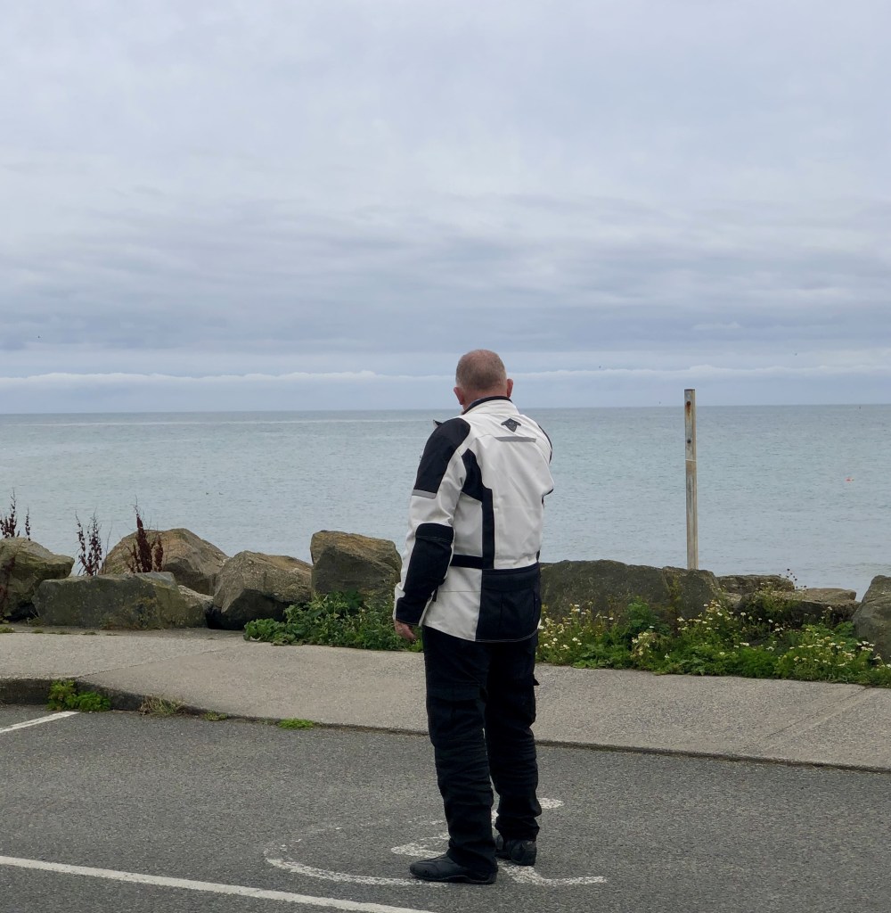
Ireland is awesome. It is everything you would expect it to be and so very much more. But for me it was all about the people. Like at home in New Zealand the people are genuinely interested in you. They are warm and welcoming. There is a wonderful community feel which has been lost elsewhere. My goodness can they talk! Quite often it was me that started it with a simple hello can you help me and away you go. From garages, to supermarkets to cafes to simply sat by the bike checking my phone people came to chat. Old people, children, grannies, land ladies, farmers on tractors, you name it they came. I will admit that in the beginning, I was very wary. I was thinking, oh what do they want? What can they pinch? It was just general suspicion. That’s sad because that’s the norm in other parts of the world. My fears were very quickly alleviated after my first few encounters. I would move to West Ireland tomorrow!

People say they will do it some day. Some day is not a day of the week. Go do it. Life is no dress rehearsal and this needs to be on your bucket list.

I hope this was helpful. Get in touch if there is anything more I can help with if you are thinking of doing the Wild Atlantic Way and Ireland in general for yourself. Safe riding.

Day 21, Bunclody to Tagoat. Final Day Motorcycle Tour in Ireland: from The Woodend Wanderer

Bunclody is a pretty little place situated on the River Slaney. It also lies right on the border between Counties Wexford and Carlow. The 1798 rebellion features heavily in Bunclody’s history. Many motorcycle tourists don’t come this way too often I imagine which is a pity. It is off the well-trodden routes. It is worth a visit and lies at the foot of Mount Leinster, which we passed yesterday. I wish we had more time to explore more.

Not the most inspiring view out our window.

We woke up to persistent rain, as a frontal system was passing through, moving east. Curtains of drizzle blow across the landscape.

Our tour of Ireland started in the rain, and it looked like it would end the same way. Today was our final day. We felt quite sad, for the past 3 weeks have been simply superb. I will finish the blog with a summation page of feelings, emotions, do’s and don’ts. It will also include tips for anybody else that reads this and wants to do something similar.

After a hearty breakfast we bid farewell to the Meadowside B&B and our host Phyl. We donned the wet weather gear and set off north east. We crossed the river Clody. Then we turned southwest onto the L2026. 

The drizzle caused large plops of water to drip from the tree canopy above. The smell of the earthy woods and foliage was wonderful.

The road started to climb through pastures next the signs for the Leinster Way.

The wind now picked up as we approached the high ground. Cloud level is above us and we climb ever closer and disappear into it. Fog and mist are all around.

We are in glorious heather country again. Oh, how I love being up here. Yes, it is windy and wet and a little chilly. But the panoramas all around make up for that. The patchwork quilt of County Carlow spreads out around us. We pass a deer park information board in the mist. We see no deer. We do see a fox and plenty of sheep walking on the road.

As we descend on the L3005 down from the clouds and skirt the flanks of Slievebawn, suddenly blue skies unfold. The road dries. We dry. Huzzah!

Turning onto the L7045 we pass Killedmond. Bizarre name. We head for the small village of Borris and stop in a lay-by to remove the wet weather gear.

In a chance discovery, we see an enormous stone viaduct spread out before us. It needs exploring. Various notice boards describe it.

The Borris Railway viaduct is a truly impressive piece of railway heritage. You can walk over it where once the railway tracks were laid. Another example of finding hidden treasures if you wander off the track most trodden.

With less hindrance from wet weather gear we move on.

We pass the impossibly named village of Graiguenamanagh. We take the R703 and move along at a decent speed. We then cross the River Nore and enter Thomastown.

It is another pretty little place. Parking is a bit of an issue. We circle the one-way system twice and find a spot for the bikes. The Blackberry cafe hosts us for coffee. We have a slice of lemon cake and an almond tart. Both are scrumptious.

No really. Quality control only.

Duly refreshed we contuinue south on the R700. This is a fairly easy road to ride. Well surfaced and dry. Too many cars cross the centre white lines on the bends encroaching on our side of the road. Dont do that. You will kill a motorcyclist. We are on our guard all the time for this.

We enter the large town of New Ross by a bridge over the River Barrow.

Upon the river lies the Dunbrody.

She was a ship that carried emigrants aboard. Many as a result of the great potato famine of 1845. You can read more here. This page even has a searchable emigrant database.

We take the road south once more. The countryside changes to open farmland and then coastal reed lands. The uplands are for the sheep. The lowlands are for the cattle and arable crops. The fields are different shades of colour reflecting their use. There is evidence all around of the Normans. Church towers are square. We chance upon signs for the Norman Way. The smell of the sea is suddenly in the air. It is heady and wholesome.

Passing through Wellingtonbridge we stop and soak in the views.

We continue following country lanes rather than the main highways. Around every corner, interesting architecture presents itself.

We divert down to Kilmore Quay just for a look.

It is a busy holiday makers gathering spot. Ice cream sellers appear to be doing rather well. We stretch our legs and take a wander around.

Time to stand and stare.

We have to check in to our accommodation near Rosslare for our last night. So, we press on to Kilmore. We continue to Tomhaggard (got to love that name). Broadway is next (we were in Hollywood yesterday). Finally, we reach Tagoat. 

The enormity of what we have done has not sunk in yet. It will. In time.

My two kiwis and heather. My guardians on the road since day 1.

Today has been another fabulous day in the saddle. Ireland is the country that keeps on giving. If seeing is believing then I am a convert.

We have an early morning ferry home tomorrow morning. In a few days once I have gathered my thoughts I will do a final post. Until then farewell Ireland. You and your people are beguiling, enchanting, funny, witty, chatty, warm, and giving. I love you. I love you. I love you.

There will forever be a part of Ireland in our soul. Neither I or Andy will leave the Emerald Isle without leaving a part of us behind.

Day 20, Kilcullen to Bunclody. Exploring Wicklow Mountains: Motorcycle Tour with Breathtaking Views and Heartwarming Encounters

It was a restless night for both Andy and I.  It was a warm night. We left the window open to get some air. But, the traffic noise in the street outside caused some disturbance.

After a breakfast of porridge and fruit that Andy had acquired yesterday we set off into the morning.

Today’s journey was a run into the Wicklow mountains. When planning today’s leg I had heard that they were beautiful and had to be seen. 

Taking the R413 we set off east through the Coillte forest. The dappled sunlight passing through the trees canopy was wonderful to enjoy. A light breeze ruffled them above us. The smell of damp vegetation wafted through our visors. No better way to start the day.

Two blog stars

We skirted south of the wonderfully named village of Ballymore Eustace into the equally splendidly named village of Hollywood. We just had to get a photo.

We are now on the R756 that starts to climb gradually up into the hills. The scenery changes with altitude. Brockagh Mountain looms overhead to our left.

Oh Ireland Ireland! What have you done to us? Your landscapes enchant. Your people are warm and sincere. Memories are forged for a lifetime. 

Windswept in the Wicklow Gap.

We stop at the Wicklow Gap to soak up the scenery. To stand and stare.

It is bleak and windy. The purple heather carpets the flanks of the hills all around. This is what touring is all about. Get off the bikes to stand and stare. The road now descends to the southeast. We arrive in the pretty town of Laragh.

the sun shines on the righteous

Time for a coffee at a lovely little café adorned with flowers in baskets and tubs.

Refreshed we take the old military road, the R115 and start to climb once more heading north.

The road winds and twists its way next the Glenmacnass river up the valley.

Again deciduous trees give way to conifers. They in turn give way to brackens and finally to heather moorlands. We stop at the Glenmacnass waterfall to take some more photos and look back down the valley.

You would be forgiven for thinking you were in a Swiss Alpine meadow.

The road continues its upward trajectory and crosses open moorland where sheep graze. They rather like wandering onto the road as well. In the middle of nowhere, the road turns hard right onto the R759.

Two kiwis watching the road ahead.

It winds its way along the eastern shore of Lough Tay. It sparkles down in the valley way below. Its dark waters are lightly ruffled by the wind. Surrounded by an artists palette of colour, this is the stuff of stories.

Sapphire blue waters in Lough Tay.

The road starts its long descent to skirt the Vartry reservoirs. It then passes through the pretty town of Roundwood. It continues in a southerly direction on the L1076 into deciduous forest again. The dappled sunlight is back. The wind has gone. We chance upon two traditional caravans pulled by large horses. We stop to let them pass by so as not to frighten the horses with our motorbikes.

We continued on to Rathdrum to relieve the local shop of two ice creams for two weary travellers.

The winding roads and sun are taking their toll. We decide to stop in a very small park in Craanford. Strolling in the shade of the trees along the banks of the very small River Lask is just the tonic. We stop on a bench to take in the peace. We are approached by a man in an Ireland Rugby shirt. He asks about the bikes and what we are doing. He goes to his car and returns with two bottles of water for us, saying we must be thirsty. Paddy is our chance encounter of the day that restores our faith in humanity.

He is a chef in a local pub and stopped to phone his wife. He saw us and came for a chat. For 30 minutes, we chatted about this and that. Another genuinely nice person in this amazing country. Before departing, he left us another two bottles of water. He jumped in his car. He tooted, waved, and went on his way. Andy and I were speechless.

We have now arrived at our accommodation in Bunclody. 

What an outstanding day this has been. Our tour nears its end and still produces days like today. Have we been on the best road of the entire tour? Quite possibly. Hard to tell. But oh my. We will be talking about today for some time to come.

Day 19, Castlepollard to Kilcullen. Exploring Kells Abbey and Battle of the Boyne: A Historical Ride in Ireland

There were only two real goals to try and achieve today. One was to visit the site of Kells Abbey. This was because my wife Debbie had seen the Book of Kells in Dublin. I wanted to see where it had been kept for 700 years before being deposited in Trinity College Library Dublin. The other was the Battle of the Boyne site. I had read much on this and wanted to visit.

With that in mind we awoke to a glorious morning. A light warm breeze had kept the bikes free of dew overnight. After a decent breakfast we packed up our stuff onto the bikes and set off for Kells.

The road from Castlepollard to Kells is the R195 and is an easy ride in the morning sun. It is sunday. The smell of freshly mown lawns wafts on the warm breeze. It is rich. It reminds me of my boys following around the garden as I mowed the lawn when they were growing up. As the road reaches Kells we pass the Spire of Lloyd. A magnificent tower set atop a hill on the side of the road. 

Kells at first appearance is just another Irish town. Nothing remarkable stands out. But oh how I was wrong. A large square structure of white plastic sheeting around scaffolding stands proud. It is the Kells Abbey tower. The only remaining remnant of the original abbey. It is being restored and maintained and is hidden from view. I have to resort to a web picture to show you what it’s like. I must credit lovetovisitireland.com for the photo.

A fairly modern church, St Columba’s Church, now stands on the site of the old abbey. A picture board at the entrance alludes to the scene from the past. It is quite humbling.

Only the tower remains today. To think we were parked just outside the southern gate . We stop and reflect. We move on.

The R163 strikes east through Gibbstown and joins the N51. It is a nondescript road but carries us quickly to The Battle of the Boyne visitors centre.

We had just parked the bikes. We were heading to the cafe when we met three of the staff working at the centre. Employed by the OPW, Office for Public Works, they are a credit to to Ireland. How lucky we were. One of the men was Graham Hartnett. He was one of those amazing individuals that bring something special to your day.

Take a bow Graham. You are one special person.

We chatted and mentioned we were going for a coffee. He started to show us to the cafe. Outside the stately home that is now the visitors’ centre, he turned us to look over the battlefield.

The brown field behind us is the site of the battle.

Then he started to tell us about the battle. I was under his spell. His enthusiasm for the subject became infectious. Now I have been to the site of the Charge of the Light Brigade. I have also been to General Menchikov’s redoubt, Nagasaki, and Hiroshima. I listened to guides. But none came close to Graham’s talk on the Battle of the Boyne. Having read much, I thought I knew what the battle was all about. But Graham filled in much of what I was missing. You can read about this in books. But get someone like Graham to bring it alive in front of you……well that lasts a lifetime. Thank you Sir!

I also had no idea how much of European and UK history sprung from this one battle. For example, the Pope supported the Williamite cause against the Catholic Jacobites and much more. I strongly suggest you go. Seek out Graham and listen to his infectious and enthusiastic commentary. This 20 minutes in his company has epitomised our trip to Ireland. Warmth, friendship, and a willingness to share. The laser-enhanced demonstration of the battle in the visitors’ center is also truly excellent.

Time was pressing on. After a cup tea and delicious almond slice in the cafe we had to move on.

We had intended to go to the Newgrange neolithic site not far from the Boyne visitors centre. But we had ran out of time. We will save that for another day. 

Taking the L1601 we now go west next to the Boyne Navigation canal. We skirt around Navan and take the R161 Southwest. This leads us to the very pretty town of Trim. This very tidy town has it all.

Two fellows trying to appear trim in Trim.

A castle, beautiful churches, a river and a substantial monument to the Duke of Wellington. Arthur Wellesey, better known as the 1st Duke of Wellington or ‘the Iron Duke’, was educated at Trim. He spent much of his childhood at the nearby Dangan Castle, his father’s country house (now in ruins). He was also an MP for Trim. Every day is a school day in Ireland. I had no idea of Wellingtons connection to Ireland.

The road from here on in follows farm tracks and country roads. It winds through pasture lands. We get our first glimpse of the Wicklow mountains where we shall be tomorrow. We pass the Curragh race course. It is huge. Immaculate grass clipped to perfection waiting for horses to rip it to shreds. We are in racing country.

Journeys end is in the small town of Kilcullen.

As the day draws to a close dark clouds gather. A few spots of rain spatter the window.

It has been a very different riding day today. Easy roads. Some rough in places, especially where they crossed the bogs south of Edenberry. The countryside could be anywhere in England: undulating and green, but with a certain feel to it. I can’t put my finger on it. That is until you interact with the wonderful local people. I do love this country.

Day 18, Farnaght to Castle Pollard. Discovering Hidden Gems: Motorcycle Journey Through Rural Ireland

My bovine alarm clock went off shortly before 5 am. Some young cows in an adjacent field took it upon themselves to herald the arrival of dawn. They did this by mooing to all and sundry.

The sun rose. It was lovely morning.

Opening the back door, two furry faces appeared. The two collies, Ben and Roy, came to say hello and get a chin scratch. What a lovely way to start the day.

We bid farewell to Gerry and Josephine and set off. The L1053 initially strikes north through green and rolling pasture land. Deciduous trees in full leaf line the road. The smell under their canopy in the early morning is divine.

We pass through Gortletteragh and Mohill and join the R202. We ramp up the pace a little as this road has an 80 KMH speed limit and is more open. We continue into the small town of Dromod and park at the railway station. To be found here is the Cavan and Leitrim Railway museum.

Alas, it is closed. Peering through the fence, we see an odd collection of planes. There are old buses and various railway wagons and coaches, all in a sad state of decay. They hope for restoration one day. Andy spies somebody working in one of the dilapidated coaches. He says there is a steam engine coming tomorrow. We will miss it. We move on.

Taking the L1601, we progress north again up the east side of Lough Bofin and Lough Boderg. At Drumsna, we cross the River Shannon. The last time we crossed it was by ferry from Tarbert on the west coast. It is still a wide and impressive river this far inland.

Sticking to small and narrow local roads, we take the L1405 south through rolling farmland. This road is a single-lane track through woodlands and fields and is a delight to ride.

Arriving into Stokestown, we stop to refuel the bikes. What strikes me is that this entire area is one enormous dairy area. As far as the eye can see, green pastures and meadows stretch away to the horizons. Small hamlets of a few houses dot the landscape.

Frequent stops are made to let tractors bimble passed.

Continuing on to Ballyleague and Roscommon, it is time for a coffee. Roscommon is a busy wee place, and we park rather naughtily on a pavement in the square.

This is a pretty town with a rather impressive looking bank in the town square.

Andy finds a very nice cafe for a sojourn. On returning to the bikes, we see a man sitting on a bench with two golden retrievers at his feet. I ask whether I can say hello to them. They are 2 ½ and 4 years old. Beautiful, placid, and loved a scratch. So much so that the younger one kept putting her paw on me when I stopped.

We bid them farewell and press on.

Next stop was the very impressive town of Athlone. Situated on the Shannon, it has a very impressive castle and a magnificent church of Saints Peter and Paul. There was a wedding taking place. We sat on the steps in the sun to relax for a while. We also enjoyed some people watching.

Moving on, we leave the town and strike out into the countryside once more. Leaving the traffic behind, we enjoy the twists and bends of these country lanes. We take in the sights and smells as they pass in the afternoon sun.

We are now in Castle Varagh hotel in Castlepollard for the night. The sign in the elevator makes us giggle.

Today has been a lovely and warm day. It was cloudy, with plenty of sunshine. The temperature was 22°C. Perfect for enjoying this beautiful country. A Guinness to rid the throat of the dust of the day beckons.

Day 17, Carrickfergus to Farnaght. Discovering Rural Ireland by Motorcycle: A Scenic Route from County Antrim to Leitrim, Passing Through Charming Towns and Lakeside Views

We leave our accommodation and head south towards the southern border of County Antrim.

There is a strong west wind blowing. It whips the waters around Belfast port into white waves and gives the trees a good workout. It is dry. A few spots of early morning drizzle quickly peter out. A quick call is made to BMW Belfast to pick up a part for my bike. What a great bunch of people there. Friendly and helpful. After an hour of chatting we move on.

We skirt along the borders of Counties Down and Armagh touching on the southern shore of Lough Neagh. It is the largest lake in the UK.

The wind buffets us strongly and brings a chill with it off the lough. We have to slow down to stay sfae in the wind.

Passing the towns of Lurgan, Craigavon, and Portadown, we skirt around Armagh in rolling green pasture land. Much slurry has been spread upon the fields. The nasal attack proves it.

Time for a break. Finding nothing in the pretty town of Markethill we press on to Keady and find a small cafe. We stop for a coffee and slice of something nice.

Continuing southwest, it is a short distance to the border. We cross into the Irish Republic and enter County Monaghan. The road signs turn from MPH to km/hr. The traffic noticeably quiets.

At the border the road changes from the C196 to the L3530. Same road. Different name.

The road winds its way through verdant green farmland. Ballybay has its bunting strung up. This is music festival season.

We cross into County Cavan and pass through the town of Cootehill. The very impressive St. Michael’s Church dominates the landscape. It is a big church for such a smallish town. You can’t miss it as you pass through.

We arrive in Cavan town itself. It is clearly the largest town in this region. It is bustling with shoppers. We park the bikes and find another cafe for a coffee and a sandwich. Hanging baskets of flowers are everywhere. Much care has been taken to present the town at its very best.

The wind still whips up the parasols in the cafe, and the clouds fly by at some speed. Threatening clouds are whisked away. Out of the wind, the 20°C temperature feels rather nice. In the wind, the chill drops it substantially.

Leaving Cavan heading southwest, we pass through Bellanagh. Then we leave the N55 onto the L2514. This is a road much less traveled. It is tough going on the backside, being very uneven in places, but the views over the pastures are beautiful.

We pass a myriad of lakes and Loch Gowna. The banks are dotted with fishermen trying their luck. It looks idyllic. The wind must be giving them some challenges, I would think.

We pass into County Longford and journey’s end at the Farnaught Farmhouse in County Leitrim.

As we pull in, we are greeted by Gerry the farmer and his two elderly collies. They bring a toy bone with them and want to play a game of fetch. Of course, we oblige.

The afternoon sun is giving way to the evening now. A cup of tea on the patio out back and a chance to air out biker’s apparel are both taken. Time to relax and reflect on the day once more. This is a part of Ireland through which I have never been. I can’t say I have ever heard of the places we went through. I have no idea what to expect. Clearly, this is prime farm country. Mainly dairy it would seem.

We continue tomorrow and shall see what the day brings. More new territory for me at any rate.

Day 16, Redcastle to Carrickfergus. Scenic Route through Cushendun: Exploring the North Coast’s Coastal Beauty

The day started out full of hope. The forecasted bad weather had not materialised. 

Again another good breakfast set us up for the day. Hedging our bets we put on the wet weather gear again. More in the hope that putting it on would actually keep the bad weather away. 

So far so good.

We set off heading south on the R238 towards the border with Northern Ireland. At the village of Muff the Wild Atlantic Way ends on the Irish side of the border. Crossing the border the R238 becomes the A2. We are to follow its route for most of the day. 

Crossing north of Londonderry we join the Antrim Coastal Route. The road here is rather uninteresting in its early stages. It is a 100KM/hr trunk route and offers little of scenic or motorcycling interest. We press on. At Limavady, the route turns north on the B69. We take it to add some scenic interest. This also helps to avoid the worst of the holiday traffic.

This little road twists its way among the boggy grounds around Carrowclare and rejoins the A2 at Aghanloo.

We look for a cafe in Coleraine . Nothing open. We drop down into the pretty seaside town of Portstewart.

As we are parking the bikes up on the esplanade a traffic warden approaches. Oh dear we think. Welcome lads he says and starts to chat about where we have been and where we are going. He even suggests a better spot but we tell him we are only here for a coffee break. He recommends a cafe close by. Wishing us well he moves on. His recommendation is good. Chatting to the young man who served us we find out he is mad keen on rugby. I mention David Gallagher being born in Ramelton. It turns out he played for Letterkenny Rugby Club. They are the only team authorised by the All Blacks to wear the silver Fern on their shirt. You learn something every day.

We progress east. We pass through Portrush and pause to take some photos of the cliffs and ruined castle.

MIY. Men in Yellow

Continuing on passed the Bushmills distillery we arrive and join the throng at the giants Causeway car park. It is full. Teaming with people. I stay with the bikes having been before whilst Andy goes for a looky looky and to get his photos.

We continue on the A2 stopping at various spots to get photos and enjoy the cliff top views. To chat to people as well. They all want to know about our trip. We seem to draw them like a magnet.

We pass the busy towns of Ballintoy and Ballycastle.

Holiday makers grin and bear the chill and overcast conditions. Leaving Ballyboy the road climbs into cloud and fog encompasses us. Visibility drops to around 20 feet and the temperature becomes chilly. My visor keeps fogging up and we drop to 35mph. We turn off onto the B92. We descend through a series of hairpins below cloud level. We arrive into the conservation village of Cushendun.

In the sun it must be magnificent. The black and white colours of the buildings will pop. In the dull and drizzle it looked rather sad waiting for the sun to return.

Another photo. We move on.

The A2 hugs the coast now as the road clings to the shore. Only a stone wall separates us from the sea.

Now the heavens do their worst. As we arrive to pay a family a visit, the rain really comes. We use the loo and get a cup of tea. We know we have to continue to our overnight accommodation.

By the time we arrive and check in we are on the wet side of dry. Boots and gloves are sodden.

Time to reflect on the day and get the hair dryer out and try to dry boots and gloves.

In summation, today’s roads have been easy compared to those of recent times. Wide and fast. Great coastal views but lots of cars. Much more than we saw in Ireland. I do miss the empty roads of Ireland.

Day 15, Rathmullan to Redcastle. Experiencing the Raw Beauty: Malin Head and Beyond.

The Waters Edge hotel was a boon to the weary traveler. Except no breakfast was available until 10 am. Not good for those of us who want to get on the road.

So, we thought we were being clever by leaving early to hunt down a tasty breakfast somewhere down the road. Little did we know, it was a decision we’d come to rue. But I’ll save that story for later.

First stop of the day was the town of Ramelton. It is a pretty little place.

It is the birthplace of David Gallaher, the first All Blacks captain. The sculpture in his honour, “Forged in New Zealand,” stands as a testament to his legacy. I made sure to take Andy to visit the small park and capture a photo of my two kiwis.

We continued on. You would think a town the size of Letterkenny would have an open cafe. Nope. On to Buncrana on the R238. Which was devoid of buns.  Leaving Buncrana we turn off onto the Westbrook road. This is a bit twisty but the best was to come. It disappears into the moors and turns and climbs into the Gap of Mamore.

This is a fairly short but idyllic motorcycle road. Staggering views, hair pin bends, narrow and twisty. It has it all. We stopped for photos. How can you not when confronted with such beauty.

Photos never do it justice though. But the memories they provoke in the years ahead will. I had to take a little rest. Andy had his camera ready. Of course he did.

We continued the descent on the north side.

The road continues into the small village of Clonmany. At last! A Lavazza coffee sign. We stopped. We had breakfast. Well brunch really. A lonely local took pity on us and sat down at our table. Uninvited. We got a potted history of his life. You can guess it was not the stuff of legend. We gave the “oh really’s and wows” at the required time. He left us for his large scotch and lager at 11am. Just a lonely sole needing an ear. We ate. We moved on. 

Rejoining the R238 through Ballyliffin we turned north on the road to Malin Head. Passing the aerials of the Malin Head Coastguard radio station, the road becomes slow going. The raw force of the wind tries its best to push us off the road. It twists and ducks over and around rocky outcrops before climbing to Malin Head.

A mere waft at Malin Head.

The wind screams. The sea is white and foaming. The very next minute, blue skies. We take shelter behind the lookout post as the next wave of rain and wind pass through. You cant go into the shelter. It smells like a Napoleonic toilet.

The rain is lashing and all we can do is grin. We have succeeded in getting to the most northerly point of Eire. We recall Old Head of Kinsale at the southern end where the fog shrouded the view. A seat to take a rest looks out over the boiling sea. Beside it is this.

It was raw up there. We got our photos and moved on.

Descending down from the high point at Magilligans lookout, we drop down into Inishowen head.

We view the lighthouse and Stroove beach before heading through Greencastle. Our journey ends at the Redcastle Hotel.

As I type, my valet Andy has procured two pints of Guinness. We are celebrating the fact that we have all but completed the Wild Atlantic Way. Tomorrow we cross the border into Northern Ireland.

Day 14, Bunbeg to Rathmullan. Exploring Raw and Windy Landscapes by Motorcycle.

I can’t tell you how much a decent breakfast sets you up for a day on a motorcycle. The weather the past few days has been a concern. Considering we are into August you would be forgiven for thinking we were into Autumn already.

A large area of low pressure is circulating NW of Ireland bringing blustery winds and rain. It is almost stationary.

We set off from Bunbeg and headed north on the R257. 

The road was exposed to the raw wind blowing straight off the sea.

We stopped in a lay-by at Brinlack to take a photo looking back over the bay. White-painted cottages dot a barren landscape. There are no trees anywhere. It’s tough going on the bike. Just before the small town of Gortahork, to add some interest, we take the N56 south. It’s a bit of a dull road, but it takes us to the shores of Lough Nacung. Here, we turn east onto the R251.

Now this road is a beauty. We did nip into a lay-by to get the wet weather gear on. The road was headed to the right of the volcanic peak. It was very gloomy.

Ahead, there were some very ominous-looking clouds over the peaks. The road winds its way up to around 285 meters above sea level before dropping down into the next valley. Here, we turned north onto the R256 on a narrow and twisty road over the moors.

The heavens opened heavily and we had to slow right down. as visibility was limited and the road became a little slippery on the bends. At Falcarragh we stopped under the shelter of a petrol station. We got a coffee and hoped that the rain would pass through. 30 mins later it had abated enough for us to continue without getting too wet.

At Dunfanaghy we turn north and climb up the narrow and winding track to Horn Head. The wind increases dramatically as we climb and pull up in the at the top of the climb.

Breezy on Horn Head.

Horn head is an old look out post dating back to Napoleonic times. Also, a more modern but run down post exists. It got cold very quickly in the biting wind. The roar of the sea rises up from below the cliffs. The wind makes talking hard.

We took our photos and retreated back down the track and set off for Creeslough down the N56. Here we turn onto the R245 and make a stop at Glen Drumlackagh to rest. It gave us a chance to snap a photo of Doe Castle. Once the home of the ruling McSweeney family it is now a national  monument.

The road continues its journey north. It winds its way around Loughs and inlets. Never straight. Always winding to Fanad Head lighthouse. It was rare to get above third gear on these roads.

Whilst having a coffee a family came to admire the bikes and we get talking about where we have been. A general chit chat about our past route. One of them is chewing on some Dillisk. I have no idea what it is. They offer us some to try. It is air dried seaweed. It is delicious. It is supposed to be a delicacy in this region.

I love these interactions we have with people we meet. 

As we ready to leave, the heavens open once again. This time we don’t have the wet weather gear on. The result is inevitable. We get wet. Oh well. Not much to do but carry on. 

The R268 now follows the coast and passes Ballymastocker beach or strand, as they are called here. It’s a stunning strip of sand. The road then climbs through a series of hairpin turns up the hill behind the beach to a viewpoint above. We stop to take some photos.

The road now drops to sea level. It follows the coast all the way to our final stop at the Waters Edge hotel in Rathmullan. As we park the bikes a large rain cloud rolls in. Just to keep us on our toes it rains on us as we make a dash for the hotel door with our bags.

The day has been a fairly technical ride. Coping with buffeting winds and rain again has made us both tired. It is unfortunate that the weather has been so poor for the time of year. But that is Ireland.

Day 13, Donegal to Bunbeg. Exploring the Irish Wild Atlantic Way on Motorcycle: A Journey Through Stunning Landscapes

It was with some trepidation that I peered out of the cottage door. It was still raining. The wind and rain had pummeled the little cottage during the night, and I had hoped it would have passed. The updated forecast suggested another 2 hours until the worst would be over.

Not the best start to the day

We decided to get on the road and donned the wet weather gear. The clear weather would come. Just when was in doubt. After refuelling in Donegal, we set off for Killybegs. Passing through the fishing town, we started to climb into the hills on winding roads. We paused for a coffee.

Then, we continued in sunshine and showers to Slieve League. We paid our €5 entry fee. Finally, we motored up to the top carpark. Oh my!

The view of the cliffs was staggering. The rain had cleared but wispy cloud clung to the sides and tops of the lofty peaks. We took our photos. Standing on the precipice looking at a scene like this laid out before you makes you feel so small. It is time to stand and stare and soak it all in.

Retracing our steps we descended back into Teelin. We took the R 263 road and struck west to Malin More. Then we followed the twisty road along the coast towards Cashel.

Suddenly we came upon a lot of cars parked by the side of the road in the middle of nowhere. Sheepdog trials were playing out in a field beside us. We paused briefly to watch but had to move on as we were blocking the road. It was a brief but wonderful spectacle.

The road climbed again over the moors and hills. It reached an altitude of 230 metres above sea level. Even at these lofty heights, hedges of Fuchsias line the road. The ballerina-like flowers appear to be made of scarlet wax. They grow prolifically up here.

Then our path ahead dropped down on spectacular motorcycle roads into the town of Ardara.

Here we paused for lunch in the sun.

Sat on a bench in the street eating our sandwich a few locals paused to say hello to us. We must have looked rather unusual I suppose.

Leaving on the Portnoo road, the R 261, the road levels out a bit. This makes for easy riding in the sun.

We turn onto the N56. Now this is an altogether different road. Smooth and widish, it gave us a chance to open the throttle and blow the cobwebs away.

Sweeping and winding its way north through Lettermacaward and the wonderfully named Cloghbolie we turn off onto the R259.

This road narrows down and starts to twist and turn its way north through Burtonport and Kincasslagh. Never far from the coast the sea sparkles in the afternoon sun.

The smell of brine fills the air. To our right, hundreds of lakes, both large and small, dot the landscape. They are filled with dark brown tea-coloured water. The lakes are fed by thousands of streams, gurgling in gullies from the high tops recently soaked with rain. They look like mirrors on the heather. We pass Leo’s Tavern, where Enya and Clannad started their musical journey. We pass the distillery at Crolly. We turn off, onto the R257, to journey’s end. The Clady at Bunbeg is an old merchant’s store converted to a home that sits on the harbour’s edge. It is our lodgings for the night.

The sun shines on the fishing boats of all shapes and sizes in the harbour. 

I went for a short walk to view the old harbour. I have a brief conversation with Igor and his 9 year old daughter Tanya. Refugees from Kherson in Ukraine they have lived in Bunbeg for 14 months. Igor comes to admire our bikes. He apologises for his poor English. Tanya speaks excellent English and tells me they had to run away from the war. She tells me the people here are very nice. I am lost for words for once and simply wish them well.

Another day comes to a close. One of outstanding scenery. Superb motorcycling roads. Better weather than I had expected. If you are reading this, you must come and do this for yourself. No, you must.