Day 7. Kilmakilloge to Dingle.

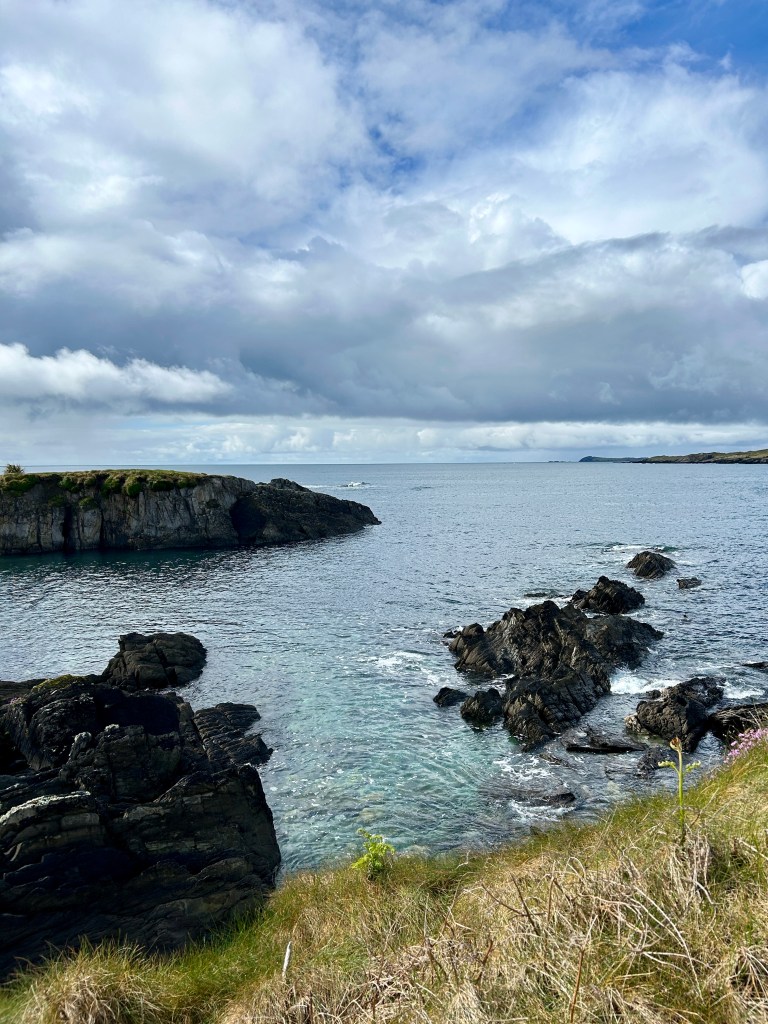
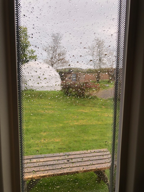
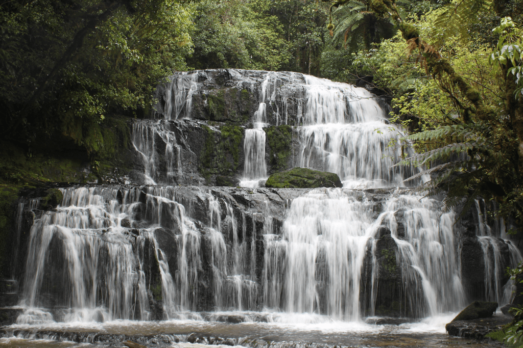
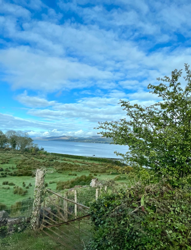
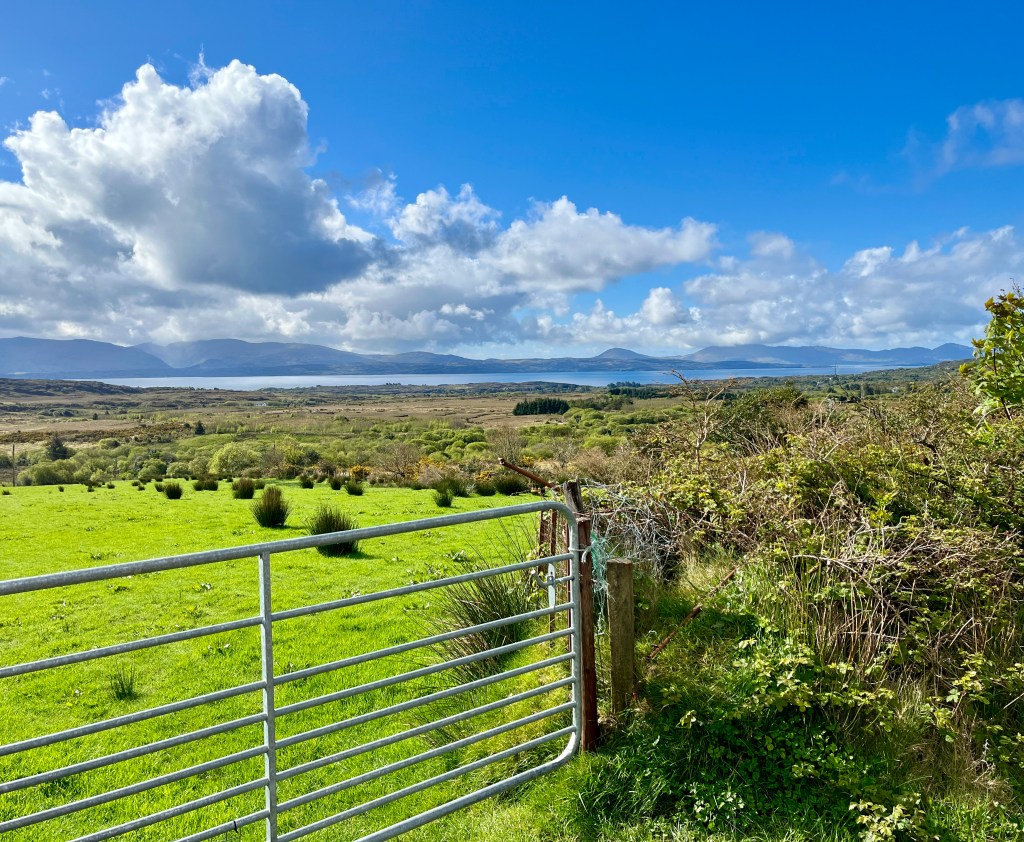
It rained last night. Of course it did. BUT. The morning dawned calm, cool and dry. When we retired last night as the daylight faded, dark and ominous clouds lurked on the western horizon where the Atlantic Ocean met the Lough.

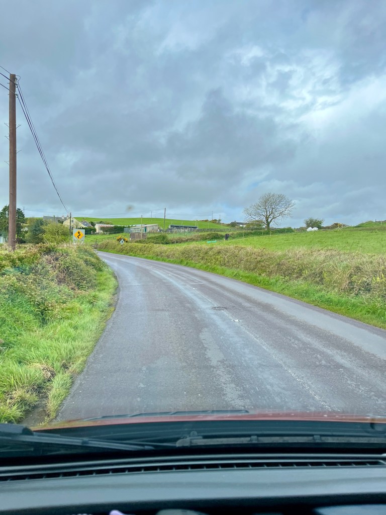
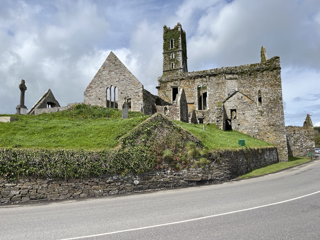
This was the morning that greeted us.

The track behind our van down to the sea and the Atlantic on the horizon.

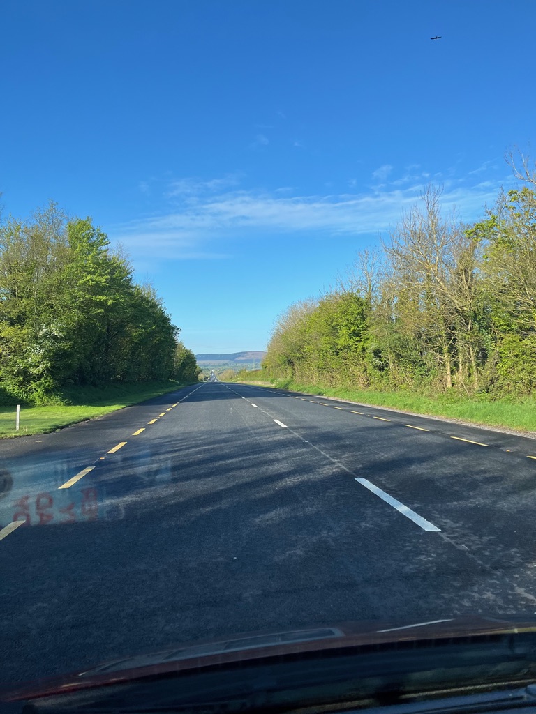
We had a bit of a journey ahead of us to get to Dingle for our next stop. We would complete the navigation of the Beara Peninsular, then we would complete the Ring of Kerry and finally run along the Dingle peninsular to journeys end. As I sit here writing this, little did I know that most of the roads were shall we say a little on the narrow side for a motorhome.

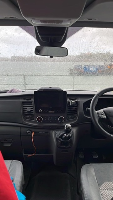
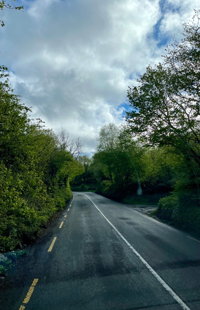
We set off. We stopped for me to take a rest for the locals in vans, trucks and tour buses hurtled past going in the opposite direction and I to this day do not know how my wing mirror came through unscathed. I do have some embarrassing explaining to do to the hire company when I get back as to why the nearside van has a few scratches more than when I picked it up. Caused by the hedgerows that scraped by as I tried to avoid disappearing into them for the above reason! But what an awesome drive.

We actually got stopped in a traffic queue. The small town of Kenmare was pretty but I reckon this is the main hub of activity in these parts.

This is what counts as a traffic jam in these parts.

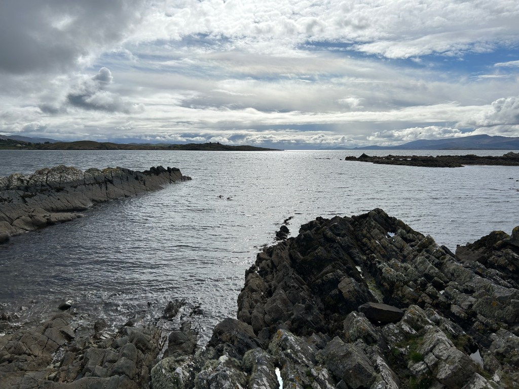
Just to the north of Kenmare the Ring of Kerry starts when you turn west onto the N70 along the southern side of the Iveragh Peninsular. What a road. Sometimes smooth and flat, sometimes horrible and lumpy but always with spectacular views before you. Except the aforementioned lorries and coaches. Maybe their drivers saw my UK number plates and saw me as tourist fair game. I winced waiting for the disintegrating wing mirror every time one went by. Roads Ireland, can you make your roads a little wider please? Or plant the hedges just a little further back. Thank you.

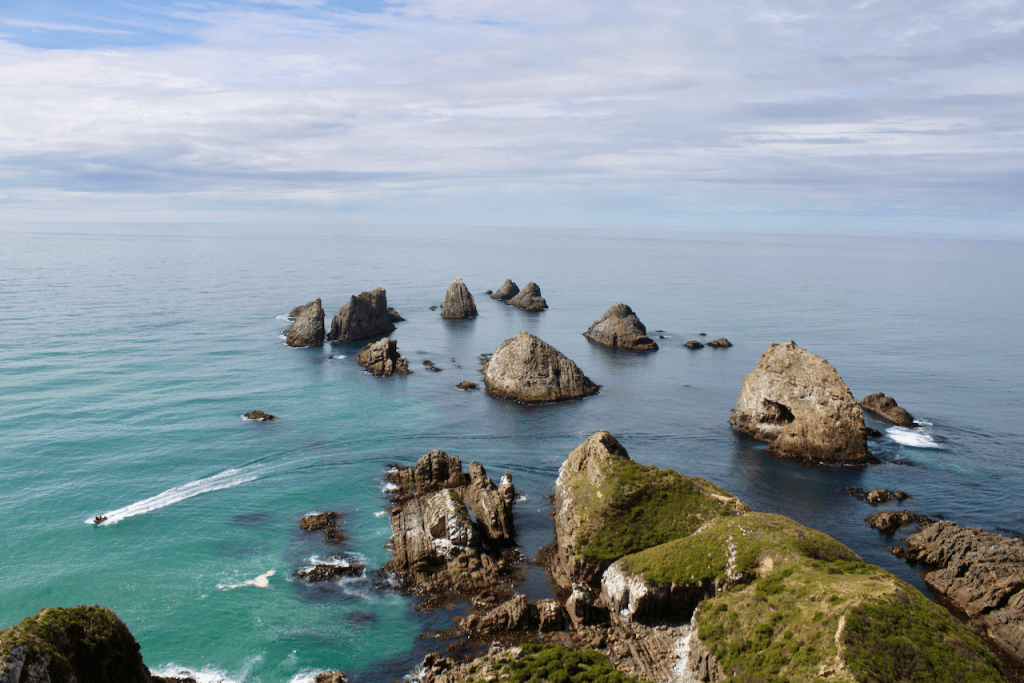
The island of Skellig Michael looms just offshore. It has a history that warrants a call to it but we don’t have time. We passed through a small seaside town called Waterville. It was very popular with tourists and locals alike. But wait. What is a bronze statue of Charlie Chaplin doing in this remote western outpost? Well he was a regular visitor to the town. Waterville is quite the place it would seem.

One of the must sees for me in this part of Ireland was Valentia Island. I remember well coming across the Atlantic on cargo ships heading for the western approaches to the English Channel, picking up radio messages, weather forecasts and safety transmissions from Valentia radio situated on the island. Here is their story. On 13 July 1866, SS Great Eastern steamed westward from Valentia Island laying telegraph cable behind her. The successful landing at Heart’s Content, Newfoundland on 27 July, established the first telegraph link between Europe and North America.

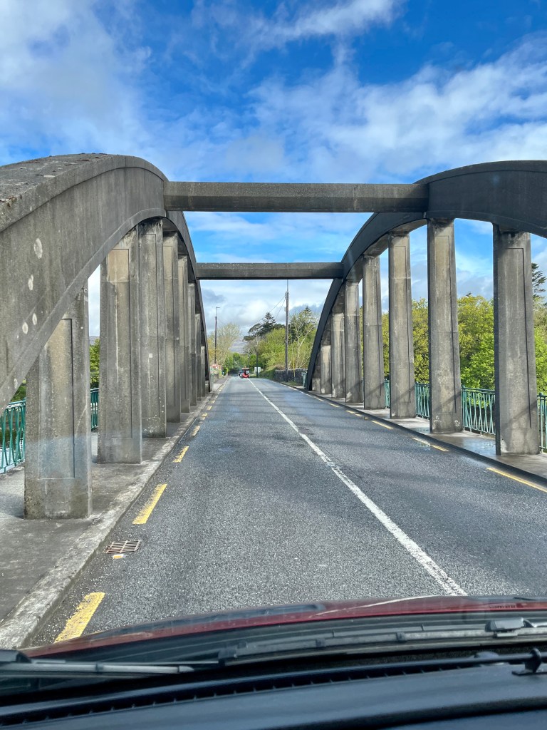
The small town of Portmagee lies on the south side of the bridge that links the island to the mainland and here we took a break to walk the dog, walk ourselves and have lunch. Its a delightful little place if ever you visit this way with its brightly painted houses and shops.

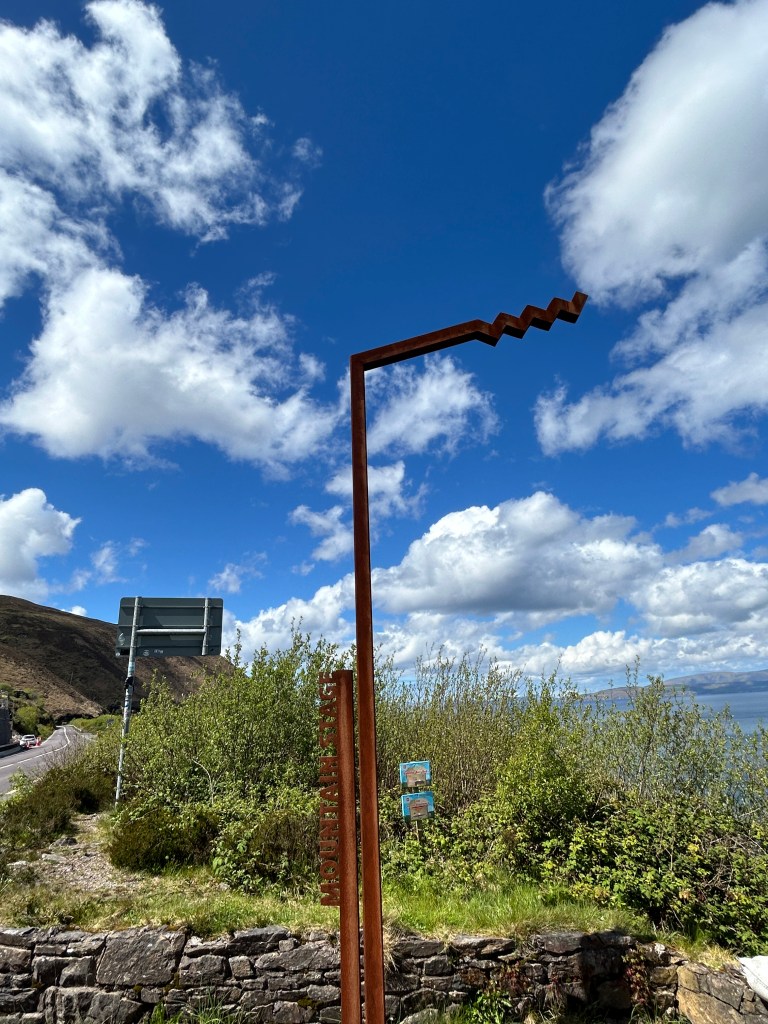
The road now turns east along the Northern part of the peninsular. It undulates following the terrain offering more staggering views across to the Dingle peninsular. I can clearly see the entrance to Dingle harbour away in the distance. I anchored there only last year. We still had over 70 miles to go.

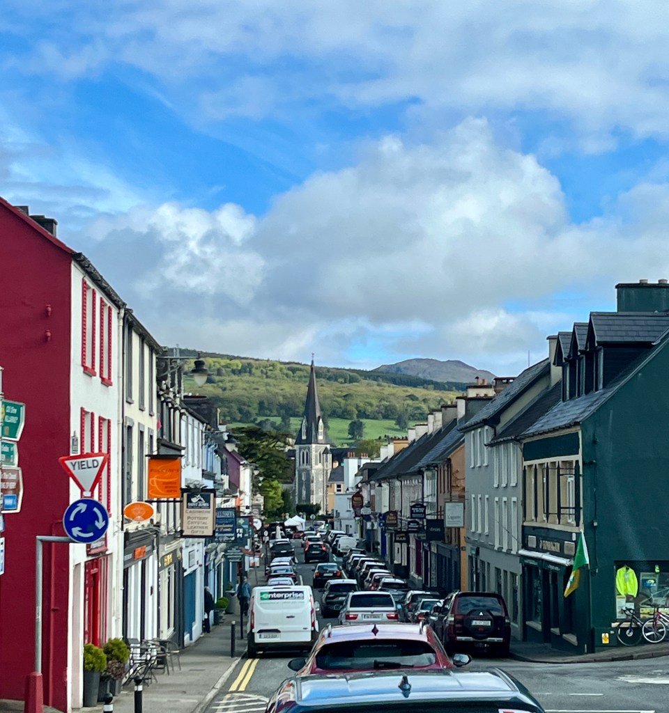
After what seemed like an age we arrived in the bustling town of Dingle. This was clearly a must see place. There were at least 6 large tour coaches in the car park, at least 50 cars parked up and quite a throng moving about taking photos. Us included. We had an Ice cream. Of course Brits do when the temperature finally reaches double figures.

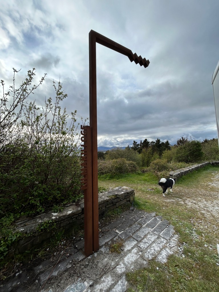
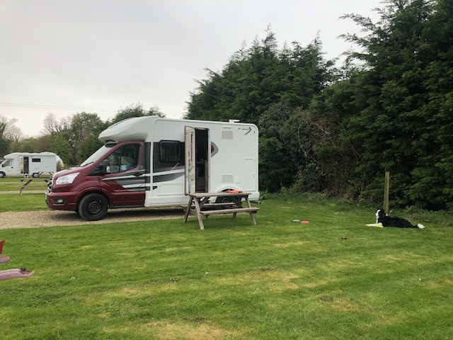
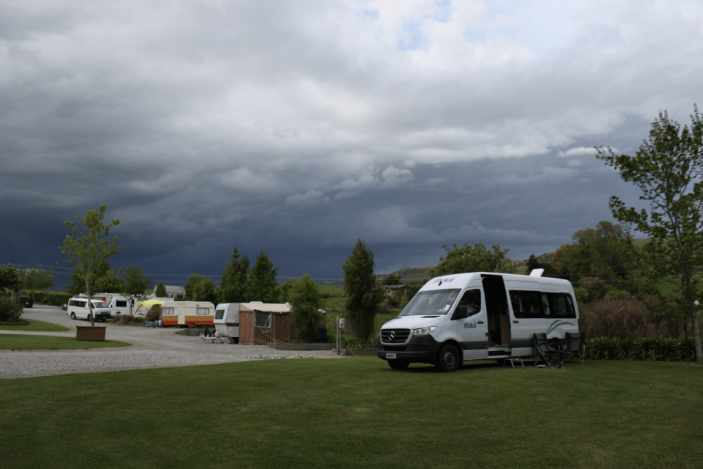
The sky closed in. Lest it rained, again, we hot footed it to our camp for the night at the Oratory House Campsite a few miles north of Dingle town. Said to be Europes most westerly campsite it just had to be visited.

Tomorrow we cross the River Shannon estuary and visit the Cliifs of Moher..

I leave you with a little map of our route so far after one week on the road.

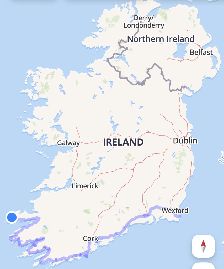
Todays distance: 141 miles

Total Distance: 587 miles

Day 6, Timoleague to Kilmakilloge.

It rained heavily again overnight. The campsite was a bog by the morning. I am beginning to know why Ireland is so green. That, or we are just a bit unlucky with the weather.

The roads around here are much narrower than those of recent days. Not always smooth either.

Traffic remains almost non existent compared to the UK.

The sea is ever present to our left and so it will remain for the days ahead as we follow the Wild Atlantic Way signposts leading us west.

We pass the towns of Clonakilty and Skibbereen. Here is Michael Collins birthplace. I will let you read about him here if you don’t know the name. He is very well known in Ireland.

The road is well posted and off it are far too many places to visit than time allows so we pushed on to Bantry for a Fish and Chip lunch. 

We did stop on the way at the Alter Wedge Tomb to go and take a look. I had read about this Holy place and wanted to see it for myself. It is a listed National Monument of Ireland. You can read more here.

With your back to the tomb this is the view. The site was very well chosen.

We arrived and parked up in Bantry. It was pouring down but a rather sympathetic chip shop owner let a soggy dog and its owners come in and sit for lunch. 

The road now follows the coast of the Beara peninsular forming the north coast of Bantry Bay. I had been in here with a number of ships to anchor off Bantry. Whiddy Island is prominent in the bay and I had read about the flying boats based here that flew out to attack U boats in the second world war trying to protect the Atlantic convoys.

A chance pull over into a lay-by close to Adrigole to let faster cars pass me resulted in this unusual find.

More can be read about it here.

The sinuous road climbs hills and ducks into valleys with the omnipresent sea always as company. The coast is rugged. We pass Castletown-Bearhaven and climb up into a Coll over to a small town called Eyeries and then head North east briefly to our resting place for the night at Kilmakilloge. Even here out in the wilds there is history.

We are off grid here. Alone. Peace and quiet. I love it.

Tomorrow we start the Ring of Kerry. A must do so the guidebooks tell me.

Todays distance: 112 miles

Total distance: 446 miles.

Day 5. Cobh to Kinsale to Timoleague.

The rain thumped down onto the top of the van during the night. Strong and gusty winds rocked us about. By morning the weather had done its worst and the day dawned cloudy and cool but fine and clear.

We set off for the township of Kinsale to our south west. The tourist information office there marks the official beginning/end of the Wild Atlantic Way. 

This is a road that runs the length of the west coast of Ireland from Kinsale in the south to Malin head in the north of Northern Ireland. We would be following it a fair bit in the coming days.

Kinsale is a lovely fishing town. It has a faintly Nordic feel to it.

The fortifications of Charles Fort and James Fort guard the narrow entrance from the sea. Charles Fort at Summercove is one of the finest examples of a 17th-century star-shaped fort in Europe, with 40-foot walls and several bastions. James Fort, dating from 1602, holds the equivalent position across the harbour mouth.

It is twinned with Newport, Rhode Island, Antibes, South of France and Mumbles in Wales.

But what really caught my eye as I wandered around was these two. The McCarthy brothers, Timothy and Mortimer.

Having returned from Antarctica on my ship at the beginning of the year the history of these two gents really struck a chord with me. It was a chance find for me as I had no idea of their connection to Kinsale.

What I also did not know until my visit was that it was from here that James II escaped to France after his defeat at the Battle of the Boyne. Kinsale was also a port of call,in 1703, for the ship called Cinque Ports, which carried Alexander Selkirk on board. Selkirk went on to be marooned on a Pacific island, giving Daniel Defoe the idea for Robinson Crusoe. In 1601, Kinsale was the site of a battle in which English troops defeated Irish and Spanish opposition,resulting in the legendary ‘Flight of the Earls’, a mass exodus of Irish aristocrats to Europe.

Here also can be found the 16th-century Desmond Castle, a three-storey tower house built originally as a Custom House and used in Napoleonic times to house French prisoners of war. Today, the building houses Kinsale’s Museum of Wine.

Another notable building in Kinsale is the courthouse, now housing the regional museum. After the Lusitania was torpedoed by a German U-boat in 1915, an inquest was held in this building, with Captain Turner giving evidence before a jury of shopkeepers and fishermen.

It is amazing what you find when you explore off the beaten track.

Old head of Kinsale Signal Tower.

Having explored the town we headed south to Old Kinsale head adorned with a signal tower and lighthouse. The signal tower houses the Lusitania museum. The Old Head Signal Tower is just over 200 years old. It was built during the Napoleonic wars in response to the threat of a French invasion. There were 81 such towers with line-of-sight visibility from one to the next built to warn of any further invasions. Word could quickly spread around the coast all the way to Dublin. It was off the Old head of Kinsale that a German U boat sank the passenger liner Lusitania. On May 7, 1915, the German submarine (U-boat) U-20 torpedoed and sank the Lusitania. She was on passage from New York to Liverpool. Of the 1,959 men, women, and children on board, 1,195 perished.

It was a windswept and barren place.

We continued to journeys end at our campsite for the night after a brief stop and the quaint village of Timoleague. This has been a great day. The further west we go the more rural the country becomes. Cities give way to towns and villages. This seems more like the Ireland we had imagined.

Todays Mileage: 55 miles

Total Mileage: 334 miles

Day 4. Waterford to Cobh.

I cant believe it! We woke to blue skies. It was still a cool 8C but what a stunning morning.

It was not to last long though.

I’ve said it before and its worth repeating. This countries roads are amazing. There seems to be new road surfaces everywhere. It makes for easy driving. The road from Waterford follows the N25. It is a pleasant start to the day. I could see that ahead a heavy bank of black cloud lurked. The road meanders through green and undulating countryside. Rolling hills of pasture lands dotted with dairy cows reminiscent of the Waikato region of the North Island of New Zealand slid past.

There are toll roads in Ireland. This was not one of them. Most of the way the speed limit was either 100 kms/hr dropping to 80 at times down to 50 when passing through towns. Some of those towns reminded me of France with their little houses and brightly painted shops.

We took a rest break in the small seaside town of Dungarvan. It is really worthwhile taking a punt and leaving the main highway now and then to explore these little places. Dungarvan is very pretty. The road snakes around the harbour and is dominated by the Anglo Norman 12th century castle and the imposing Saint Augustines Catholic church atop a hill at the exit to the town.

The road to Cobh leaves the Cork bypass and drops by winding tree lined roads to the harbour. The sea is ever your companion now. This road is the first taste of the narrow roads that lie ahead. But with little traffic it poses no real challenges. Just take it easy.

We stopped for the night in a motorhome parking bay right on the sea front not a stones throw from the small cruise terminal where I have docked a number of ships. We set off early from Waterford to arrive in Cobh before lunch giving us time to have a wander around the town and for Debbie to visit the Cobh Titanic and History museum covering the mass emigration to the USA following the Great Famine. The first photo below is of Annie Moor. The statue is located on the quayside at Cobh and I have a miniature of it at home given to me when I first called at the harbour on my own ship back in 2004. Here is her story.

We got back to the van just in time for dinner. Just as well. This was the view only a few minutes later

That was the end of day 4. Tomorrow the plan is to head down to Kinsale town and onto the lighthouse. This marks the official start of the Wild Atlantic Way and is the most southerly point of Ireland. Then it will be onto a spot for the night in a campsite somewhere close to Clonakilty. The domestic chores of laundry and so on need doing.

Distance travelled today: 73 miles.

Total distance so far: 279 miles.

Day 3. A day in Waterford City.

This was a day of rest from driving. A bit of sightseeing and a bit of reading a good book. I find that bringing a good book is essential. This is not about packing the miles on for the sake of doing it.

Not looking to be a fantastic start to the day really.

It rained overnight. It rained in the morning. In fact it just rained. This was going to be a soggy adventure at this rate.


Debbie wanted to fulfil a bucket list item of visiting the Waterford Crystal factory and museum. So whilst she did that I took the dog for a walk into the city centre for a look around.

Again what struck me was the lack of garbage strewn around the streets thats commonplace in the UK now. No graffiti. A small road sweeper ran up and down the pedestrian precinct. There seemed to be a pride about the place. 

Waterford is a city steeped in history. You can read more here if you like

Other than being famous for its crystal, it was also the very first city in Ireland. Like most of these places, if you care to dig a little all sorts of interesting facts pop up. Like, for instance, the type of sand used to make Waterfords Crystal comes from Stourbridge in the UK also famous for its own glass works and not far from where we live in Worcestershire. Now I did not know that.

Debbie returned from her tour full of facts, figures and photos. By all accounts it is a must see and do place if you ever visit here. You can see more about Waterfords famous Crystal here.

The day was rounded off by visiting a local pub called The Hub and we decided to get in early. It is Saturday and local knowledge leads us to believe the pubs fill up quickly. The locals gave us a cursory nod. The dog however was the centre of attention. The Irish seem to like their dogs as well as their horses.

A pint of the cold and creamy black gold finished the day. Well what else could one have in an Irish pub?

Tomorrow we will set of early for Cobh. There is a small motorhome park that the guide books tell me is very popular as it is the best for visiting the town. Get there early to have a chance of a spot for the day it says so thats what we will do. I would like to show Debbie where we dock the ships when we come here and also for her to see the Cobh museum which I have been to before.

Day Two, Fishguard to Waterford.

Day two dawned cold, wet and quite miserable looking. Having said that, we both slept very well last night listening to the rain on the roof. The down side to living in a van however is that I have not figured out yet how to operate the heating. We both woke at around 3am due to the cold. I ended up putting my socks on vowing that job number one was how to get the heating to work.

Whilst the actual driving mileage was hardly astounding today at a mere 49 miles, which included two from the campsite to the ferry, the actual mileage needs to be adjusted to consider the 3 ½ hour ferry crossing on the Stena Nordica.

The Irish Sea  was lovely and flat. I used to be on this run myself back in my ferry days and the Irish Sea can be quite nasty. But not today.

What was particularly enjoyable about this crossing was I got to meet an old colleague of mine Captain Richard Davies. He is also the Fishguard Harbour pilot and boarded my own ship recently to take her from sea to the anchorage inside the harbour when we visited here last summer.

In what I suppose it would be seen as a busman’s holiday Debbie and I visited the bridge briefly to say hello to the officers. There I met Chief Officer Tom who just happened to know two of my First Officers on my own ship. It really is a very small world.

Having disembarked the ferry in the Port of Rosslare, our first call was to the animal quarantine department of the Irish customs to present our dogs papers for inspection. Having passed muster it was then a short journey down to our spot in the centre of the city of Waterford where we would spend the next two nights giving us a full day to explore the city.

The N25 runs all the way from Rosslare to Waterford. It is a delightful road to drive on. A good quality surface through lovely countryside runs over the New Ross bridge into County Waterford. What you notice almost right away is how clean and tidy this country is. No rubbish strewn roads like back home. Very little traffic on the roads. Reminds me so much of New Zealand.

At a mere 8°C it was overcast and chilly and the rain showers with persistent. Day three will be spent exploring the city of Waterford and I do hope we get some improvement in the weather.

Home for the night. Whilst the view out the window of the Waterside carpark may not be the most pleasant you will ever see, the location could not be better. 10 minutes walk into the city centre and the Waterford Crystal exhibition is the reason to be here.

Today’s Mileage :49 miles.

Total mileage: 206.

Day One. Home to Fishguard.

It was April 25th. The day. It was chilly and overcast when I picked up our home from the Midland Motorhome centre in the village of Inkberrow, Worcestershire for the next month. A Ford Motorhome Autotrail 60 fit for Debbie and I and Leia our Border Collie.

I initially took it to our home to load it up with the stuff needed to sustain the aforementioned travellers. You would think that makers of said vehicles would at least fit it out with a reasonable amount of storage thinking perhaps that folk would be residing in it for more than say 6 hours. But oh no! So we started stuffing what we thought we would need into any nook and cranny. Well at least until we settled in and realised that what we actually needed we had left behind.

It was to be a journey of around 5 hours to get from home to the ferry but I had not driven a manual gearbox vehicle for a long time nor had I driven a motorhome on the UK roads before so rather than rush to catch the 14:00 ferry on the 26th we decided to set off at a somewhat leisurely pace, stay overnight somewhere in the vicinity of the ferry port, get something to eat, a good nights rest and then meander on down to the port at our leisure.

What is immediately apparent is the size of the vehicle. It is a nippy wee thing. Its 6 gears motor it along quite comfortably. It does lean a bit in the corners. But it is more than capable of cruising along at 60 mph comfortably. That is until you hit the roads of rural England and Wales. Then you discover the rather hard suspension causes it to crash and thump over the appalling road surfaces that pass for main highways in the UK. The contents of the cupboards rattle and bang as the van shudders over every pothole. We stopped frequently to reset the cupboards contents, stretch our legs and let to the dog out for a sniff around. 

Home for the night was the Tregroes Caravan, camping and clamping park just 2 miles away from the ferry terminal. It was peaceful, quiet and set in a lovely park like area.  Lorraine greeted us like long lost friends. The on site restaurant served home cook fare of lasagnes, burgers, sandwiches and a variety of other items sure to satisfy most tastes. Washed down with a pint of Atlantic IPA on tap, it was a feast at the end of the day. Tomorrow we cross the Irish Sea and hope to meet an old colleague of mine. More on that tomorrow.

Day one had come to a close. 

Days mileage: 157.

Day 12. Papatowai to Roxburgh

Distance travelled: 189 kms. We left the Catlins, an area of New Zealand of outstanding natural beauty. Not mountains. Indigenous natural forests, water falls, blue seas and sandy bays. I loved it all. Just a short distance from our overnight stop are the Purakaunui Falls. We had been told about this waterfall by a number of people. You must see them they said. One thing you notice about this country is that where there are tourist must see’s, the Department of Conservation (Known as DOC, dock) do an outstanding job of installing a carpark and toilet (usually a long drop). This place was no exception. To get to the falls we took a walk of around 15 minutes through native bush. There were so many beautiful tree ferns called Pungas that it looked prehistoric. The falls themselves were not spectacular on a World scale such as the Niagara or Victoria Falls. But in the setting where they were they were stunning. A place I wanted to visit was Nugget Point. The only reason was that having sailed ships around this coast, I had navigated using Nugget Point lighthouse on a number of occasions. To see it from the land would be something special. It is a bit of a detour but well worth it. The walk from the car park out to the peninsular upon which the lighthouse stands is precipitous. A sign warns parents to keep your children close by due to the shear drops. Down to the sea. Health and Safety have kept away. I love it! Once at the lighthouse the views take your breath away. Azure blue seas turn white as the swell crashes against the nuggets in foaming waves. King kelp up to 10 metres in length swirls like auburn hair around the rocks. This place is majestic. Put it on your list when you come to this part of the planet. From Nugget Point we retraced our track to the main highway and headed to our next stop for the night at Roxburgh. The plan was to head a little further on but a threatening sky ahead meant we decided to stop a little early and get set up before any bad weather set in.

Purakaunui Falls. What3words location for the carpark is: sender.catacomb.snore
Nugget Point Lighthouse. What3words location is: beverages.ribcage.disturb
The Nuggets looking down from the lighthouse viewing platform. What3words location: pogo.motivations.wags
Camp in Roxburgh just before the heavy rain got to us. What3words location: plugs.gets.skulk