The rain thumped down onto the top of the van during the night. Strong and gusty winds rocked us about. By morning the weather had done its worst and the day dawned cloudy and cool but fine and clear.
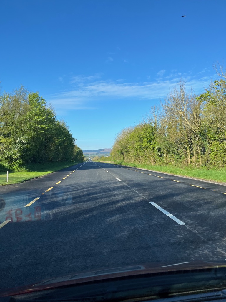
We set off for the township of Kinsale to our south west. The tourist information office there marks the official beginning/end of the Wild Atlantic Way.
This is a road that runs the length of the west coast of Ireland from Kinsale in the south to Malin head in the north of Northern Ireland. We would be following it a fair bit in the coming days.
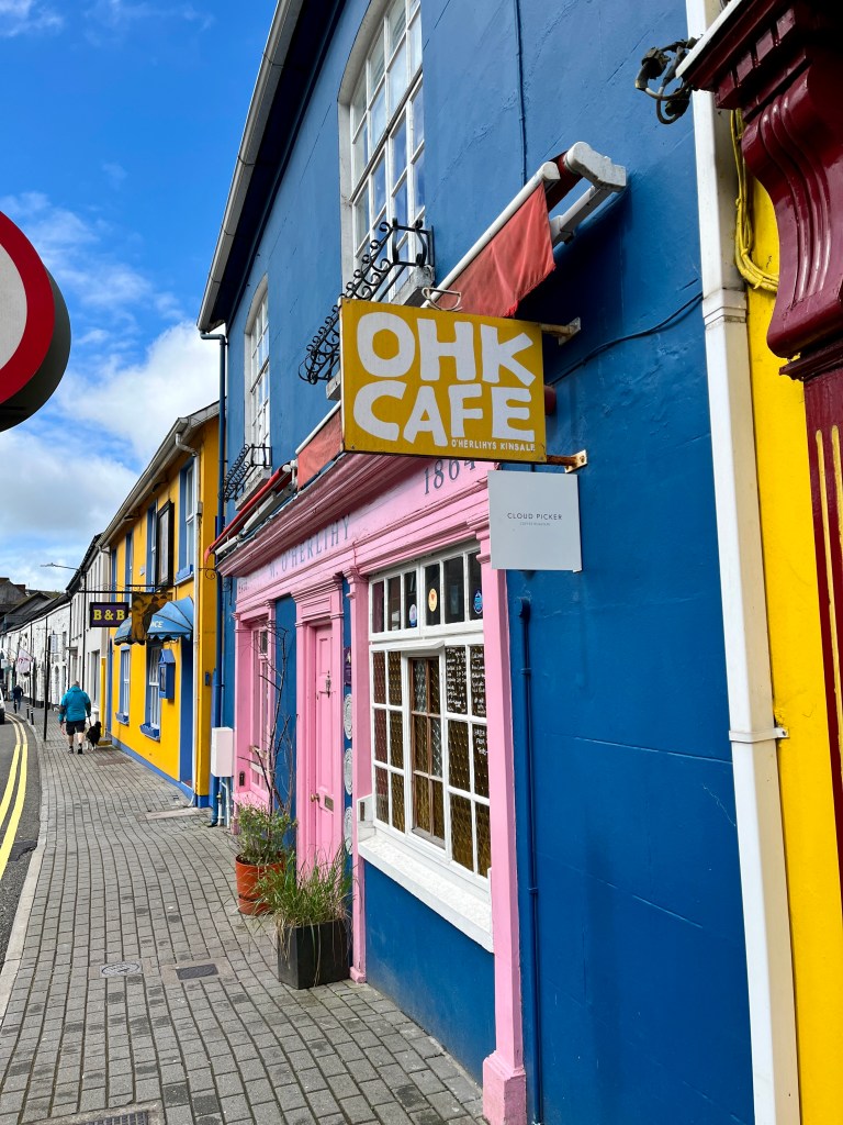
Kinsale is a lovely fishing town. It has a faintly Nordic feel to it.

The fortifications of Charles Fort and James Fort guard the narrow entrance from the sea. Charles Fort at Summercove is one of the finest examples of a 17th-century star-shaped fort in Europe, with 40-foot walls and several bastions. James Fort, dating from 1602, holds the equivalent position across the harbour mouth.
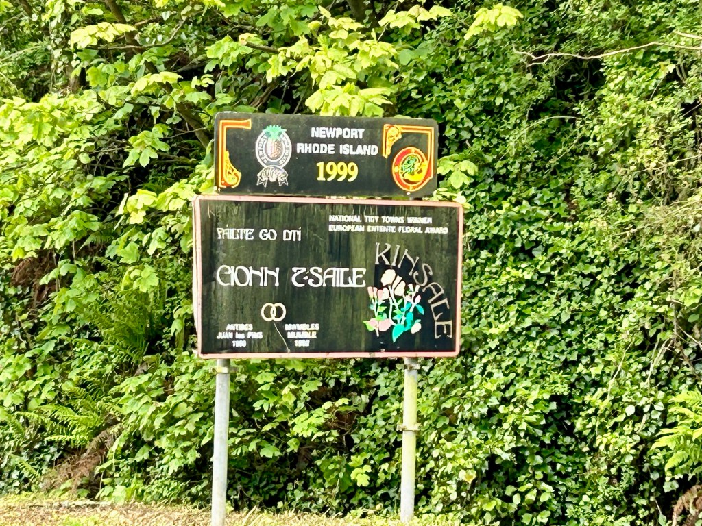
It is twinned with Newport, Rhode Island, Antibes, South of France and Mumbles in Wales.
But what really caught my eye as I wandered around was these two. The McCarthy brothers, Timothy and Mortimer.
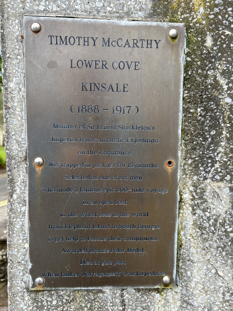


Having returned from Antarctica on my ship at the beginning of the year the history of these two gents really struck a chord with me. It was a chance find for me as I had no idea of their connection to Kinsale.
What I also did not know until my visit was that it was from here that James II escaped to France after his defeat at the Battle of the Boyne. Kinsale was also a port of call,in 1703, for the ship called Cinque Ports, which carried Alexander Selkirk on board. Selkirk went on to be marooned on a Pacific island, giving Daniel Defoe the idea for Robinson Crusoe. In 1601, Kinsale was the site of a battle in which English troops defeated Irish and Spanish opposition,resulting in the legendary ‘Flight of the Earls’, a mass exodus of Irish aristocrats to Europe.
Here also can be found the 16th-century Desmond Castle, a three-storey tower house built originally as a Custom House and used in Napoleonic times to house French prisoners of war. Today, the building houses Kinsale’s Museum of Wine.
Another notable building in Kinsale is the courthouse, now housing the regional museum. After the Lusitania was torpedoed by a German U-boat in 1915, an inquest was held in this building, with Captain Turner giving evidence before a jury of shopkeepers and fishermen.
It is amazing what you find when you explore off the beaten track.

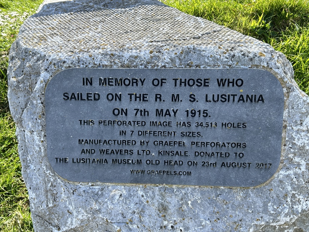
Having explored the town we headed south to Old Kinsale head adorned with a signal tower and lighthouse. The signal tower houses the Lusitania museum. The Old Head Signal Tower is just over 200 years old. It was built during the Napoleonic wars in response to the threat of a French invasion. There were 81 such towers with line-of-sight visibility from one to the next built to warn of any further invasions. Word could quickly spread around the coast all the way to Dublin. It was off the Old head of Kinsale that a German U boat sank the passenger liner Lusitania. On May 7, 1915, the German submarine (U-boat) U-20 torpedoed and sank the Lusitania. She was on passage from New York to Liverpool. Of the 1,959 men, women, and children on board, 1,195 perished.


It was a windswept and barren place.
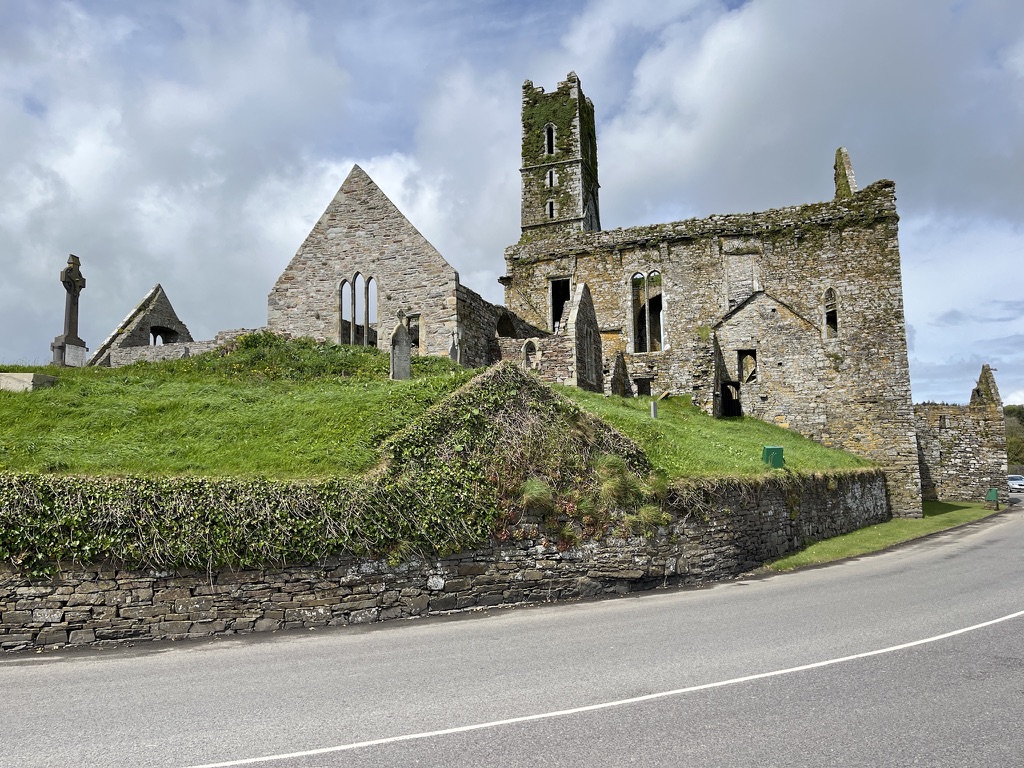
We continued to journeys end at our campsite for the night after a brief stop and the quaint village of Timoleague. This has been a great day. The further west we go the more rural the country becomes. Cities give way to towns and villages. This seems more like the Ireland we had imagined.


Todays Mileage: 55 miles
Total Mileage: 334 miles